 Murrysville
Coraopolis
O'Fallon
Salisbury
Bridgeport
Ellwood City
New Kensington
West Mifflin
Cranberry Township
Bloomington
Normal
Batavia
Naperville
Lisle
Auburn Hills
Flora
Southfield
Evansville
Amarillo
Murrysville
Coraopolis
O'Fallon
Salisbury
Bridgeport
Ellwood City
New Kensington
West Mifflin
Cranberry Township
Bloomington
Normal
Batavia
Naperville
Lisle
Auburn Hills
Flora
Southfield
Evansville
Amarillo
Elmhurst on the map, United States
Where is located Elmhurst
Exact location — Elmhurst, DuPage County, Illinois, United States, marked on the map with a red marker.
Coordinates
Elmhurst, United States coordinates in decimal format: latitude — 41.8994744, longitude — -87.9403418. When converted to degrees, minutes, seconds Elmhurst has the following coordinates: 41°53′58.11 north latitude and -87°56′25.23 east longitude.
Population
Elmhurst, DuPage County, Illinois, United States, according to our data the population is — 45,060 residents, which is about 0% of the total population of the country (United States).
Comparison of the population on the graph:
Exact time
Time zone for this location Elmhurst — UTC -5 America/Chicago. Exact time — tuesday, 4 april 2024 year, 04 h. 23 minutes.
Sunrise and sunset
Elmhurst, sunrise and sunset data for a date — tuesday 23.04.2024.
| Sunrise | Sunset | Day (duration) |
|---|---|---|
| 06:01 -1 minute | 19:38 +1 minute | 13 h. 36 minutes. +2 minutes |
You can control the scale of the map using the auxiliary tools to find out exactly where it is located Elmhurst. When you change the scale of the map, the width of the ruler also changes (in kilometers and miles).
Nearby cities
The largest cities that are located nearby:
- Naperville — 24 km
- Chicago — 26 km
- Aurora — 35 km
- Joliet — 43 km
- Rockford — 103 km
- Milwaukee — 126 km
- South Bend — 142 km
- Madison — 175 km
- Peoria — 192 km
- Grand Rapids — 218 km
- Fort Wayne — 250 km
- Indianapolis — 280 km
- Green Bay — 290 km
- Lansing — 290 km
- Ann Arbor — 346 km
- Toledo — 363 km
- Flint — 365 km
- Detroit — 403 km
- Windsor
 (Canada) — 404 km
Distance to neighboring capitals:
- Ottawa (Canada) — 1059 km
- Mexico City
 (Mexico) — 2713 km
 - Belmopan
 (Belize) — 2743 km
 - Guatemala City
 (Guatemala) — 3045 km
 - Nuuk
 (Greenland) — 3378 km
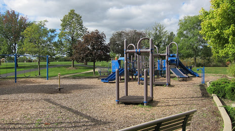
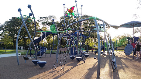
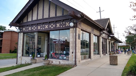
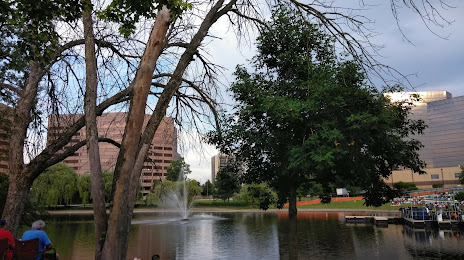
Attractions


Distance to the capital
Distance to the capital (Washington) is about — 981 km.