 Coraopolis
O'Fallon
Salisbury
Bridgeport
Ellwood City
New Kensington
West Mifflin
Cranberry Township
Wheeling
Cary
Bloomington
Normal
Batavia
Naperville
Lisle
Auburn Hills
Flora
Southfield
Evansville
Coraopolis
O'Fallon
Salisbury
Bridgeport
Ellwood City
New Kensington
West Mifflin
Cranberry Township
Wheeling
Cary
Bloomington
Normal
Batavia
Naperville
Lisle
Auburn Hills
Flora
Southfield
Evansville
Bangor on the map, United States
Where is located Bangor
Exact location — Bangor, Penobscot County, Maine, United States, marked on the map with a red marker.
Coordinates
Bangor, United States coordinates in decimal format: latitude — 44.8011821, longitude — -68.7778138. When converted to degrees, minutes, seconds Bangor has the following coordinates: 44°48′4.26 north latitude and -68°46′40.13 east longitude.
Population
Bangor, Penobscot County, Maine, United States, according to our data the population is — 31,534 residents, which is about 0% of the total population of the country (United States).
Comparison of the population on the graph:
Exact time
Time zone for this location Bangor — UTC -4 America/New_York. Exact time — saturday, 4 april 2024 year, 12 h. 40 minutes.
Sunrise and sunset
Bangor, sunrise and sunset data for a date — saturday 20.04.2024.
| Sunrise | Sunset | Day (duration) |
|---|---|---|
| 05:44 -1 minute | 19:23 +1 minute | 13 h. 42 minutes. +2 minutes |
You can control the scale of the map using the auxiliary tools to find out exactly where it is located Bangor. When you change the scale of the map, the width of the ruler also changes (in kilometers and miles).
Nearby cities
The largest cities that are located nearby:
- Sherbrooke
 (Canada) — 250 km
 - Levis (Canada) — 284 km
- Quebec (Canada) — 289 km
- Manchester — 294 km
- Lowell — 316 km
- Boston — 328 km
- Cambridge — 329 km
- Trois-Rivières (Canada) — 334 km
- Worcester — 374 km
- Longueuil (Canada) — 375 km
- Montreal (Canada) — 379 km
- Laval (Canada) — 392 km
- Providence — 394 km
- Amherst — 408 km
- Halifax (Canada) — 410 km
- Dartmouth (Canada) — 410 km
- Springfield — 432 km
- Saguenay (Canada) — 435 km
- Hartford — 465 km
Distance to neighboring capitals:
- Ottawa (Canada) — 547 km
- Nuuk
 (Greenland) — 2402 km
 - Belmopan
 (Belize) — 3586 km
 - Guatemala City
 (Guatemala) — 3934 km
 - Mexico City
 (Mexico) — 3973 km
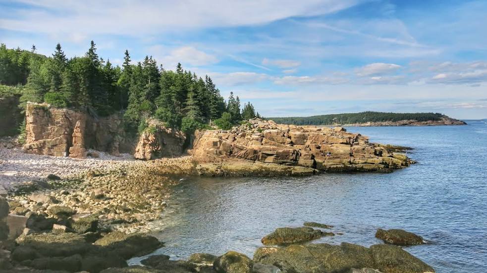
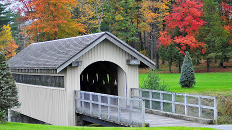
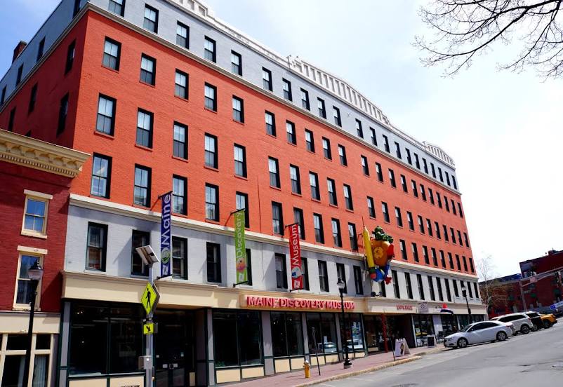
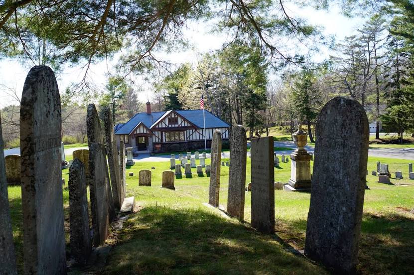
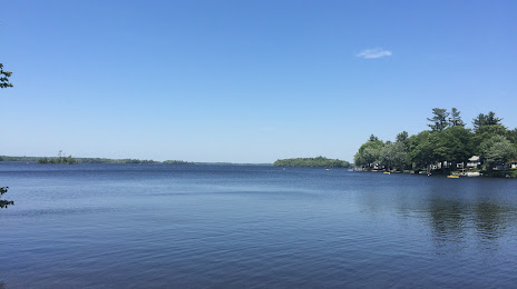
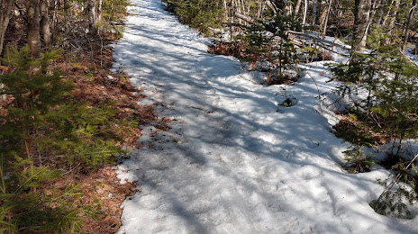
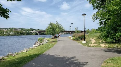
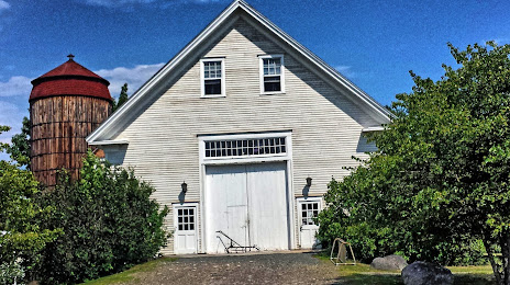
Attractions


Distance to the capital
Distance to the capital (Washington) is about — 947 km.