 Morrisville
Greenville
Milwaukee
Fort Worth
Raleigh
New Bern
Brunswick
Fair Lawn
Chapel Hill
Heyworth
Oak Brook
Freer
Folsom
Westmont
Leominster
Downers Grove
Franklin Park
Streator
Cary
Morrisville
Greenville
Milwaukee
Fort Worth
Raleigh
New Bern
Brunswick
Fair Lawn
Chapel Hill
Heyworth
Oak Brook
Freer
Folsom
Westmont
Leominster
Downers Grove
Franklin Park
Streator
Cary
Chino on the map, United States
Where is located Chino
Exact location — Chino, San Bernardino County, California, United States, marked on the map with a red marker.
Coordinates
Chino, United States coordinates in decimal format: latitude — 34.0122346, longitude — -117.688944. When converted to degrees, minutes, seconds Chino has the following coordinates: 34°0′44.04 north latitude and -117°41′20.2 east longitude.
Population
Chino, San Bernardino County, California, United States, according to our data the population is — 75,494 residents, which is about 0% of the total population of the country (United States).
Comparison of the population on the graph:
Exact time
Time zone for this location Chino — UTC -7 America/Los_Angeles. Exact time — thursday, 4 april 2024 year, 14 h. 39 minutes.
Sunrise and sunset
Chino, sunrise and sunset data for a date — thursday 25.04.2024.
| Sunrise | Sunset | Day (duration) |
|---|---|---|
| 06:09 -1 minute | 19:27 +1 minute | 13 h. 18 minutes. +2 minutes |
You can control the scale of the map using the auxiliary tools to find out exactly where it is located Chino. When you change the scale of the map, the width of the ruler also changes (in kilometers and miles).
Nearby cities
The largest cities that are located nearby:
- Ontario — 7 km
- Pomona — 7 km
- Rancho Cucamonga — 14 km
- Corona — 19 km
- West Covina — 24 km
- Fontana — 25 km
- Fullerton — 27 km
- Riverside — 28 km
- Anaheim — 28 km
- Orange — 29 km
- Rialto — 31 km
- El Monte — 32 km
- Santa Ana — 34 km
- Garden Grove — 35 km
- Irvine — 38 km
- Norwalk — 38 km
- San Bernardino — 38 km
- Downey — 42 km
- Moreno Valley — 43 km
Distance to neighboring capitals:
- Mexico City
 (Mexico) — 2447 km
 - Belmopan
 (Belize) — 3428 km
 - Guatemala City
 (Guatemala) — 3477 km
 - Ottawa
 (Canada) — 3761 km
 - Nuuk
 (Greenland) — 5496 km
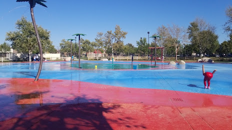
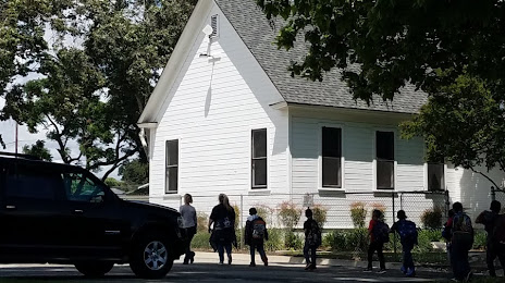
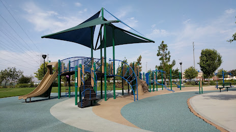
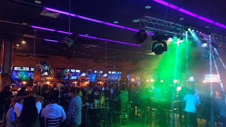
Attractions


Distance to the capital
Distance to the capital (Washington) is about — 3647 km.