 Greenville
Milwaukee
Fort Worth
Raleigh
New Bern
Brunswick
Fair Lawn
Chapel Hill
Boise
Elmhurst
Heyworth
Oak Brook
Freer
Folsom
Westmont
Leominster
Downers Grove
Franklin Park
Streator
Greenville
Milwaukee
Fort Worth
Raleigh
New Bern
Brunswick
Fair Lawn
Chapel Hill
Boise
Elmhurst
Heyworth
Oak Brook
Freer
Folsom
Westmont
Leominster
Downers Grove
Franklin Park
Streator
Warwick on the map, United States
Where is located Warwick
Exact location — Warwick, Kent County, Rhode Island, United States, marked on the map with a red marker.
Coordinates
Warwick, United States coordinates in decimal format: latitude — 41.7001009, longitude — -71.4161671. When converted to degrees, minutes, seconds Warwick has the following coordinates: 41°42′0.36 north latitude and -71°24′58.2 east longitude.
Population
Warwick, Kent County, Rhode Island, United States, according to our data the population is — 88,071 residents, which is about 0% of the total population of the country (United States).
Comparison of the population on the graph:
Exact time
Time zone for this location Warwick — UTC -4 America/New_York. Exact time — friday, 4 april 2024 year, 19 h. 59 minutes.
Sunrise and sunset
Warwick, sunrise and sunset data for a date — friday 19.04.2024.
| Sunrise | Sunset | Day (duration) |
|---|---|---|
| 06:01 -1 minute | 19:27 +1 minute | 13 h. 24 minutes. +2 minutes |
You can control the scale of the map using the auxiliary tools to find out exactly where it is located Warwick. When you change the scale of the map, the width of the ruler also changes (in kilometers and miles).
Nearby cities
The largest cities that are located nearby:
- Providence — 14 km
- Worcester — 70 km
- Cambridge — 79 km
- Boston — 79 km
- Lowell — 104 km
- Hartford — 105 km
- Springfield — 106 km
- Amherst — 113 km
- New Haven — 133 km
- Waterbury — 136 km
- Manchester — 143 km
- Bridgeport — 159 km
- Stamford — 191 km
- Yonkers — 224 km
- New York — 243 km
- Brooklyn — 243 km
- Paterson — 246 km
- Newark — 254 km
- Elizabeth — 261 km
Distance to neighboring capitals:
- Ottawa
 (Canada) — 539 km
 - Nuuk
 (Greenland) — 2800 km
 - Belmopan
 (Belize) — 3182 km
 - Guatemala City
 (Guatemala) — 3530 km
 - Mexico City
 (Mexico) — 3600 km
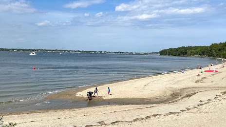
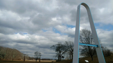
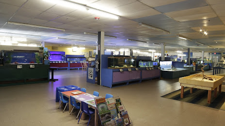
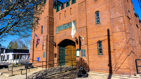
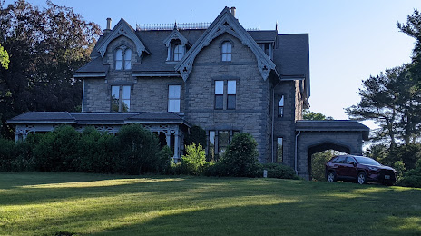
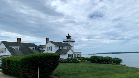
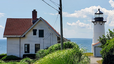
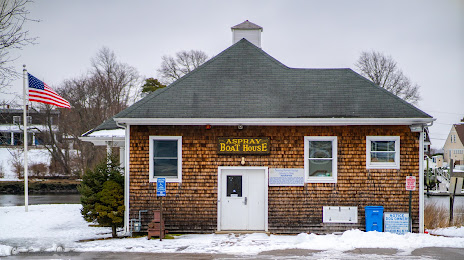
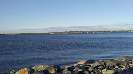
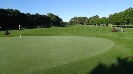
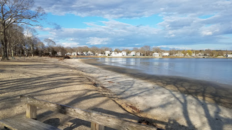
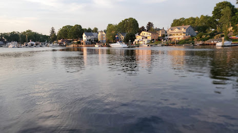
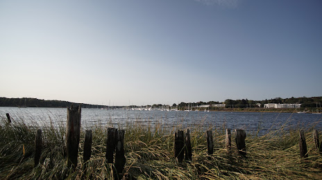
Attractions


Distance to the capital
Distance to the capital (Washington) is about — 569 km.