 Frankfort
Herndon
Warrenton
Arlington
Gordonsville
Catlett
Winchester
Piru
Leesburg
O'Fallon
Coraopolis
Murrysville
Warwick
Chino
Enfield
Willowbrook
Savannah
Hacienda Heights
Bolingbrook
Frankfort
Herndon
Warrenton
Arlington
Gordonsville
Catlett
Winchester
Piru
Leesburg
O'Fallon
Coraopolis
Murrysville
Warwick
Chino
Enfield
Willowbrook
Savannah
Hacienda Heights
Bolingbrook
Fort Worth on the map, United States
Where is located Fort Worth
Exact location — Fort Worth, Tarrant County, Texas, United States, marked on the map with a red marker.
Coordinates
Fort Worth, United States coordinates in decimal format: latitude — 32.7554883, longitude — -97.3307658. When converted to degrees, minutes, seconds Fort Worth has the following coordinates: 32°45′19.76 north latitude and -97°19′50.76 east longitude.
Population
Fort Worth, Tarrant County, Texas, United States, according to our data the population is — 618,119 residents, which is about 0.2% of the total population of the country (United States).
Comparison of the population on the graph:
Exact time
Time zone for this location Fort Worth — UTC -5 America/Chicago. Exact time — friday, 4 april 2024 year, 19 h. 00 minutes.
Sunrise and sunset
Fort Worth, sunrise and sunset data for a date — friday 19.04.2024.
| Sunrise | Sunset | Day (duration) |
|---|---|---|
| 06:56 -1 minute | 19:59 -0 minutes | 13 h. 6 minutes. +1 minute |
You can control the scale of the map using the auxiliary tools to find out exactly where it is located Fort Worth. When you change the scale of the map, the width of the ruler also changes (in kilometers and miles).
Nearby cities
The largest cities that are located nearby:
- Arlington — 21 km
- Grand Prairie — 31 km
- Irving — 36 km
- Carrollton — 48 km
- Dallas — 50 km
- Denton — 54 km
- Richardson — 60 km
- Frisco — 64 km
- Plano — 65 km
- Garland — 67 km
- Mesquite — 68 km
- Waco — 134 km
- Wichita Falls — 167 km
- Killeen — 185 km
- Abilene — 227 km
- Norman — 273 km
- Austin — 278 km
- Oklahoma City — 300 km
- Shreveport — 335 km
Distance to neighboring capitals:
- Mexico City
 (Mexico) — 1493 km
 - Belmopan
 (Belize) — 1926 km
 - Guatemala City
 (Guatemala) — 2132 km
 - Ottawa
 (Canada) — 2327 km
 - Nuuk
 (Greenland) — 4669 km
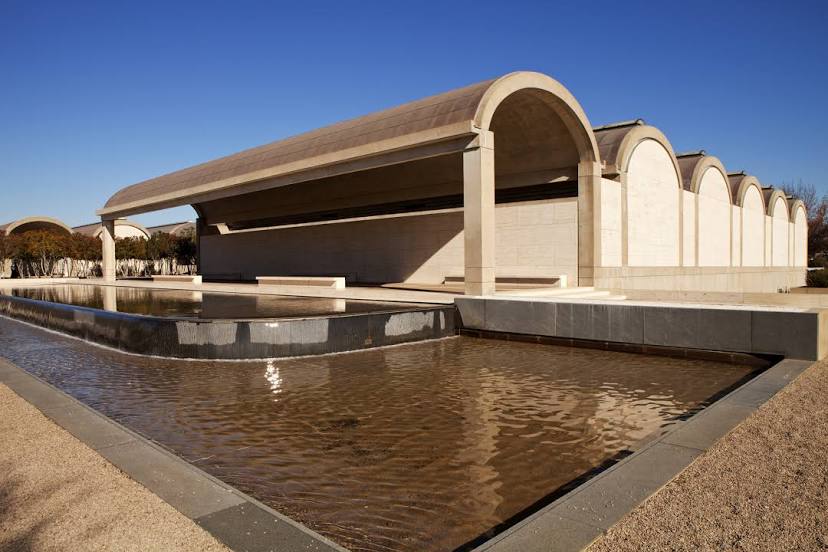
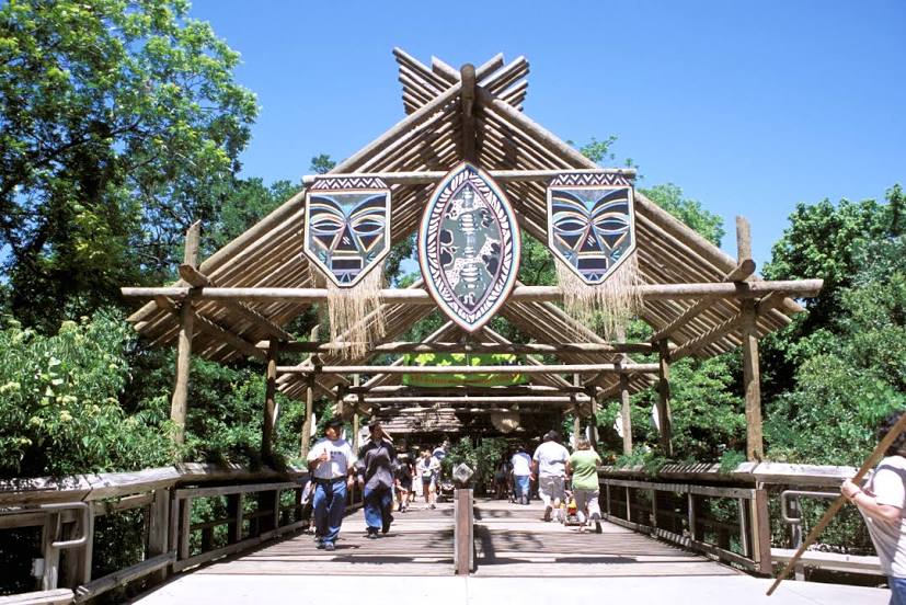
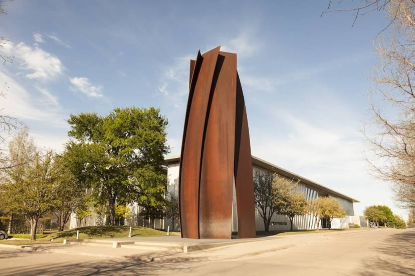
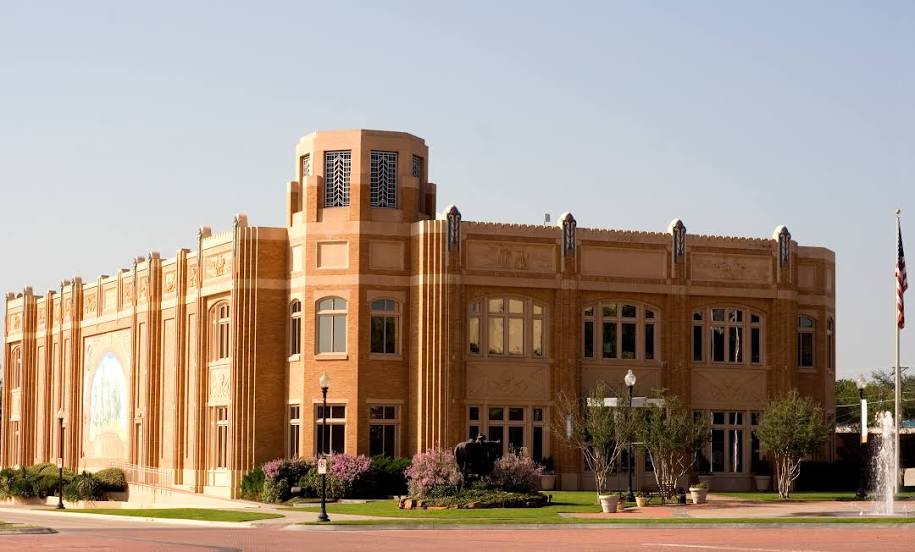
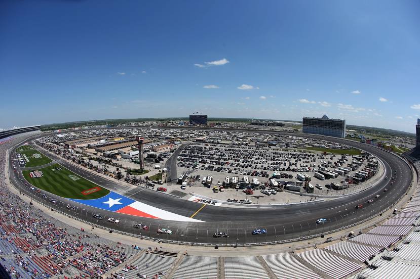
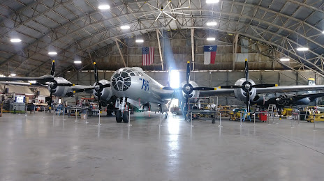
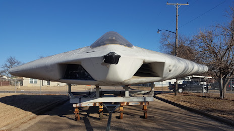
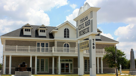
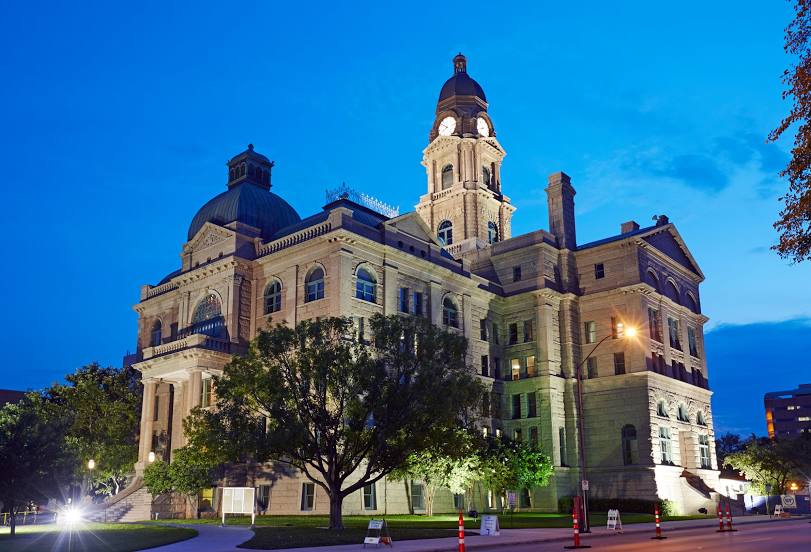
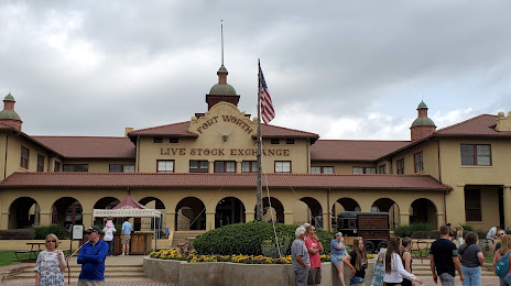
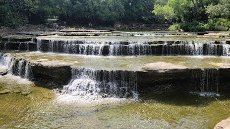
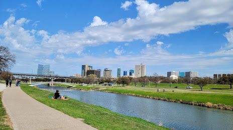
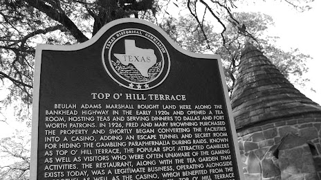
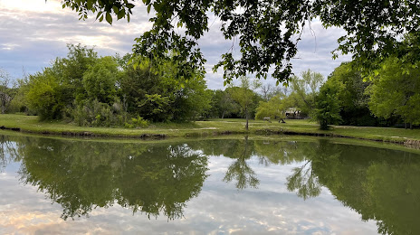
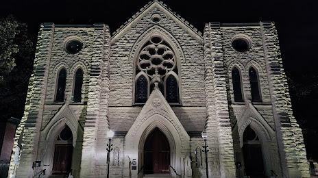
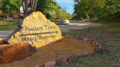
Attractions


Distance to the capital
Distance to the capital (Washington) is about — 1949 km.