 Fuquay Varina
Holland
Gahanna
Birmingham
Fostoria
Palm Springs
Southern Pines
Edenton
Fayetteville
Milwaukee
Greenville
Morrisville
Wheeling
Cranberry Township
West Mifflin
New Kensington
Ellwood City
Bridgeport
Salisbury
Fuquay Varina
Holland
Gahanna
Birmingham
Fostoria
Palm Springs
Southern Pines
Edenton
Fayetteville
Milwaukee
Greenville
Morrisville
Wheeling
Cranberry Township
West Mifflin
New Kensington
Ellwood City
Bridgeport
Salisbury
Culpeper on the map, United States
Where is located Culpeper
Exact location — Culpeper, Culpeper County, Virginia, United States, marked on the map with a red marker.
Coordinates
Culpeper, United States coordinates in decimal format: latitude — 38.4729632, longitude — -77.9962512. When converted to degrees, minutes, seconds Culpeper has the following coordinates: 38°28′22.67 north latitude and -77°59′46.5 east longitude.
Population
Culpeper, Culpeper County, Virginia, United States, according to our data the population is — 11,009 residents, which is about 0% of the total population of the country (United States).
Comparison of the population on the graph:
Exact time
Time zone for this location Culpeper — UTC -4 America/New_York. Exact time — thursday, 4 april 2024 year, 10 h. 20 minutes.
Sunrise and sunset
Culpeper, sunrise and sunset data for a date — thursday 25.04.2024.
| Sunrise | Sunset | Day (duration) |
|---|---|---|
| 06:24 -1 minute | 19:55 +1 minute | 13 h. 30 minutes. +2 minutes |
You can control the scale of the map using the auxiliary tools to find out exactly where it is located Culpeper. When you change the scale of the map, the width of the ruler also changes (in kilometers and miles).
Nearby cities
The largest cities that are located nearby:
- Alexandria — 90 km
- Richmond — 114 km
- Baltimore — 149 km
- Hampton — 216 km
- Norfolk — 235 km
- Chesapeake — 242 km
- Virginia Beach — 253 km
- Pittsburgh — 275 km
- Durham — 286 km
- Philadelphia — 290 km
- Raleigh — 303 km
- Cary — 305 km
- Greensboro — 310 km
- Allentown — 316 km
- Winston-Salem — 330 km
- Toms River — 361 km
- Edison — 377 km
- Fayetteville — 386 km
- Elizabeth — 399 km
Distance to neighboring capitals:
- Ottawa
 (Canada) — 796 km
 - Belmopan
 (Belize) — 2582 km
 - Guatemala City
 (Guatemala) — 2925 km
 - Mexico City
 (Mexico) — 2938 km
 - Nuuk
 (Greenland) — 3339 km
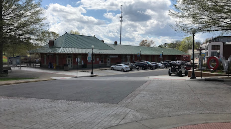
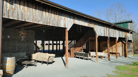
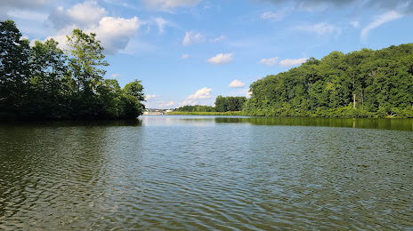
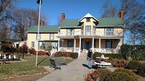
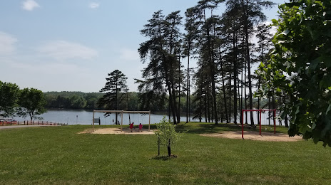
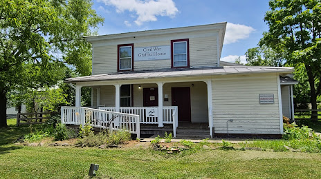
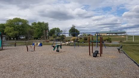
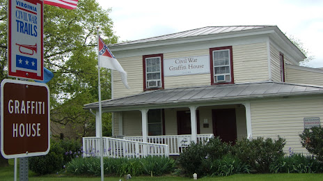
Attractions

Distance to the capital
Distance to the capital (Washington) is about — 96 km.