 Gahanna
Birmingham
Fostoria
Palm Springs
Southern Pines
Edenton
Fayetteville
Wilmington
Colonial Heights
Raleigh
Fort Worth
Milwaukee
Greenville
Morrisville
Wheeling
Cranberry Township
West Mifflin
New Kensington
Ellwood City
Gahanna
Birmingham
Fostoria
Palm Springs
Southern Pines
Edenton
Fayetteville
Wilmington
Colonial Heights
Raleigh
Fort Worth
Milwaukee
Greenville
Morrisville
Wheeling
Cranberry Township
West Mifflin
New Kensington
Ellwood City
Frankfort on the map, United States
Where is located Frankfort
Exact location — Frankfort, Franklin County, Kentucky, United States, marked on the map with a red marker.
Coordinates
Frankfort, United States coordinates in decimal format: latitude — 38.2009055, longitude — -84.8732835. When converted to degrees, minutes, seconds Frankfort has the following coordinates: 38°12′3.26 north latitude and -84°52′23.82 east longitude.
Population
Frankfort, Franklin County, Kentucky, United States, according to our data the population is — 27,051 residents, which is about 0% of the total population of the country (United States).
Comparison of the population on the graph:
Exact time
Time zone for this location Frankfort — UTC -4 America/New_York. Exact time — thursday, 4 april 2024 year, 16 h. 24 minutes.
Sunrise and sunset
Frankfort, sunrise and sunset data for a date — thursday 25.04.2024.
| Sunrise | Sunset | Day (duration) |
|---|---|---|
| 06:52 -1 minute | 20:22 +1 minute | 13 h. 30 minutes. +2 minutes |
You can control the scale of the map using the auxiliary tools to find out exactly where it is located Frankfort. When you change the scale of the map, the width of the ruler also changes (in kilometers and miles).
Nearby cities
The largest cities that are located nearby:
- Louisville — 77 km
- Cincinnati — 104 km
- Indianapolis — 205 km
- Springfield — 211 km
- Evansville — 237 km
- Columbus — 251 km
- Knoxville — 262 km
- Nashville — 282 km
- Clarksville — 288 km
- Fort Wayne — 319 km
- Chattanooga — 351 km
- Toledo — 398 km
- South Bend — 401 km
- Huntsville — 414 km
- Akron — 424 km
- Cleveland — 450 km
- Aurora — 452 km
- Joliet — 453 km
- Ann Arbor — 460 km
Distance to neighboring capitals:
- Ottawa
 (Canada) — 1105 km
 - Belmopan
 (Belize) — 2361 km
 - Mexico City
 (Mexico) — 2501 km
 - Guatemala City
 (Guatemala) — 2682 km
 - Nuuk
 (Greenland) — 3616 km
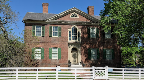
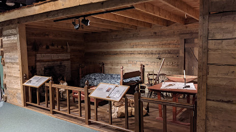
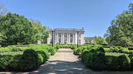
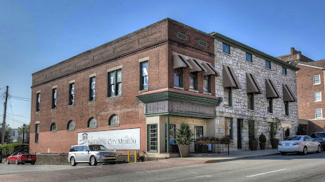
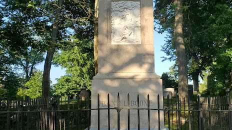
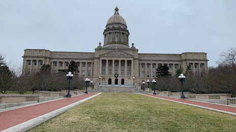
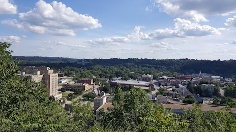
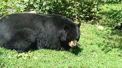
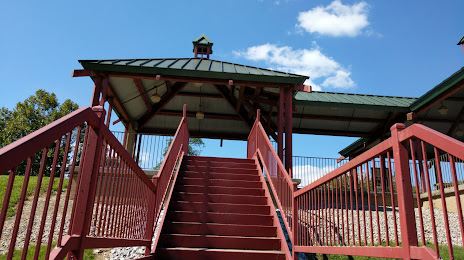
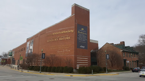
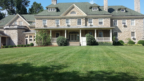
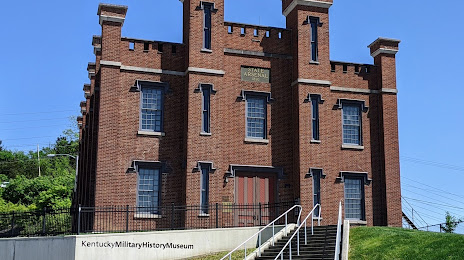
Attractions


Distance to the capital
Distance to the capital (Washington) is about — 686 km.