 Sioux Falls
Livingston
Saint Louis
Fenton
Fairview Heights
Bartlett
Henderson
Cape Girardeau
Columbia
Wilmington
Fayetteville
Edenton
Southern Pines
Palm Springs
Fostoria
Birmingham
Gahanna
Holland
Fuquay Varina
Sioux Falls
Livingston
Saint Louis
Fenton
Fairview Heights
Bartlett
Henderson
Cape Girardeau
Columbia
Wilmington
Fayetteville
Edenton
Southern Pines
Palm Springs
Fostoria
Birmingham
Gahanna
Holland
Fuquay Varina
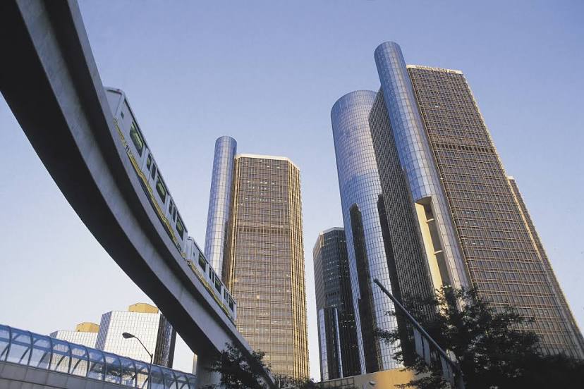
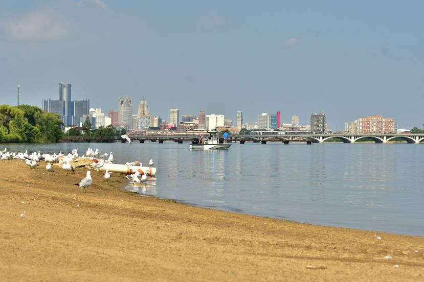
Detroit on the map, United States
Where is located Detroit
Exact location — Detroit, Wayne County, Michigan, United States, marked on the map with a red marker.
Coordinates
Detroit, United States coordinates in decimal format: latitude — 42.331427, longitude — -83.0457538. When converted to degrees, minutes, seconds Detroit has the following coordinates: 42°19′53.14 north latitude and -83°2′44.71 east longitude.
Population
Detroit, Wayne County, Michigan, United States, according to our data the population is — 884,941 residents, which is about 0.3% of the total population of the country (United States).
Comparison of the population on the graph:
Exact time
Time zone for this location Detroit — UTC -4 America/New_York. Exact time — friday, 4 april 2024 year, 23 h. 10 minutes.
Sunrise and sunset
Detroit, sunrise and sunset data for a date — friday 19.04.2024.
| Sunrise | Sunset | Day (duration) |
|---|---|---|
| 06:46 -2 minutes | 20:15 +1 minute | 13 h. 30 minutes. +3 minutes |
You can control the scale of the map using the auxiliary tools to find out exactly where it is located Detroit. When you change the scale of the map, the width of the ruler also changes (in kilometers and miles).
Nearby cities
The largest cities that are located nearby:
- Windsor
 (Canada) — 2 km
 - Warren — 20 km
- Sterling Heights — 28 km
- Ann Arbor — 57 km
- Toledo — 85 km
- Flint — 91 km
- Lansing — 130 km
- Cleveland — 145 km
- London (Canada) — 163 km
- Aurora — 180 km
- Akron — 188 km
- Fort Wayne — 223 km
- Grand Rapids — 223 km
- Waterloo (Canada) — 238 km
- Kitchener (Canada) — 238 km
- Cambridge (Canada) — 247 km
- Guelph (Canada) — 261 km
- Columbus — 262 km
- Springfield — 274 km
Distance to neighboring capitals:
- Ottawa (Canada) — 682 km
- Belmopan
 (Belize) — 2842 km
 - Mexico City
 (Mexico) — 2962 km
 - Nuuk
 (Greenland) — 3136 km
 - Guatemala City
 (Guatemala) — 3166 km
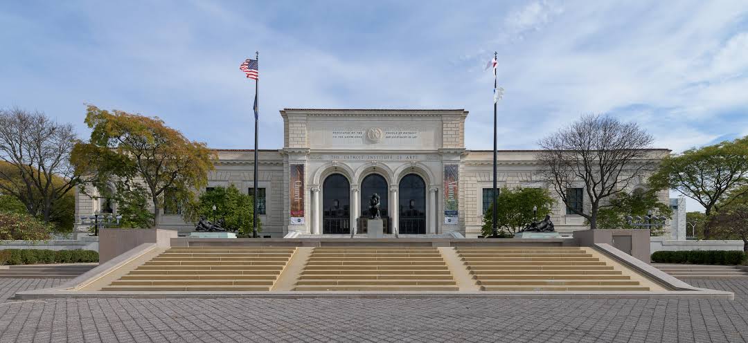
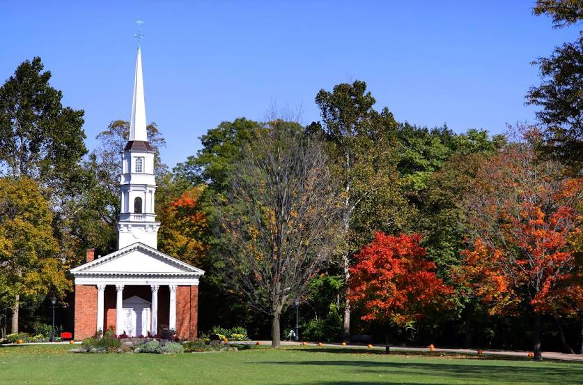
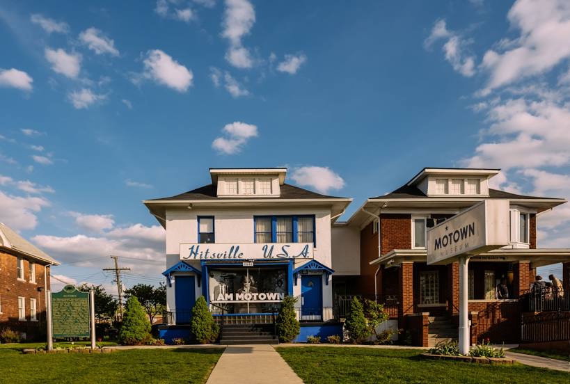
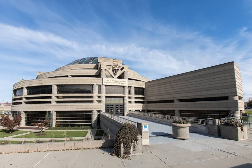
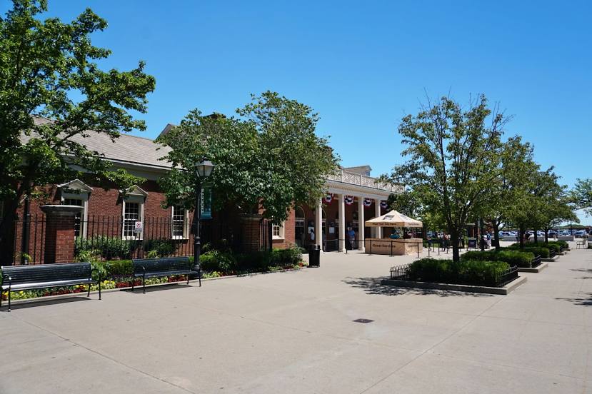
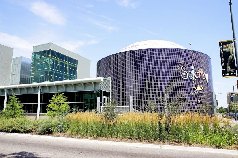
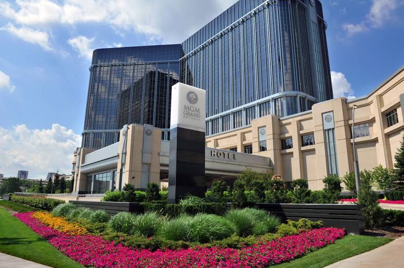
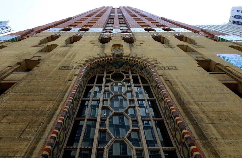
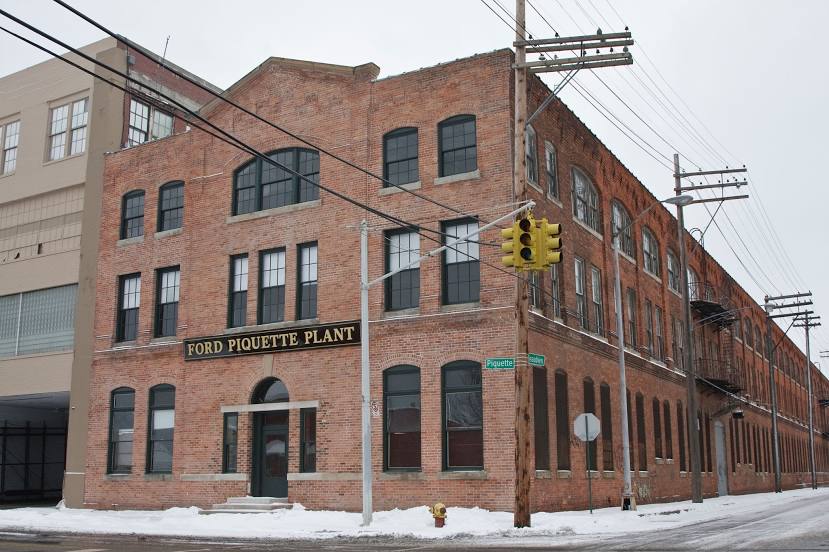
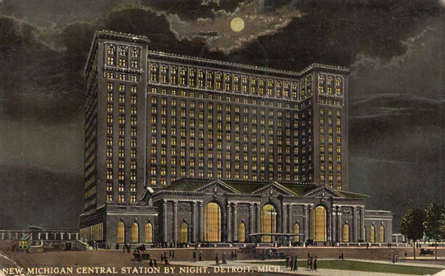
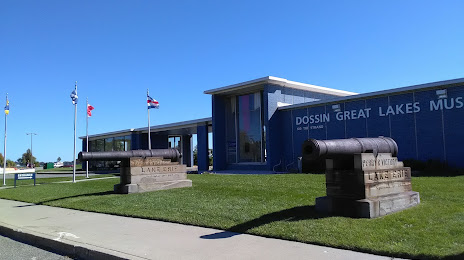
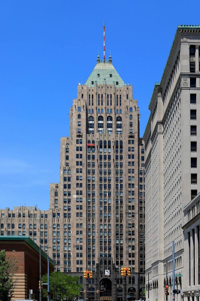
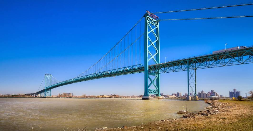
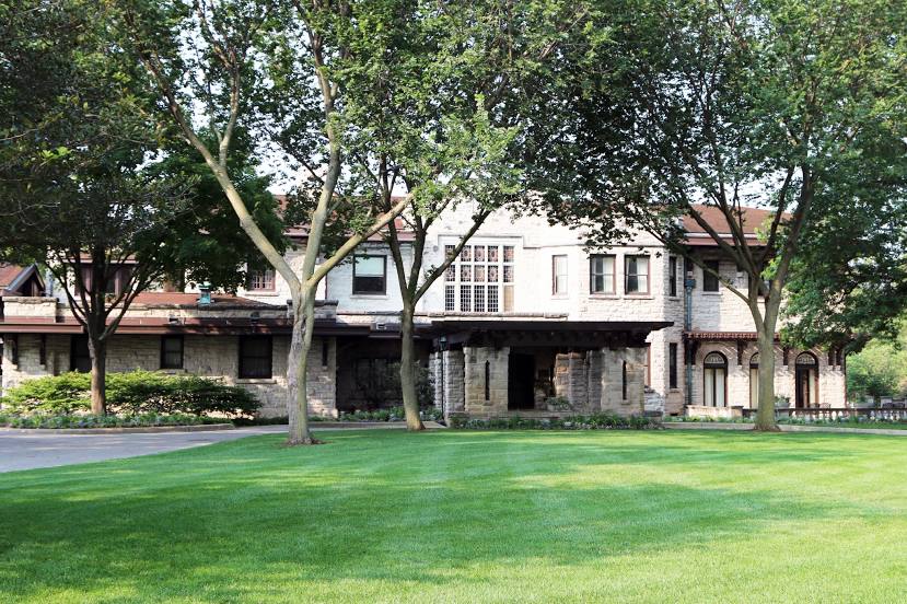
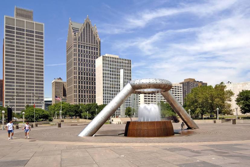
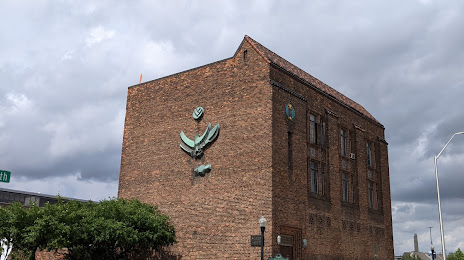
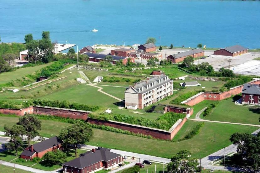
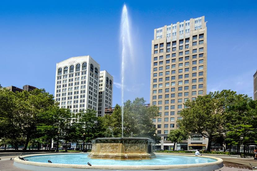
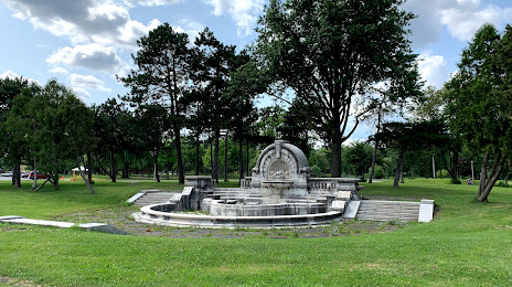
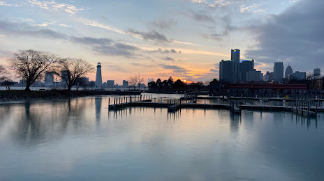
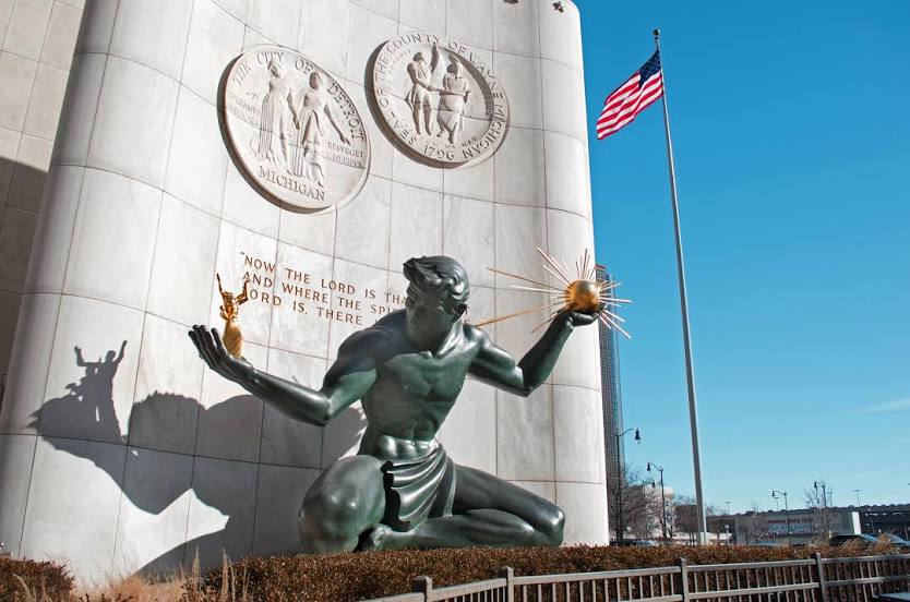
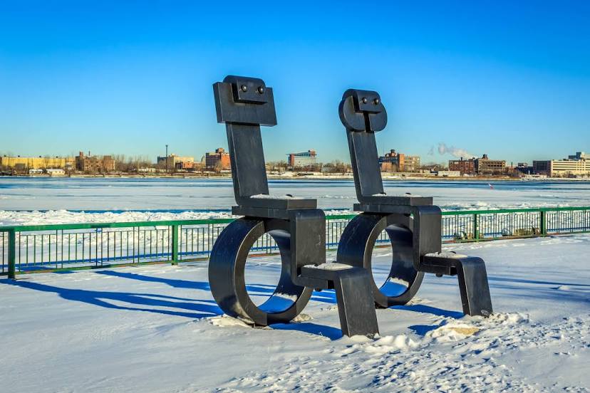
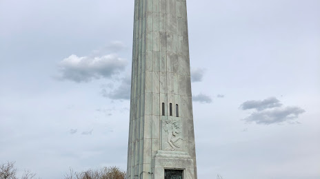
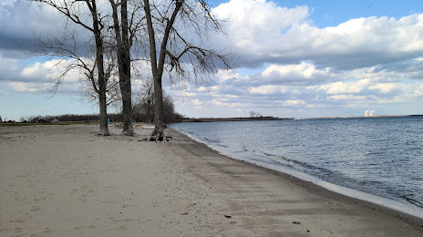
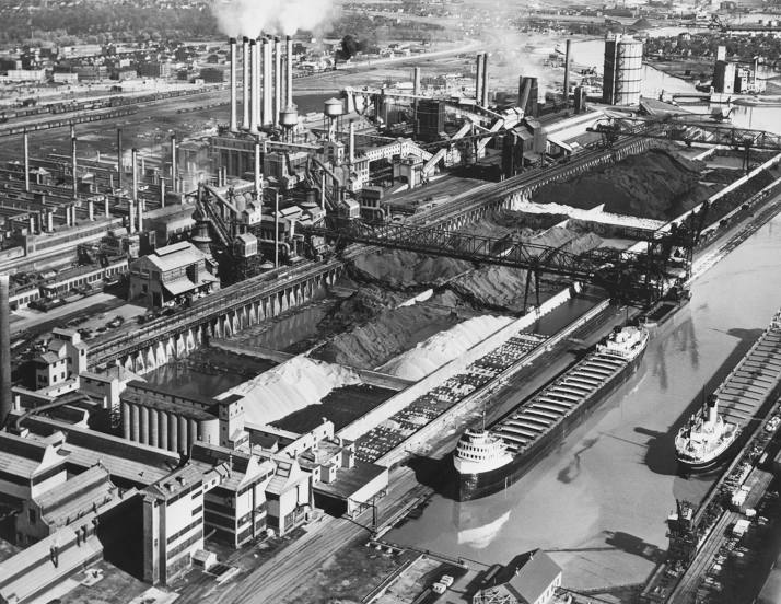
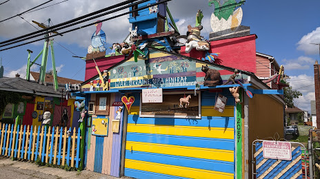
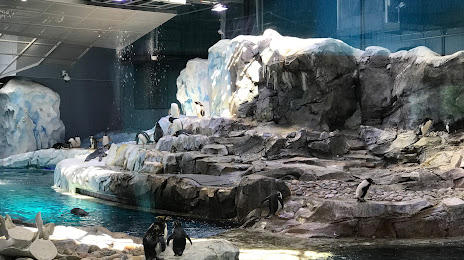
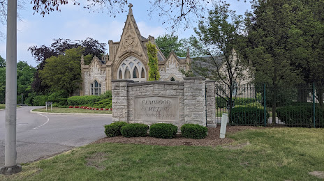
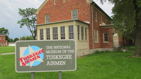
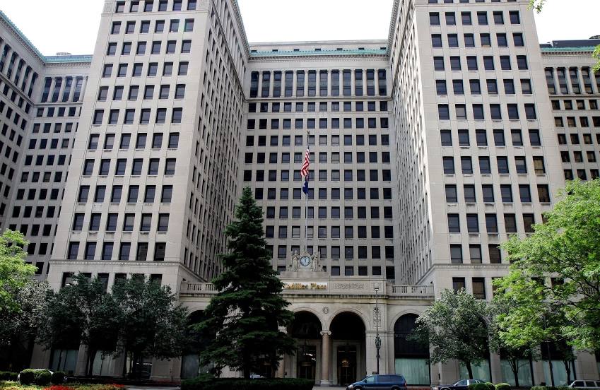
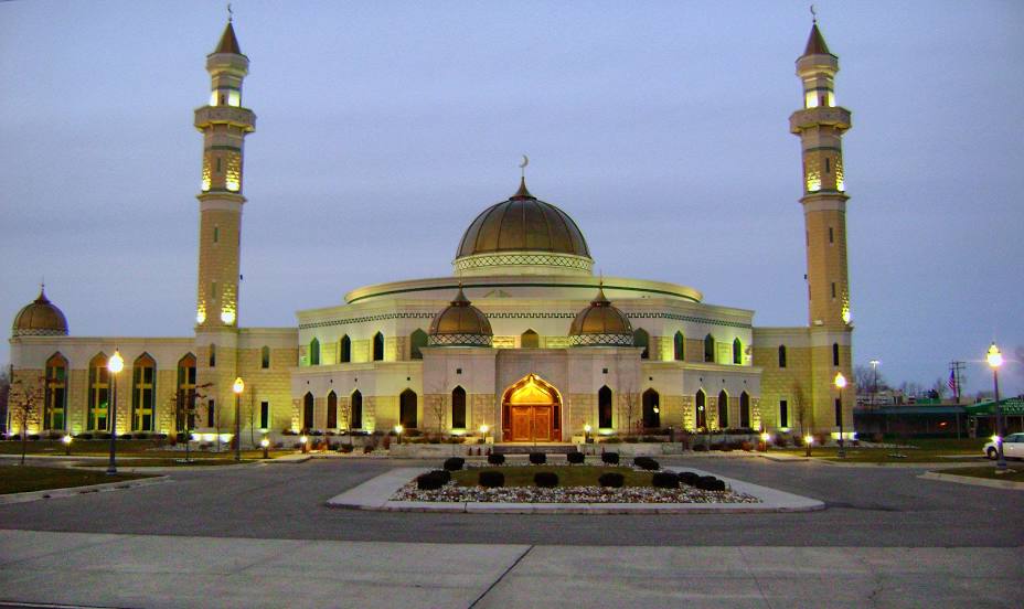
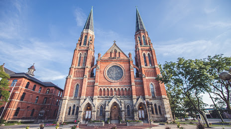
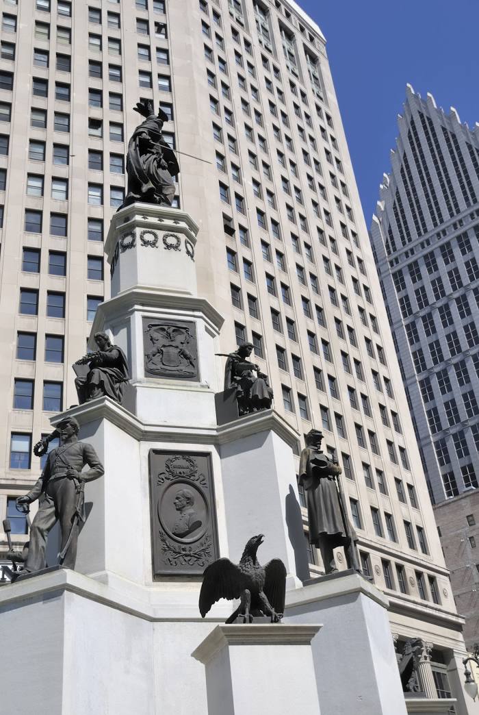
Attractions


Distance to the capital
Distance to the capital (Washington) is about — 634 km.