 Fairview Heights
Bartlett
Henderson
Cape Girardeau
Columbia
Louisville
Poplar Bluff
Columbus
Montgomery
Wakarusa
Newark
Rancho Cucamonga
Colonial Heights
Wilmington
Fayetteville
Edenton
Southern Pines
Palm Springs
Fostoria
Fairview Heights
Bartlett
Henderson
Cape Girardeau
Columbia
Louisville
Poplar Bluff
Columbus
Montgomery
Wakarusa
Newark
Rancho Cucamonga
Colonial Heights
Wilmington
Fayetteville
Edenton
Southern Pines
Palm Springs
Fostoria
Overland Park on the map, United States
Where is located Overland Park
Exact location — Overland Park, Johnson County, Kansas, United States, marked on the map with a red marker.
Coordinates
Overland Park, United States coordinates in decimal format: latitude — 38.9822282, longitude — -94.6707917. When converted to degrees, minutes, seconds Overland Park has the following coordinates: 38°58′56.02 north latitude and -94°40′14.85 east longitude.
Population
Overland Park, Johnson County, Kansas, United States, according to our data the population is — 166,010 residents, which is about 0.1% of the total population of the country (United States).
Comparison of the population on the graph:
Exact time
Time zone for this location Overland Park — UTC -5 America/Chicago. Exact time — wednesday, 4 april 2024 year, 03 h. 33 minutes.
Sunrise and sunset
Overland Park, sunrise and sunset data for a date — wednesday 24.04.2024.
| Sunrise | Sunset | Day (duration) |
|---|---|---|
| 06:31 -1 minute | 20:01 +1 minute | 13 h. 30 minutes. +2 minutes |
You can control the scale of the map using the auxiliary tools to find out exactly where it is located Overland Park. When you change the scale of the map, the width of the ruler also changes (in kilometers and miles).
Nearby cities
The largest cities that are located nearby:
- Kansas City — 15 km
- Olathe — 17 km
- North Kansas City — 20 km
- Independence — 25 km
- Topeka — 88 km
- Springfield — 231 km
- Lincoln — 264 km
- Wichita — 274 km
- Omaha — 274 km
- Des Moines — 303 km
- Tulsa — 334 km
- Saint Louis — 388 km
- Oklahoma City — 465 km
- Peoria — 466 km
- Norman — 485 km
- Little Rock — 516 km
- Sioux Falls — 531 km
- Rockford — 583 km
- Memphis — 595 km
Distance to neighboring capitals:
- Ottawa
 (Canada) — 1714 km
 - Mexico City
 (Mexico) — 2216 km
 - Belmopan
 (Belize) — 2484 km
 - Guatemala City
 (Guatemala) — 2741 km
 - Nuuk
 (Greenland) — 3948 km
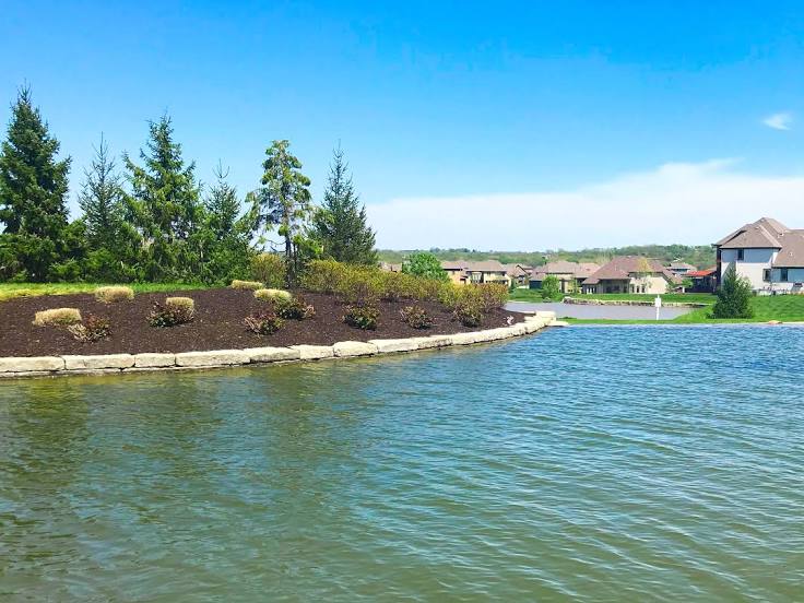
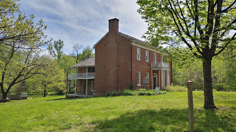
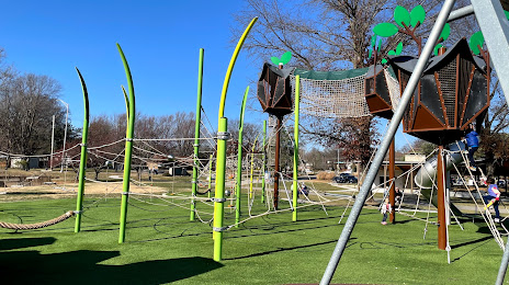
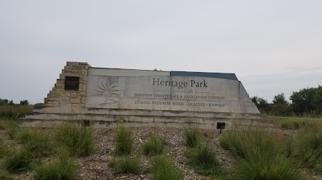
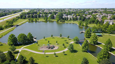
Attractions


Distance to the capital
Distance to the capital (Washington) is about — 1523 km.