 Poplar Bluff
Columbus
Montgomery
Dubuque
Lake Saint Louis
Oklahoma City
Staunton
Maryland Heights
Norwalk
Greenville
Phoenix
Suffern
Vineland
Troy Airport
Duluth
Wakarusa
Newark
Rancho Cucamonga
Colonial Heights
Poplar Bluff
Columbus
Montgomery
Dubuque
Lake Saint Louis
Oklahoma City
Staunton
Maryland Heights
Norwalk
Greenville
Phoenix
Suffern
Vineland
Troy Airport
Duluth
Wakarusa
Newark
Rancho Cucamonga
Colonial Heights
Tacoma on the map, United States
Where is located Tacoma
Exact location — Tacoma, Pierce County, Washington, United States, marked on the map with a red marker.
Coordinates
Tacoma, United States coordinates in decimal format: latitude — 47.2528768, longitude — -122.4442906. When converted to degrees, minutes, seconds Tacoma has the following coordinates: 47°15′10.36 north latitude and -122°26′39.45 east longitude.
Population
Tacoma, Pierce County, Washington, United States, according to our data the population is — 196,957 residents, which is about 0.1% of the total population of the country (United States).
Comparison of the population on the graph:
Exact time
Time zone for this location Tacoma — UTC -7 America/Los_Angeles. Exact time — wednesday, 4 april 2024 year, 15 h. 36 minutes.
Sunrise and sunset
Tacoma, sunrise and sunset data for a date — wednesday 24.04.2024.
| Sunrise | Sunset | Day (duration) |
|---|---|---|
| 06:07 -1 minute | 20:08 +1 minute | 14 h. 0 minutes. +2 minutes |
You can control the scale of the map using the auxiliary tools to find out exactly where it is located Tacoma. When you change the scale of the map, the width of the ruler also changes (in kilometers and miles).
Nearby cities
The largest cities that are located nearby:
- Seattle — 40 km
- Bellevue — 43 km
- Victoria
 (Canada) — 147 km
 - Vancouver — 179 km
- Portland — 192 km
- Abbotsford (Canada) — 199 km
- Delta (Canada) — 208 km
- Surrey (Canada) — 215 km
- Richmond (Canada) — 217 km
- Burnaby (Canada) — 226 km
- Coquitlam (Canada) — 226 km
- Anmore (Canada) — 230 km
- Salem — 260 km
- Eugene — 358 km
- Kelowna (Canada) — 359 km
- Spokane — 376 km
- Boise — 640 km
- Calgary (Canada) — 718 km
- Reno — 883 km
Distance to neighboring capitals:
- Ottawa (Canada) — 3541 km
- Mexico City
 (Mexico) — 3746 km
 - Nuuk
 (Greenland) — 4521 km
 - Belmopan
 (Belize) — 4536 km
 - Guatemala City
 (Guatemala) — 4675 km
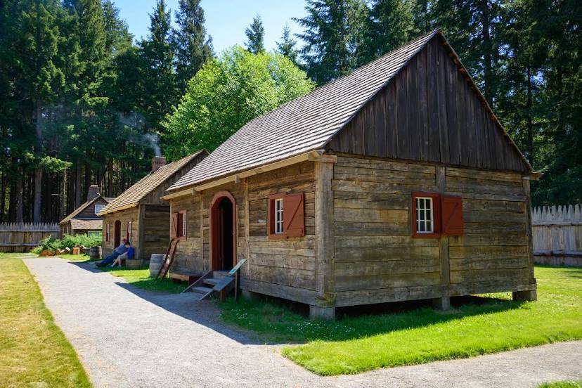
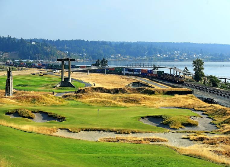
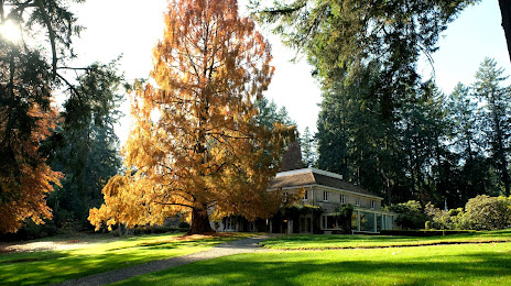
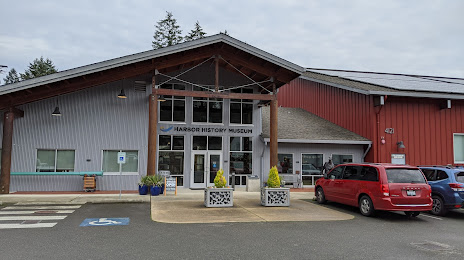
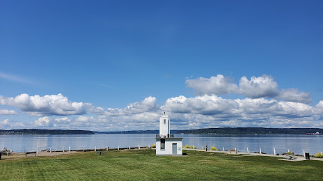
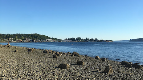
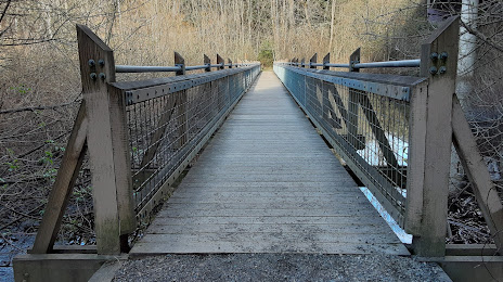
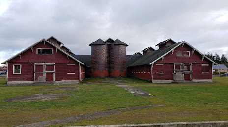
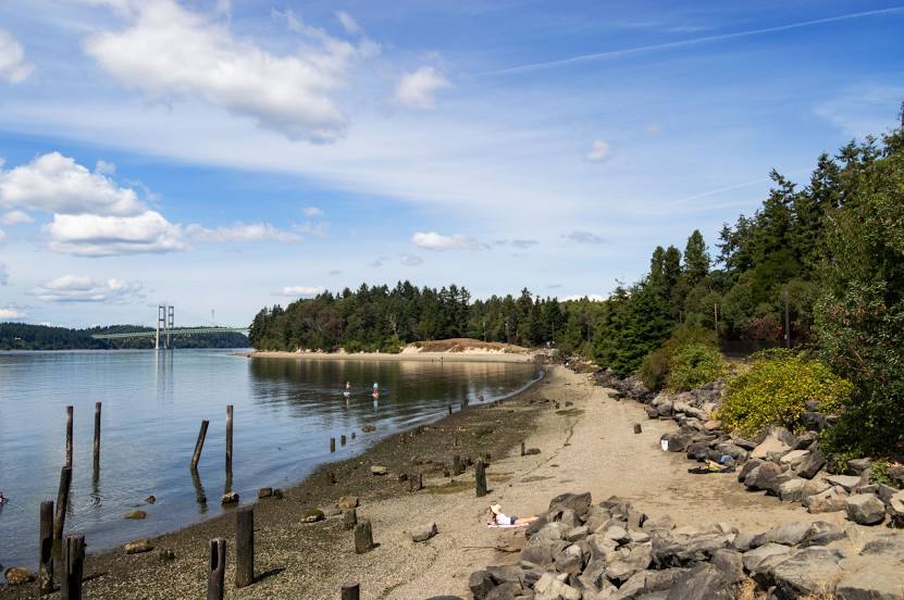
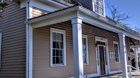
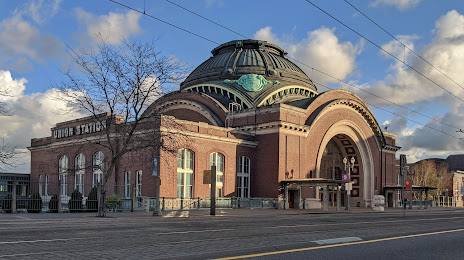
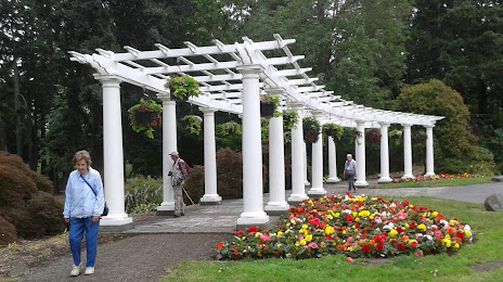
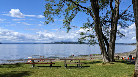
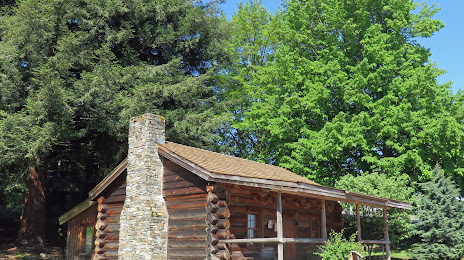
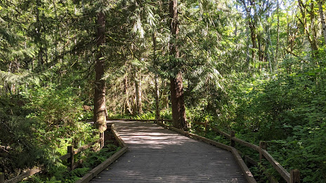
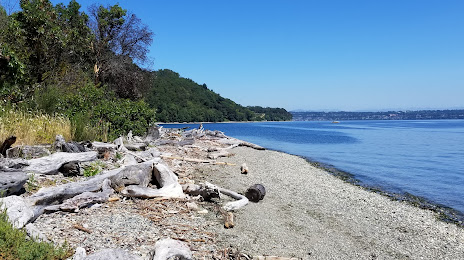
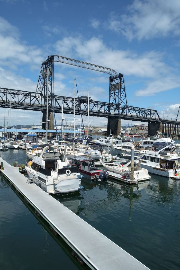
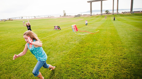
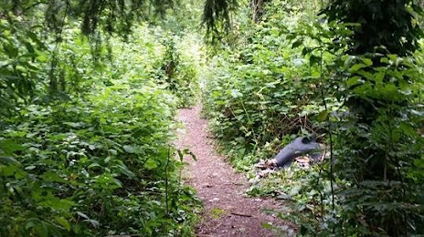
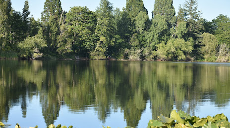
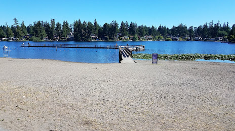
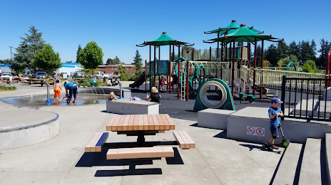
Attractions


Distance to the capital
Distance to the capital (Washington) is about — 3747 km.