 Montgomery
Dubuque
Lake Saint Louis
Oklahoma City
Staunton
Maryland Heights
Norwalk
Andover
Stone Mountain
Toledo
Detroit
Greenville
Phoenix
Suffern
Vineland
Troy Airport
Duluth
Wakarusa
Newark
Montgomery
Dubuque
Lake Saint Louis
Oklahoma City
Staunton
Maryland Heights
Norwalk
Andover
Stone Mountain
Toledo
Detroit
Greenville
Phoenix
Suffern
Vineland
Troy Airport
Duluth
Wakarusa
Newark
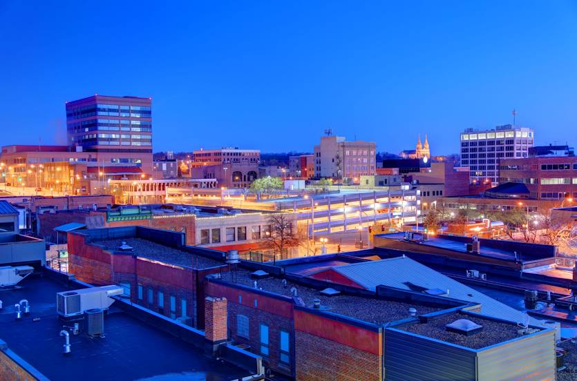
Sioux Falls on the map, United States
Where is located Sioux Falls
Exact location — Sioux Falls, Minnehaha County, South Dakota, United States, marked on the map with a red marker.
Coordinates
Sioux Falls, United States coordinates in decimal format: latitude — 43.5445959, longitude — -96.7311034. When converted to degrees, minutes, seconds Sioux Falls has the following coordinates: 43°32′40.55 north latitude and -96°43′51.97 east longitude.
Population
Sioux Falls, Minnehaha County, South Dakota, United States, according to our data the population is — 140,336 residents, which is about 0% of the total population of the country (United States).
Comparison of the population on the graph:
Exact time
Time zone for this location Sioux Falls — UTC -5 America/Chicago. Exact time — thursday, 4 april 2024 year, 16 h. 19 minutes.
Sunrise and sunset
Sioux Falls, sunrise and sunset data for a date — thursday 25.04.2024.
| Sunrise | Sunset | Day (duration) |
|---|---|---|
| 06:30 -1 minute | 20:19 +1 minute | 13 h. 48 minutes. +2 minutes |
You can control the scale of the map using the auxiliary tools to find out exactly where it is located Sioux Falls. When you change the scale of the map, the width of the ruler also changes (in kilometers and miles).
Nearby cities
The largest cities that are located nearby:
- Omaha — 261 km
- Lincoln — 301 km
- Minneapolis — 314 km
- Saint Paul — 325 km
- Des Moines — 336 km
- Topeka — 504 km
- North Kansas City — 521 km
- Kansas City — 525 km
- Independence — 531 km
- Overland Park — 535 km
- Olathe — 541 km
- Madison — 594 km
- Rockford — 640 km
- Wichita — 650 km
- Peoria — 677 km
- Green Bay — 695 km
- Winnipeg
 (Canada) — 703 km
 - Milwaukee — 715 km
- Aurora — 721 km
Distance to neighboring capitals:
- Ottawa (Canada) — 1677 km
- Mexico City
 (Mexico) — 2691 km
 - Belmopan
 (Belize) — 3019 km
 - Guatemala City
 (Guatemala) — 3271 km
 - Nuuk
 (Greenland) — 3615 km
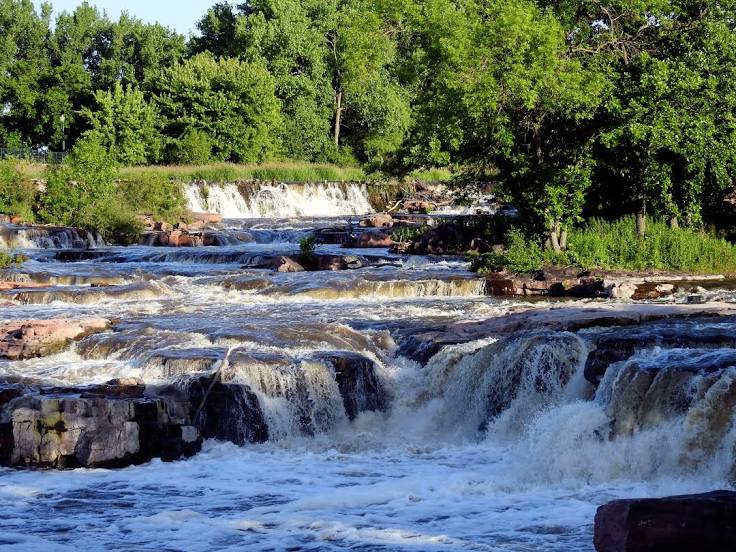
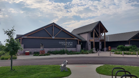
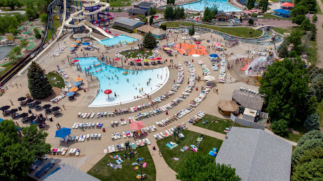
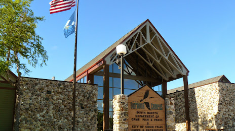
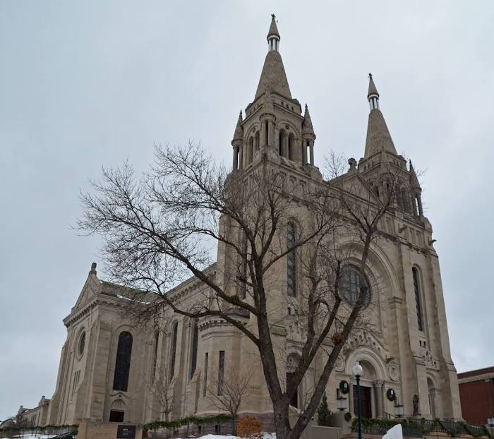
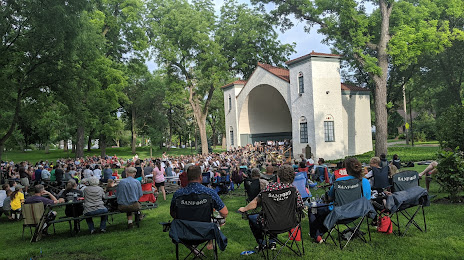
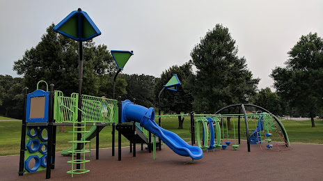
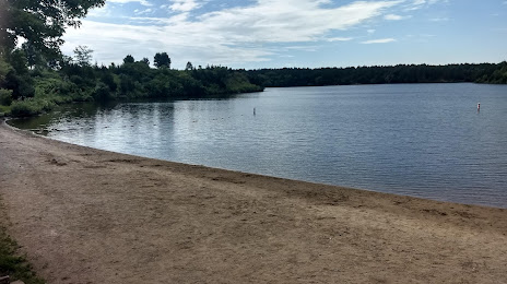
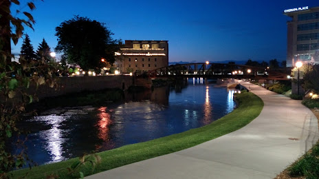
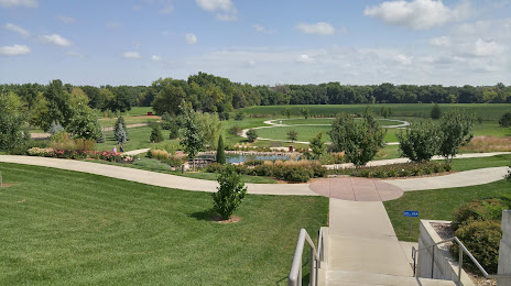
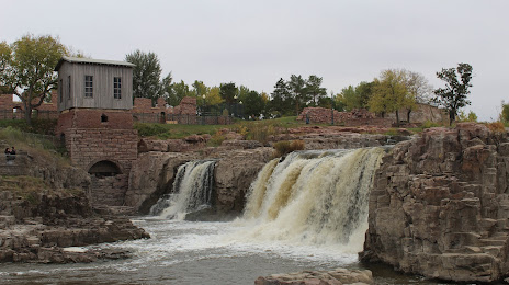
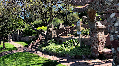
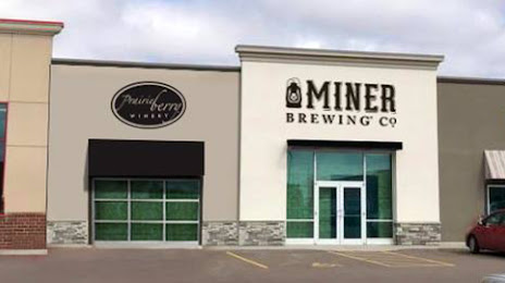
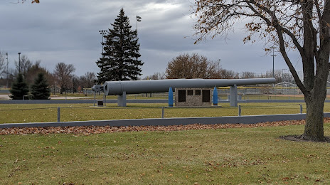
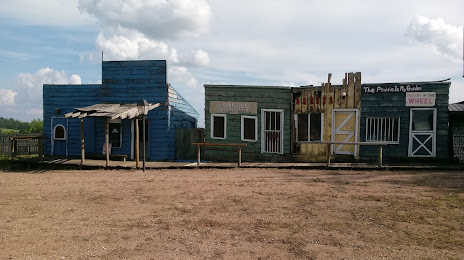
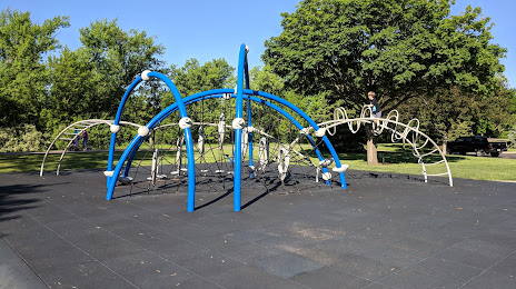
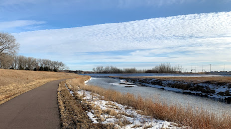
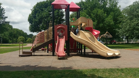
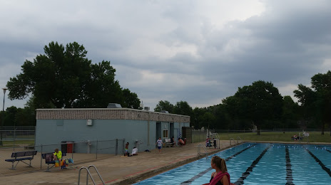
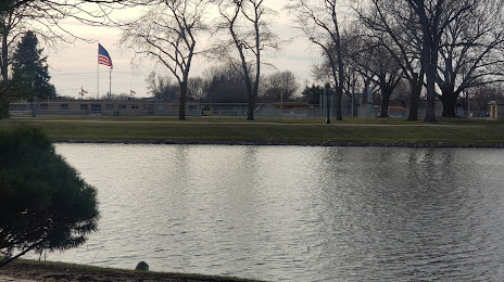
Attractions


Distance to the capital
Distance to the capital (Washington) is about — 1722 km.