 Andover
Stone Mountain
Lenexa
El Centro
Nephi
Clearfield
Alpharetta
Salt Lake City
North Salt Lake
Pineville
Springfield
Hiawatha
Grain Valley
Overland Park
Middlebury
Jasper
Toledo
Detroit
Greenville
Andover
Stone Mountain
Lenexa
El Centro
Nephi
Clearfield
Alpharetta
Salt Lake City
North Salt Lake
Pineville
Springfield
Hiawatha
Grain Valley
Overland Park
Middlebury
Jasper
Toledo
Detroit
Greenville
Cape Girardeau on the map, United States
Where is located Cape Girardeau
Exact location — Cape Girardeau, Cape Girardeau County, Missouri, United States, marked on the map with a red marker.
Coordinates
Cape Girardeau, United States coordinates in decimal format: latitude — 37.3058839, longitude — -89.5181476. When converted to degrees, minutes, seconds Cape Girardeau has the following coordinates: 37°18′21.18 north latitude and -89°31′5.33 east longitude.
Population
Cape Girardeau, Cape Girardeau County, Missouri, United States, according to our data the population is — 35,904 residents, which is about 0% of the total population of the country (United States).
Comparison of the population on the graph:
Exact time
Time zone for this location Cape Girardeau — UTC -5 America/Chicago. Exact time — thursday, 4 april 2024 year, 04 h. 41 minute.
Sunrise and sunset
Cape Girardeau, sunrise and sunset data for a date — thursday 18.04.2024.
| Sunrise | Sunset | Day (duration) |
|---|---|---|
| 06:21 -1 minute | 19:33 +1 minute | 13 h. 12 minutes. +2 minutes |
You can control the scale of the map using the auxiliary tools to find out exactly where it is located Cape Girardeau. When you change the scale of the map, the width of the ruler also changes (in kilometers and miles).
Nearby cities
The largest cities that are located nearby:
- Saint Louis — 157 km
- Evansville — 185 km
- Clarksville — 210 km
- Memphis — 243 km
- Nashville — 275 km
- Springfield — 333 km
- Louisville — 343 km
- Peoria — 375 km
- Little Rock — 379 km
- Huntsville — 390 km
- Indianapolis — 395 km
- Chattanooga — 456 km
- Independence — 464 km
- Cincinnati — 473 km
- Kansas City — 477 km
- North Kansas City — 479 km
- Overland Park — 480 km
- Joliet — 481 km
- Birmingham — 488 km
Distance to neighboring capitals:
- Ottawa
 (Canada) — 1461 km
 - Mexico City
 (Mexico) — 2196 km
 - Belmopan
 (Belize) — 2232 km
 - Guatemala City
 (Guatemala) — 2526 km
 - Nuuk
 (Greenland) — 3890 km
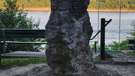
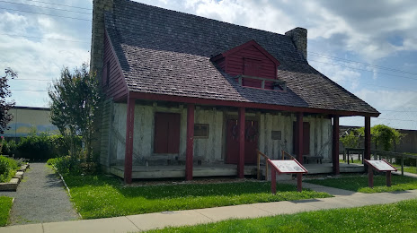
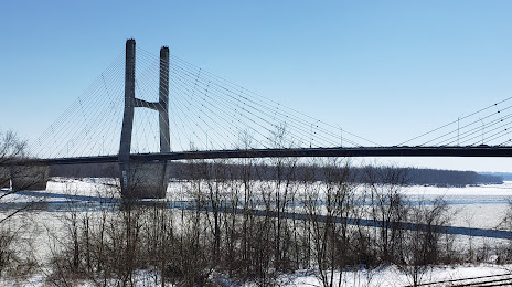
Attractions
Distance to the capital
Distance to the capital (Washington) is about — 1106 km.