 Inglewood
Dulce
Red Bluff
West Palm Beach
Deming
Lovington
Las Cruces
Mocksville
Roswell
Lenexa
Stone Mountain
Andover
Norwalk
Maryland Heights
Staunton
Oklahoma City
Lake Saint Louis
Dubuque
Montgomery
Inglewood
Dulce
Red Bluff
West Palm Beach
Deming
Lovington
Las Cruces
Mocksville
Roswell
Lenexa
Stone Mountain
Andover
Norwalk
Maryland Heights
Staunton
Oklahoma City
Lake Saint Louis
Dubuque
Montgomery
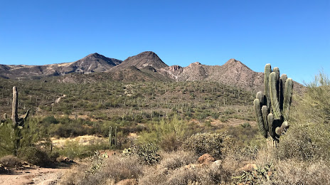
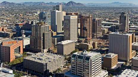
Scottsdale on the map, United States
Where is located Scottsdale
Exact location — Scottsdale, Maricopa County, Arizona, United States, marked on the map with a red marker.
Coordinates
Scottsdale, United States coordinates in decimal format: latitude — 33.4941704, longitude — -111.9260519. When converted to degrees, minutes, seconds Scottsdale has the following coordinates: 33°29′39.01 north latitude and -111°55′33.79 east longitude.
Population
Scottsdale, Maricopa County, Arizona, United States, according to our data the population is — 225,796 residents, which is about 0.1% of the total population of the country (United States).
Comparison of the population on the graph:
Exact time
Time zone for this location Scottsdale — UTC -7 America/Phoenix. Exact time — wednesday, 4 april 2024 year, 07 h. 43 minutes.
Sunrise and sunset
Scottsdale, sunrise and sunset data for a date — wednesday 17.04.2024.
| Sunrise | Sunset | Day (duration) |
|---|---|---|
| 05:56 -1 minute | 18:57 +1 minute | 13 h. 0 minutes. +2 minutes |
You can control the scale of the map using the auxiliary tools to find out exactly where it is located Scottsdale. When you change the scale of the map, the width of the ruler also changes (in kilometers and miles).
Nearby cities
The largest cities that are located nearby:
- Tempe — 8 km
- Mesa — 12 km
- Phoenix — 15 km
- Gilbert — 20 km
- Chandler — 22 km
- Glendale — 24 km
- Peoria — 30 km
- Tucson — 169 km
- Nogales — 256 km
- San Luis Río Colorado
 (Mexico) — 289 km
 - Mexicali (Mexico) — 342 km
- Henderson — 392 km
- Las Vegas — 412 km
- North Las Vegas — 413 km
- Spring Valley — 414 km
- Ensenada (Mexico) — 475 km
- Escondido — 480 km
- Tijuana (Mexico) — 489 km
- Moreno Valley — 489 km
Distance to neighboring capitals:
- Mexico City (Mexico) — 2013 km
- Belmopan
 (Belize) — 2934 km
 - Guatemala City
 (Guatemala) — 3009 km
 - Ottawa
 (Canada) — 3347 km
 - Nuuk
 (Greenland) — 5268 km
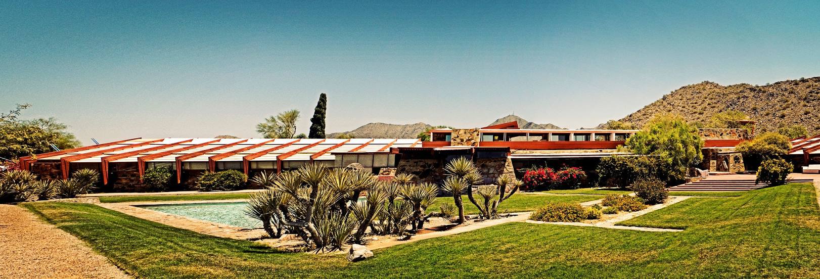
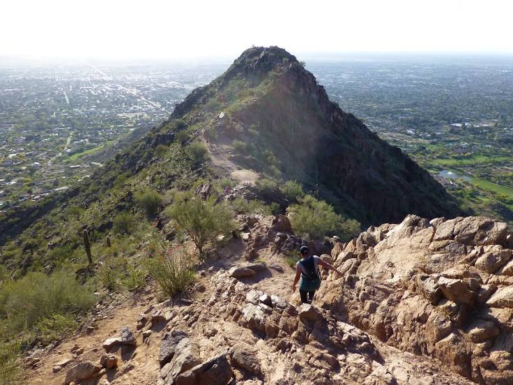
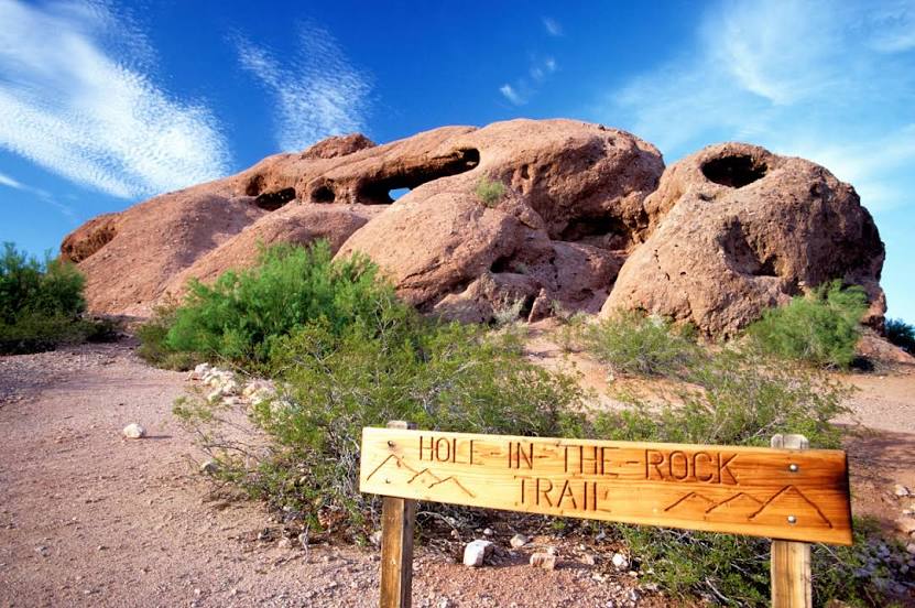
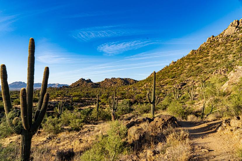
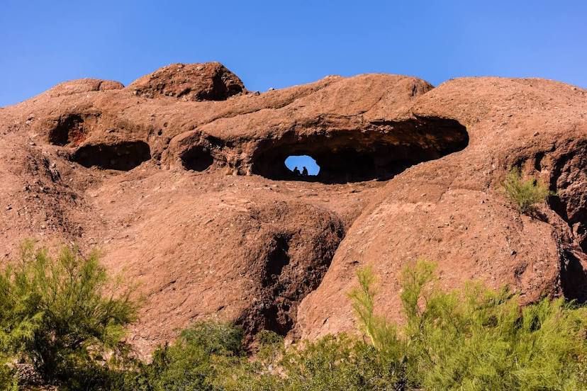
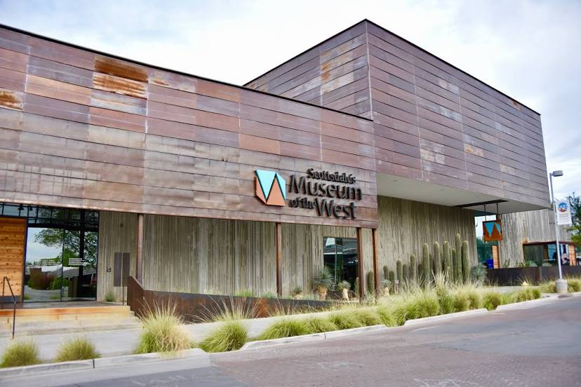
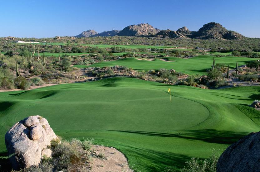
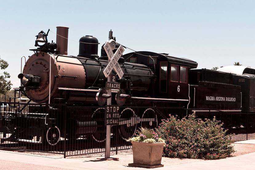
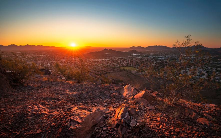
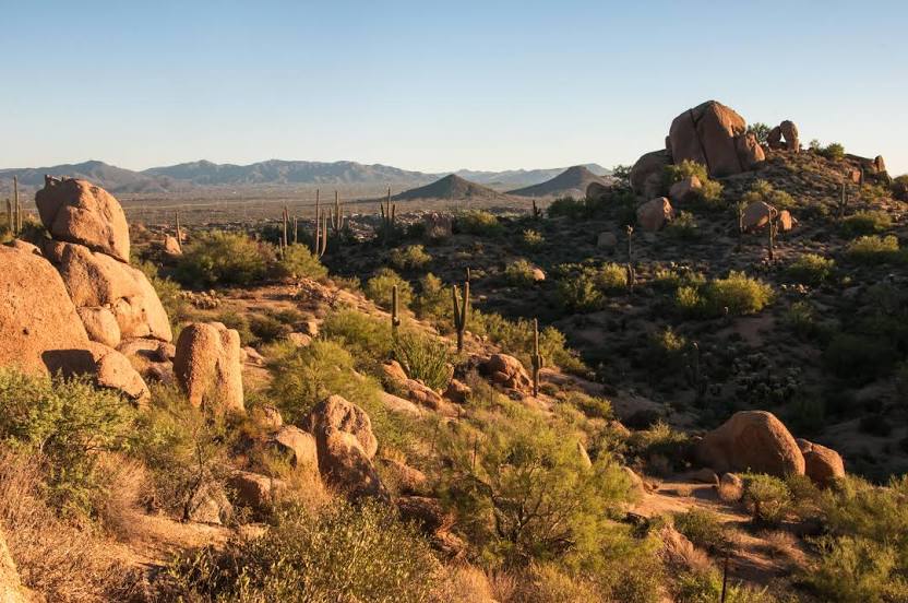
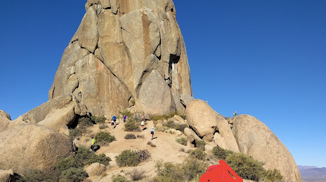
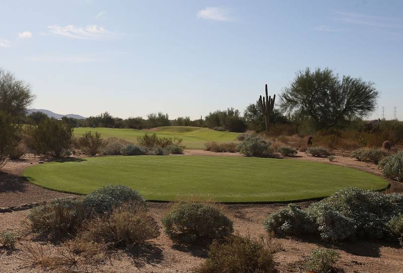
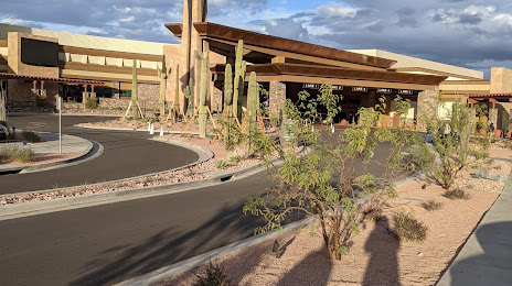
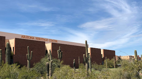
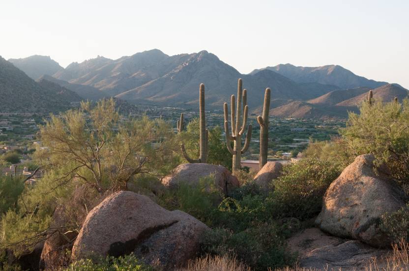
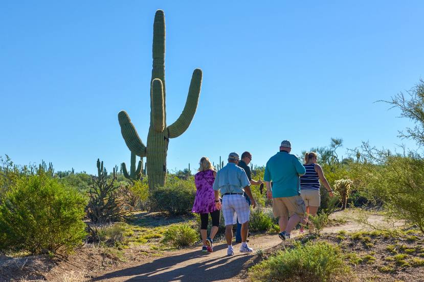
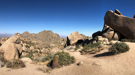
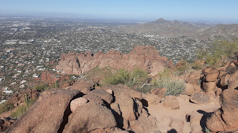
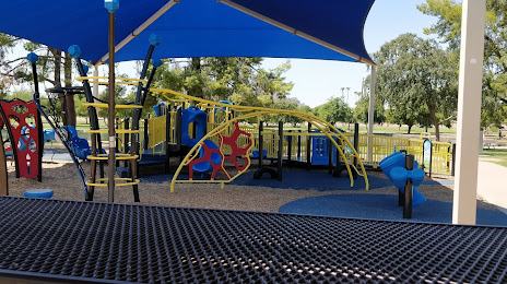
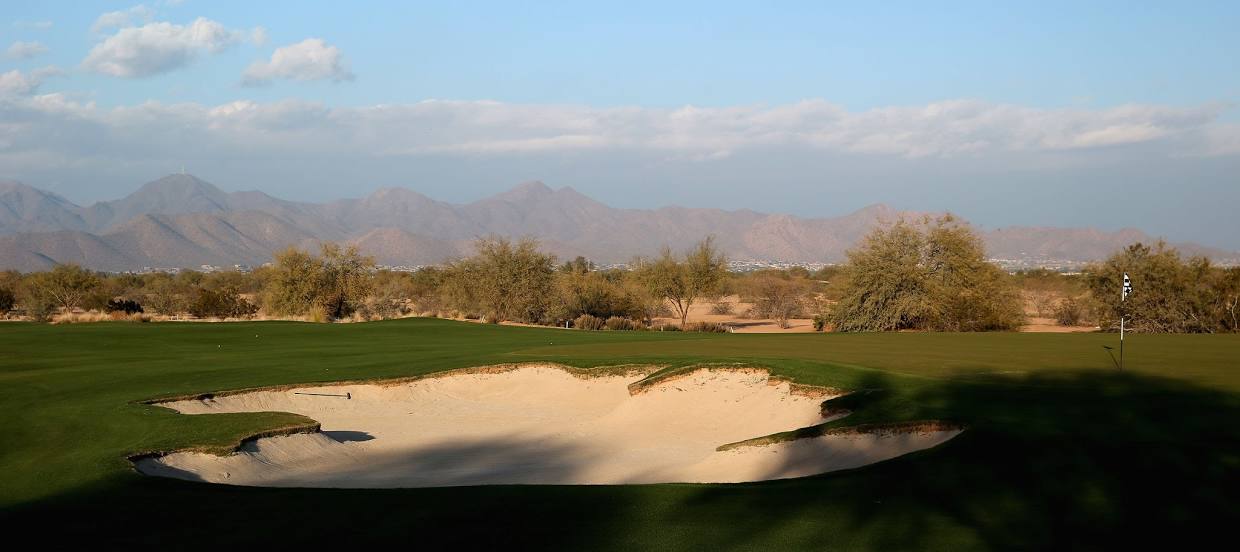
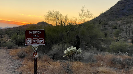
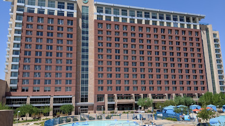
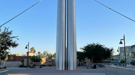
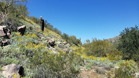
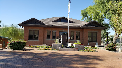
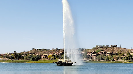
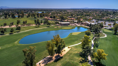
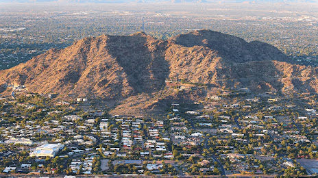
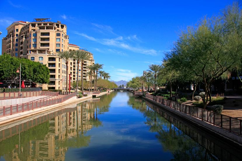
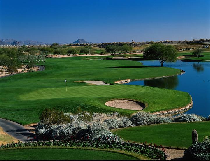
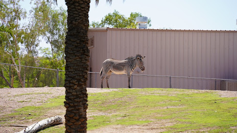
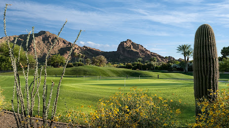
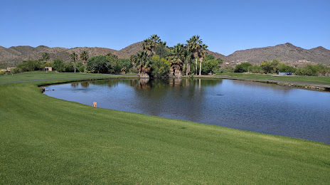
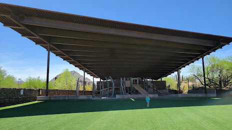
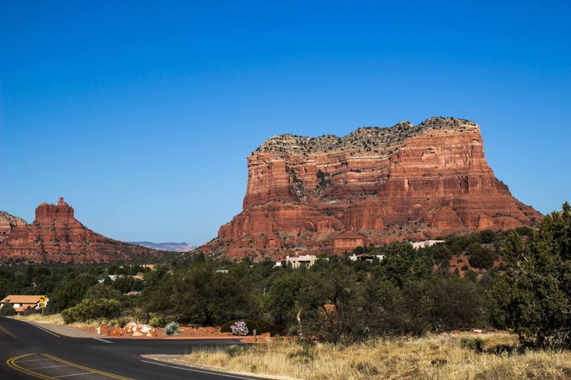
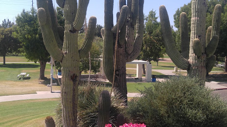
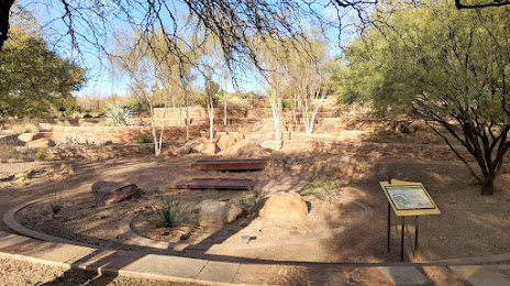
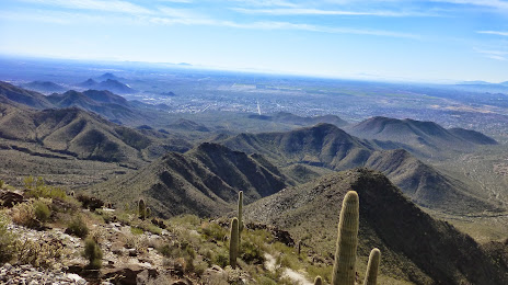
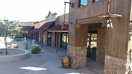
Attractions


Distance to the capital
Distance to the capital (Washington) is about — 3169 km.