 Lovington
Las Cruces
Mocksville
Roswell
Kansas City
Elk Grove
Merced
Orlando
Carlsbad
Salt Lake City
Alpharetta
Clearfield
Nephi
El Centro
Lenexa
Stone Mountain
Andover
Norwalk
Maryland Heights
Lovington
Las Cruces
Mocksville
Roswell
Kansas City
Elk Grove
Merced
Orlando
Carlsbad
Salt Lake City
Alpharetta
Clearfield
Nephi
El Centro
Lenexa
Stone Mountain
Andover
Norwalk
Maryland Heights
Norfolk on the map, United States
Where is located Norfolk
Exact location — Norfolk, Virginia, United States, marked on the map with a red marker.
Coordinates
Norfolk, United States coordinates in decimal format: latitude — 36.8507689, longitude — -76.2858726. When converted to degrees, minutes, seconds Norfolk has the following coordinates: 36°51′2.77 north latitude and -76°17′9.14 east longitude.
Population
Norfolk, Virginia, United States, according to our data the population is — 246,216 residents, which is about 0.1% of the total population of the country (United States).
Comparison of the population on the graph:
Exact time
Time zone for this location Norfolk — UTC -4 America/New_York. Exact time — saturday, 4 april 2024 year, 06 h. 10 minutes.
Sunrise and sunset
Norfolk, sunrise and sunset data for a date — saturday 20.04.2024.
| Sunrise | Sunset | Day (duration) |
|---|---|---|
| 06:26 -1 minute | 19:41 +1 minute | 13 h. 18 minutes. +2 minutes |
You can control the scale of the map using the auxiliary tools to find out exactly where it is located Norfolk. When you change the scale of the map, the width of the ruler also changes (in kilometers and miles).
Nearby cities
The largest cities that are located nearby:
- Chesapeake — 9 km
- Hampton — 20 km
- Virginia Beach — 27 km
- Richmond — 126 km
- Alexandria — 226 km
- Raleigh — 242 km
- Durham — 252 km
- Cary — 253 km
- Baltimore — 271 km
- Fayetteville — 308 km
- Greensboro — 325 km
- Philadelphia — 356 km
- Winston-Salem — 363 km
- Toms River — 386 km
- Allentown — 421 km
- Edison — 435 km
- Charlotte — 449 km
- Elizabeth — 456 km
- Newark — 465 km
Distance to neighboring capitals:
- Ottawa
 (Canada) — 955 km
 - Belmopan
 (Belize) — 2501 km
 - Guatemala City
 (Guatemala) — 2848 km
 - Mexico City
 (Mexico) — 2947 km
 - Nuuk
 (Greenland) — 3451 km
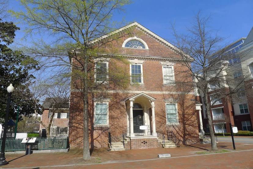
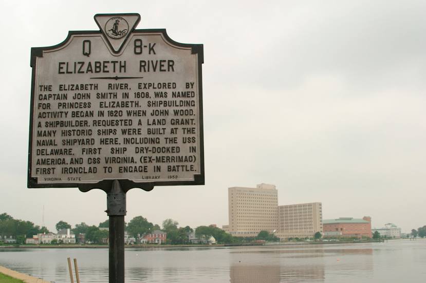
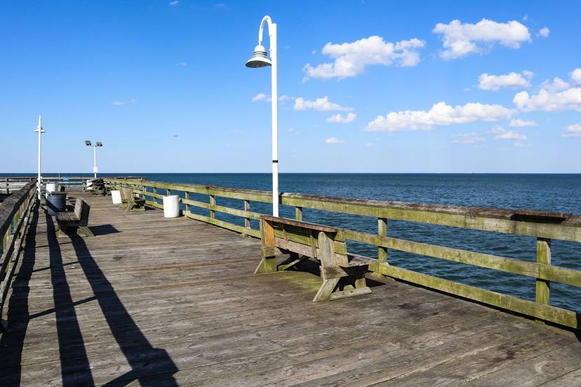
Attractions


Distance to the capital
Distance to the capital (Washington) is about — 238 km.