 Livonia
Skokie
Fort Collins
Grand Rapids
Lincoln
Kearney
North Sioux City
Mount Laurel
Bentonville
El Paso
Columbia
East Brunswick
Albuquerque
Santa Fe
Norfolk
Winnebago
Palmer Lake
Englewood
Woodland Park
Livonia
Skokie
Fort Collins
Grand Rapids
Lincoln
Kearney
North Sioux City
Mount Laurel
Bentonville
El Paso
Columbia
East Brunswick
Albuquerque
Santa Fe
Norfolk
Winnebago
Palmer Lake
Englewood
Woodland Park
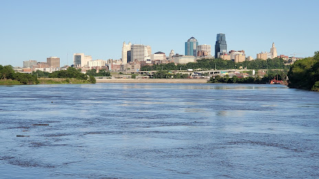
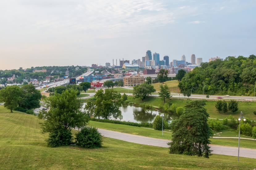
Kansas City on the map, United States
Where is located Kansas City
Exact location — Kansas City, Jackson County, Missouri, United States, marked on the map with a red marker.
Coordinates
Kansas City, United States coordinates in decimal format: latitude — 39.0997265, longitude — -94.5785667. When converted to degrees, minutes, seconds Kansas City has the following coordinates: 39°5′59.02 north latitude and -94°34′42.84 east longitude.
Population
Kansas City, Jackson County, Missouri, United States, according to our data the population is — 442,028 residents, which is about 0.1% of the total population of the country (United States).
Comparison of the population on the graph:
Exact time
Time zone for this location Kansas City — UTC -5 America/Chicago. Exact time — thursday, 4 april 2024 year, 12 h. 14 minutes.
Sunrise and sunset
Kansas City, sunrise and sunset data for a date — thursday 25.04.2024.
| Sunrise | Sunset | Day (duration) |
|---|---|---|
| 06:29 -1 minute | 20:02 +1 minute | 13 h. 36 minutes. +2 minutes |
You can control the scale of the map using the auxiliary tools to find out exactly where it is located Kansas City. When you change the scale of the map, the width of the ruler also changes (in kilometers and miles).
Nearby cities
The largest cities that are located nearby:
- North Kansas City — 5 km
- Independence — 14 km
- Overland Park — 15 km
- Olathe — 32 km
- Topeka — 95 km
- Springfield — 238 km
- Lincoln — 260 km
- Omaha — 266 km
- Wichita — 287 km
- Des Moines — 288 km
- Tulsa — 349 km
- Saint Louis — 382 km
- Peoria — 454 km
- Oklahoma City — 481 km
- Norman — 501 km
- Sioux Falls — 521 km
- Little Rock — 524 km
- Rockford — 569 km
- Aurora — 594 km
Distance to neighboring capitals:
- Ottawa
 (Canada) — 1701 km
 - Mexico City
 (Mexico) — 2231 km
 - Belmopan
 (Belize) — 2495 km
 - Guatemala City
 (Guatemala) — 2752 km
 - Nuuk
 (Greenland) — 3932 km
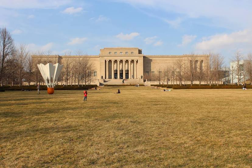
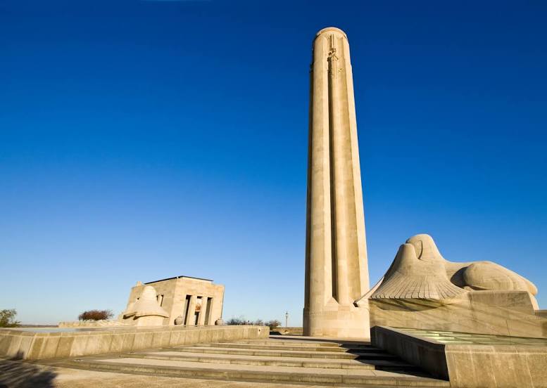
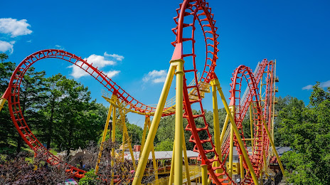
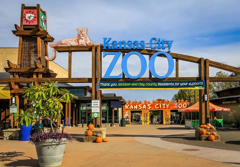
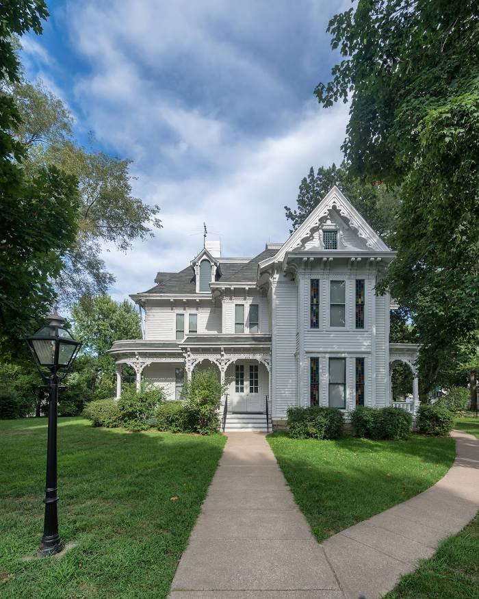
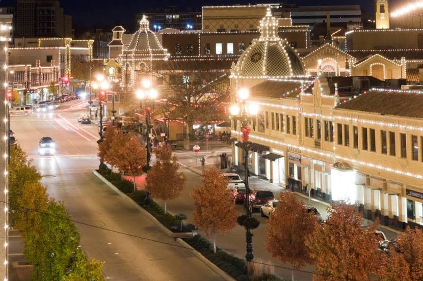
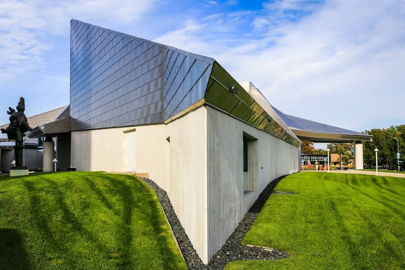
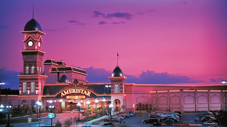
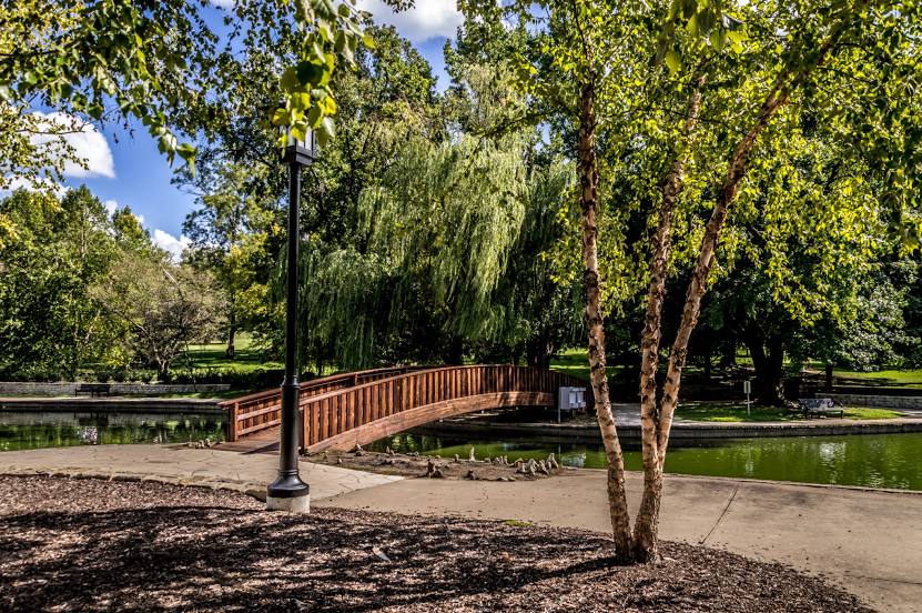
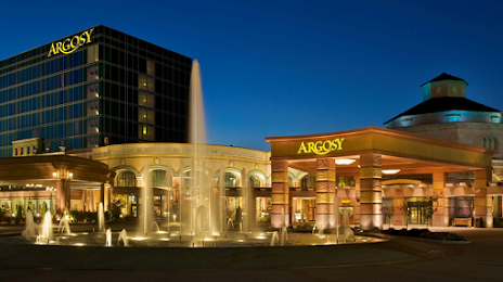
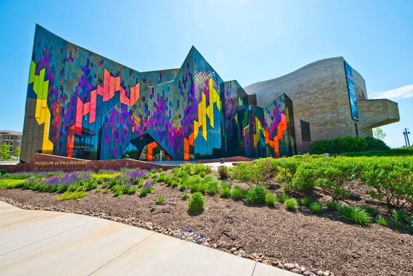
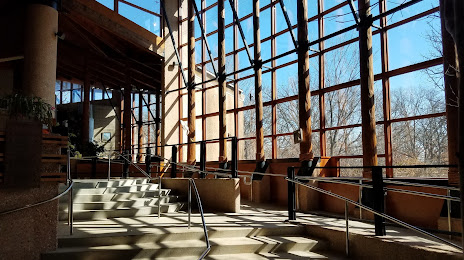
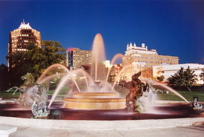
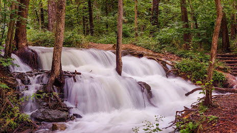
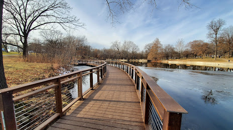
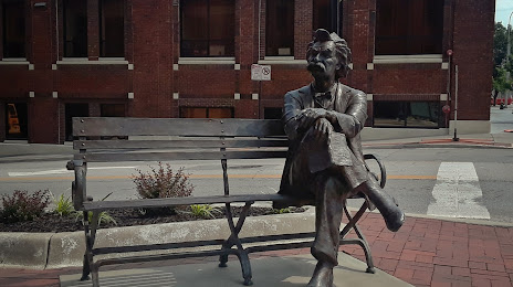
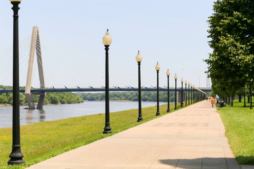
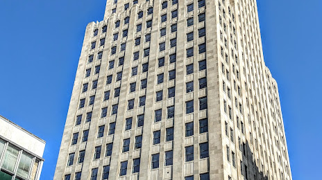
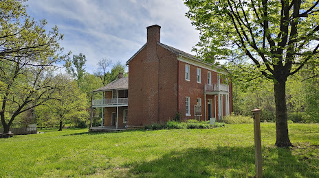
Attractions


Distance to the capital
Distance to the capital (Washington) is about — 1514 km.