 Fort Collins
Grand Rapids
Lincoln
Kearney
North Sioux City
Mount Laurel
Bentonville
Gainesville
Clare
Inglewood
Española
El Paso
Columbia
East Brunswick
Albuquerque
Santa Fe
Norfolk
Winnebago
Palmer Lake
Fort Collins
Grand Rapids
Lincoln
Kearney
North Sioux City
Mount Laurel
Bentonville
Gainesville
Clare
Inglewood
Española
El Paso
Columbia
East Brunswick
Albuquerque
Santa Fe
Norfolk
Winnebago
Palmer Lake
Merced on the map, United States
Where is located Merced
Exact location — Merced, Merced County, California, United States, marked on the map with a red marker.
Coordinates
Merced, United States coordinates in decimal format: latitude — 37.3021632, longitude — -120.4829677. When converted to degrees, minutes, seconds Merced has the following coordinates: 37°18′7.79 north latitude and -120°28′58.68 east longitude.
Population
Merced, Merced County, California, United States, according to our data the population is — 72,619 residents, which is about 0% of the total population of the country (United States).
Comparison of the population on the graph:
Exact time
Time zone for this location Merced — UTC -7 America/Los_Angeles. Exact time — wednesday, 4 april 2024 year, 07 h. 07 minutes.
Sunrise and sunset
Merced, sunrise and sunset data for a date — wednesday 17.04.2024.
| Sunrise | Sunset | Day (duration) |
|---|---|---|
| 06:26 -1 minute | 19:36 +1 minute | 13 h. 12 minutes. +2 minutes |
You can control the scale of the map using the auxiliary tools to find out exactly where it is located Merced. When you change the scale of the map, the width of the ruler also changes (in kilometers and miles).
Nearby cities
The largest cities that are located nearby:
- Modesto — 58 km
- Fresno — 88 km
- Stockton — 101 km
- San Jose — 123 km
- Salinas — 125 km
- Santa Clara — 130 km
- Fremont — 135 km
- Sunnyvale — 137 km
- Hayward — 146 km
- Visalia — 151 km
- Concord — 154 km
- Oakland — 166 km
- Sacramento — 166 km
- Berkeley — 168 km
- Fairfield — 171 km
- Roseville — 175 km
- Richmond — 177 km
- San Francisco — 177 km
- Vallejo — 178 km
Distance to neighboring capitals:
- Mexico City
 (Mexico) — 2870 km
 - Ottawa
 (Canada) — 3794 km
 - Belmopan
 (Belize) — 3817 km
 - Guatemala City
 (Guatemala) — 3885 km
 - Nuuk
 (Greenland) — 5322 km
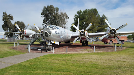
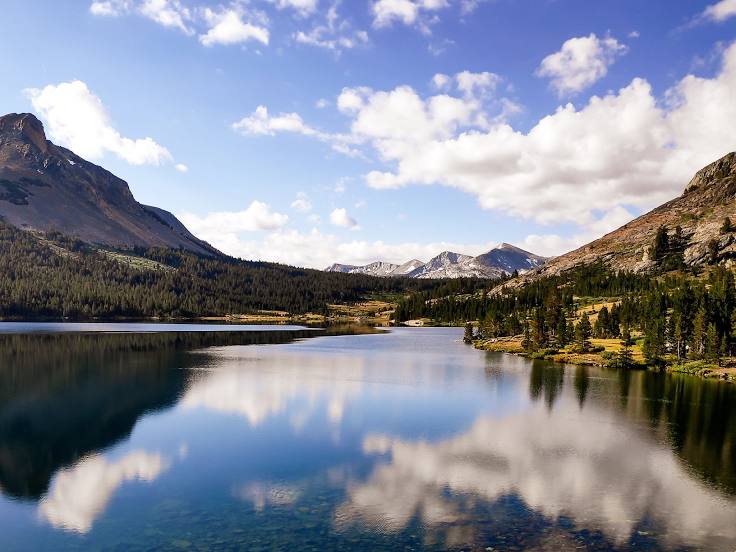
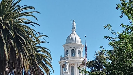
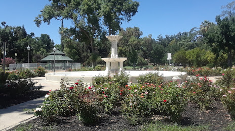
Attractions

Distance to the capital
Distance to the capital (Washington) is about — 3771 km.