 Mount Laurel
Bentonville
Gainesville
Clare
Cape Coral
California
O'Neill
Elkwood
Deadwood
Lovington
Deming
West Palm Beach
Red Bluff
Dulce
Inglewood
Española
El Paso
Columbia
East Brunswick
Mount Laurel
Bentonville
Gainesville
Clare
Cape Coral
California
O'Neill
Elkwood
Deadwood
Lovington
Deming
West Palm Beach
Red Bluff
Dulce
Inglewood
Española
El Paso
Columbia
East Brunswick
Hobbs on the map, United States
Where is located Hobbs
Exact location — Hobbs, Lea County, New Mexico, United States, marked on the map with a red marker.
Coordinates
Hobbs, United States coordinates in decimal format: latitude — 32.7026116, longitude — -103.1360403. When converted to degrees, minutes, seconds Hobbs has the following coordinates: 32°42′9.4 north latitude and -103°8′9.75 east longitude.
Population
Hobbs, Lea County, New Mexico, United States, according to our data the population is — 28,013 residents, which is about 0% of the total population of the country (United States).
Comparison of the population on the graph:
Exact time
Time zone for this location Hobbs — UTC -6 America/Denver. Exact time — wednesday, 4 april 2024 year, 20 h. 21 minute.
Sunrise and sunset
Hobbs, sunrise and sunset data for a date — wednesday 24.04.2024.
| Sunrise | Sunset | Day (duration) |
|---|---|---|
| 06:14 -1 minute | 19:26 +1 minute | 13 h. 12 minutes. +2 minutes |
You can control the scale of the map using the auxiliary tools to find out exactly where it is located Hobbs. When you change the scale of the map, the width of the ruler also changes (in kilometers and miles).
Nearby cities
The largest cities that are located nearby:
- Lubbock — 153 km
- Amarillo — 302 km
- Abilene — 319 km
- El Paso — 327 km
- Ciudad Juarez
 (Mexico) — 329 km
 - Valencia — 398 km
- Albuquerque — 410 km
- Ciudad Acuna (Mexico) — 429 km
- Wichita Falls — 447 km
- Piedras Negras (Mexico) — 510 km
- Chihuahua (Mexico) — 532 km
- Fort Worth — 540 km
- Killeen — 541 km
- Delicias (Mexico) — 548 km
- Denton — 558 km
- Arlington — 561 km
- Grand Prairie — 571 km
- Irving — 575 km
- San Antonio — 576 km
Distance to neighboring capitals:
- Mexico City (Mexico) — 1529 km
- Belmopan
 (Belize) — 2243 km
 - Guatemala City
 (Guatemala) — 2382 km
 - Ottawa
 (Canada) — 2739 km
 - Nuuk
 (Greenland) — 4933 km
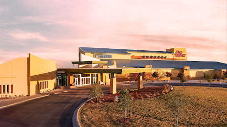
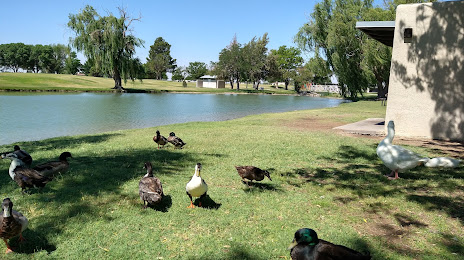
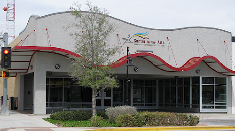
Attractions

Distance to the capital
Distance to the capital (Washington) is about — 2444 km.