 Bentonville
Gainesville
Clare
Cape Coral
California
O'Neill
Elkwood
Deadwood
Tulsa
Las Cruces
Lovington
Deming
West Palm Beach
Red Bluff
Dulce
Inglewood
Española
El Paso
Columbia
Bentonville
Gainesville
Clare
Cape Coral
California
O'Neill
Elkwood
Deadwood
Tulsa
Las Cruces
Lovington
Deming
West Palm Beach
Red Bluff
Dulce
Inglewood
Española
El Paso
Columbia
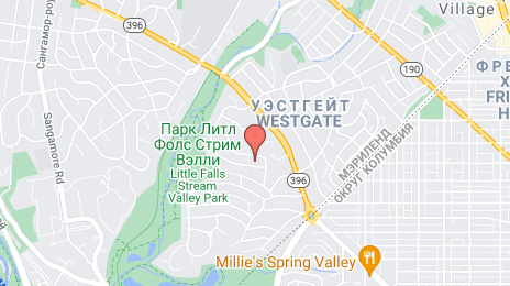
Bethesda on the map, United States
Where is located Bethesda
Exact location — Bethesda, Montgomery County, Maryland, United States, marked on the map with a red marker.
Coordinates
Bethesda, United States coordinates in decimal format: latitude — 38.984652, longitude — -77.0947092. When converted to degrees, minutes, seconds Bethesda has the following coordinates: 38°59′4.75 north latitude and -77°5′40.95 east longitude.
Population
Bethesda, Montgomery County, Maryland, United States, according to our data the population is — 52,801 residents, which is about 0% of the total population of the country (United States).
Comparison of the population on the graph:
Exact time
Time zone for this location Bethesda — UTC -4 America/New_York. Exact time — wednesday, 4 april 2024 year, 13 h. 29 minutes.
Sunrise and sunset
Bethesda, sunrise and sunset data for a date — wednesday 17.04.2024.
| Sunrise | Sunset | Day (duration) |
|---|---|---|
| 06:30 -2 minutes | 19:44 +1 minute | 13 h. 12 minutes. +3 minutes |
You can control the scale of the map using the auxiliary tools to find out exactly where it is located Bethesda. When you change the scale of the map, the width of the ruler also changes (in kilometers and miles).
Nearby cities
The largest cities that are located nearby:
- Alexandria — 20 km
- Baltimore — 53 km
- Richmond — 162 km
- Philadelphia — 195 km
- Allentown — 224 km
- Hampton — 226 km
- Norfolk — 247 km
- Chesapeake — 255 km
- Virginia Beach — 256 km
- Toms River — 268 km
- Edison — 282 km
- Pittsburgh — 292 km
- Elizabeth — 305 km
- Newark — 312 km
- Brooklyn — 321 km
- New York — 322 km
- Paterson — 324 km
- Yonkers — 343 km
- Durham — 368 km
Distance to neighboring capitals:
- Ottawa
 (Canada) — 725 km
 - Belmopan
 (Belize) — 2669 km
 - Guatemala City
 (Guatemala) — 3013 km
 - Mexico City
 (Mexico) — 3034 km
 - Nuuk
 (Greenland) — 3256 km
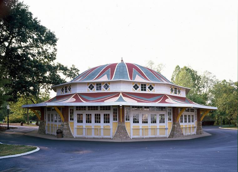
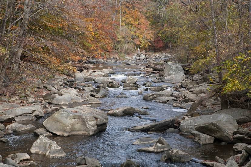
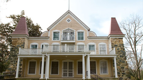
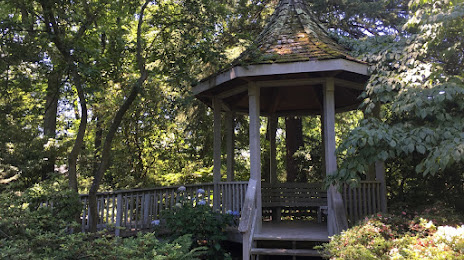
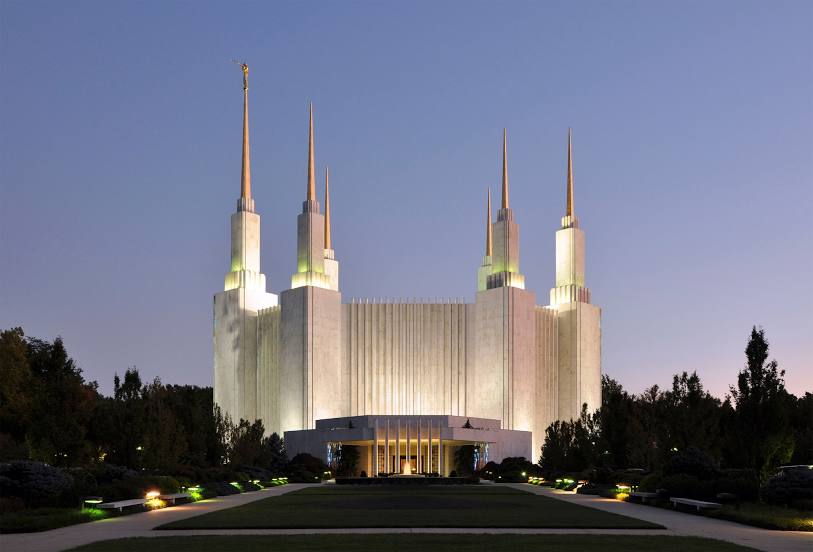
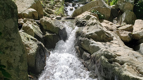
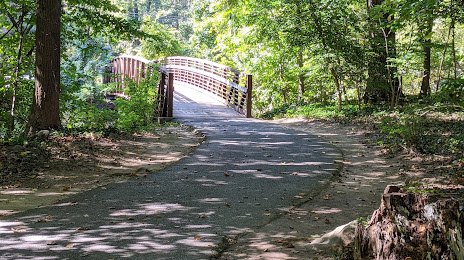
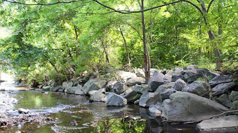
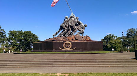
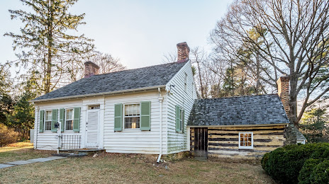
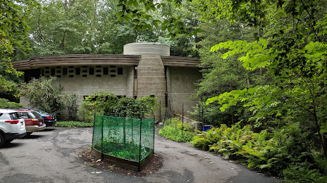
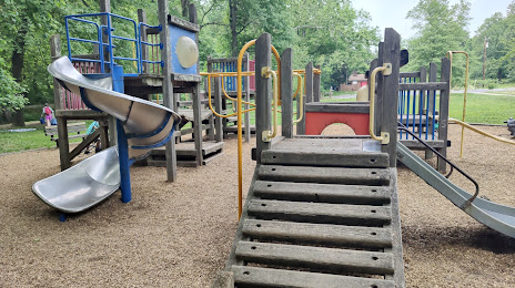
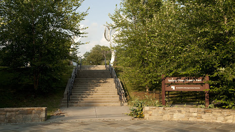
Attractions


Distance to the capital
Distance to the capital (Washington) is about — 10 km.