 Gainesville
Clare
Cape Coral
California
O'Neill
Elkwood
Deadwood
Tulsa
Fort Smith
Mocksville
Las Cruces
Lovington
Deming
West Palm Beach
Red Bluff
Dulce
Inglewood
Española
El Paso
Gainesville
Clare
Cape Coral
California
O'Neill
Elkwood
Deadwood
Tulsa
Fort Smith
Mocksville
Las Cruces
Lovington
Deming
West Palm Beach
Red Bluff
Dulce
Inglewood
Española
El Paso
Denver on the map, United States
Where is located Denver
Exact location — Denver, Denver County, Colorado, United States, marked on the map with a red marker.
Coordinates
Denver, United States coordinates in decimal format: latitude — 39.7392358, longitude — -104.990251. When converted to degrees, minutes, seconds Denver has the following coordinates: 39°44′21.25 north latitude and -104°59′24.9 east longitude.
Population
Denver, Denver County, Colorado, United States, according to our data the population is — 555,981 residents, which is about 0.2% of the total population of the country (United States).
Comparison of the population on the graph:
Exact time
Time zone for this location Denver — UTC -6 America/Denver. Exact time — thursday, 4 april 2024 year, 13 h. 22 minutes.
Sunrise and sunset
Denver, sunrise and sunset data for a date — thursday 25.04.2024.
| Sunrise | Sunset | Day (duration) |
|---|---|---|
| 06:10 -1 minute | 19:45 +1 minute | 13 h. 36 minutes. +2 minutes |
You can control the scale of the map using the auxiliary tools to find out exactly where it is located Denver. When you change the scale of the map, the width of the ruler also changes (in kilometers and miles).
Nearby cities
The largest cities that are located nearby:
- Lakewood — 9 km
- Arvada — 11 km
- Westminster — 11 km
- Aurora — 13 km
- Thornton — 14 km
- Fort Collins — 94 km
- Colorado Springs — 101 km
- Pueblo — 167 km
- Albuquerque — 535 km
- Provo — 566 km
- Valencia — 568 km
- Amarillo — 575 km
- Salt Lake City — 589 km
- West Jordan — 591 km
- West Valley City — 597 km
- Lincoln — 705 km
- Wichita — 707 km
- Lubbock — 740 km
- Omaha — 766 km
Distance to neighboring capitals:
- Mexico City
 (Mexico) — 2327 km
 - Ottawa
 (Canada) — 2466 km
 - Belmopan
 (Belize) — 2951 km
 - Guatemala City
 (Guatemala) — 3130 km
 - Nuuk
 (Greenland) — 4351 km
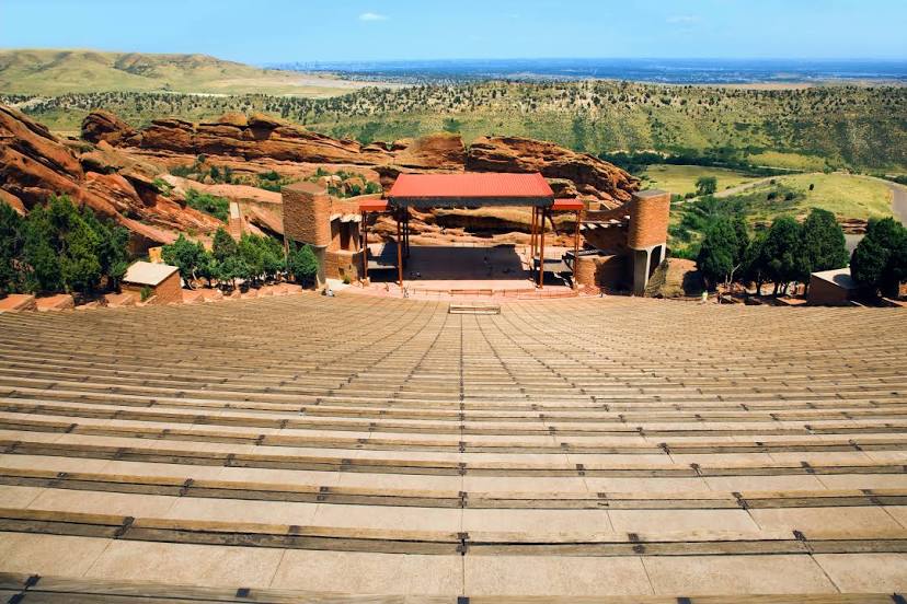
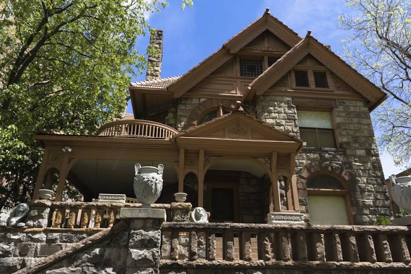
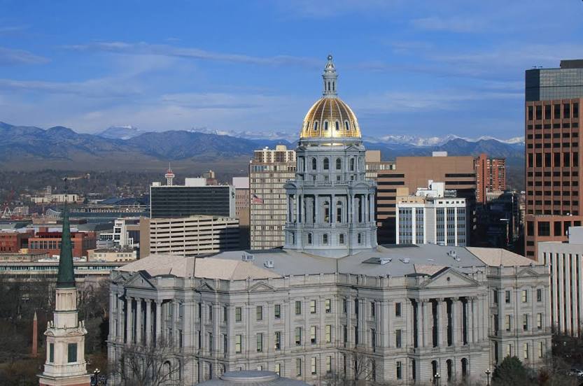
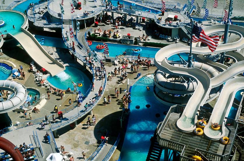
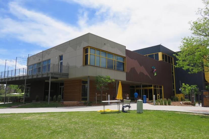
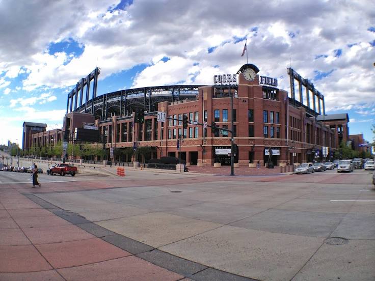
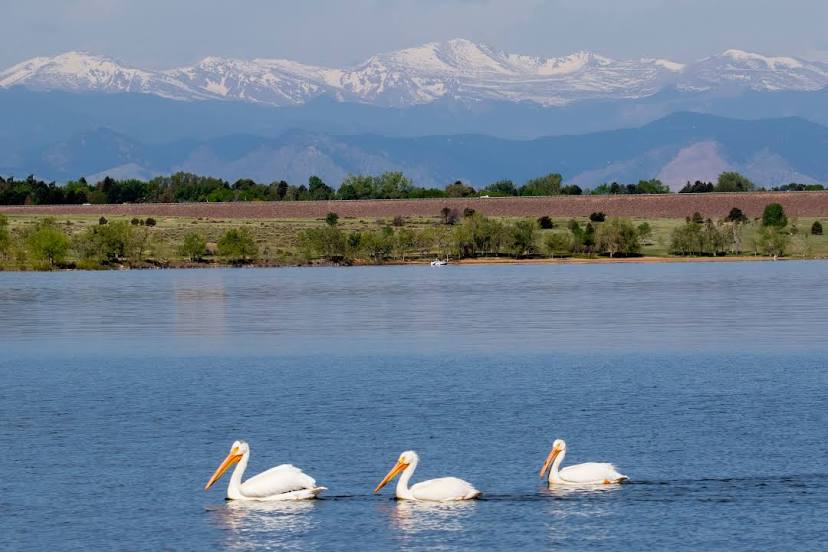
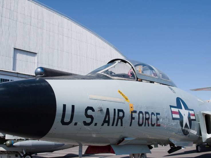
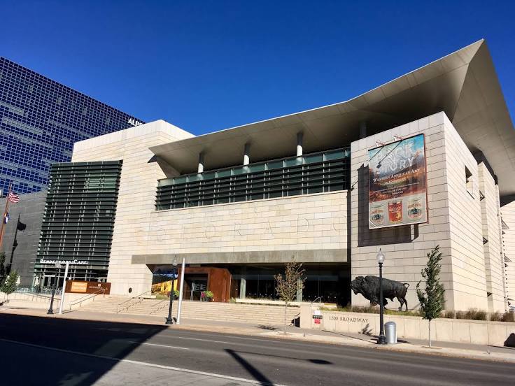
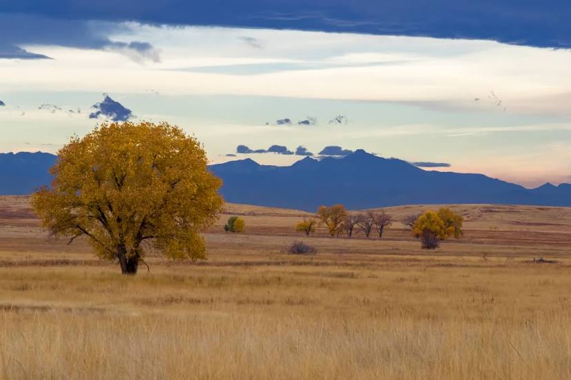
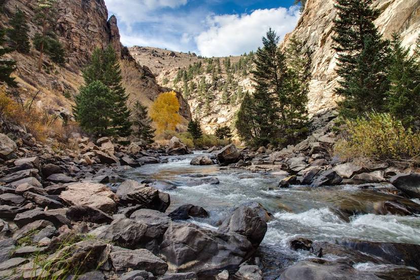
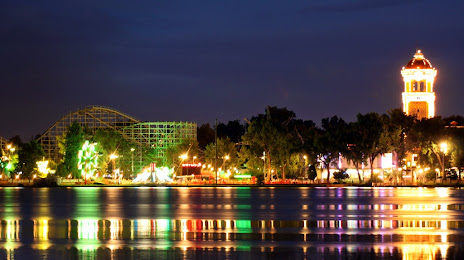
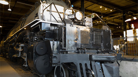
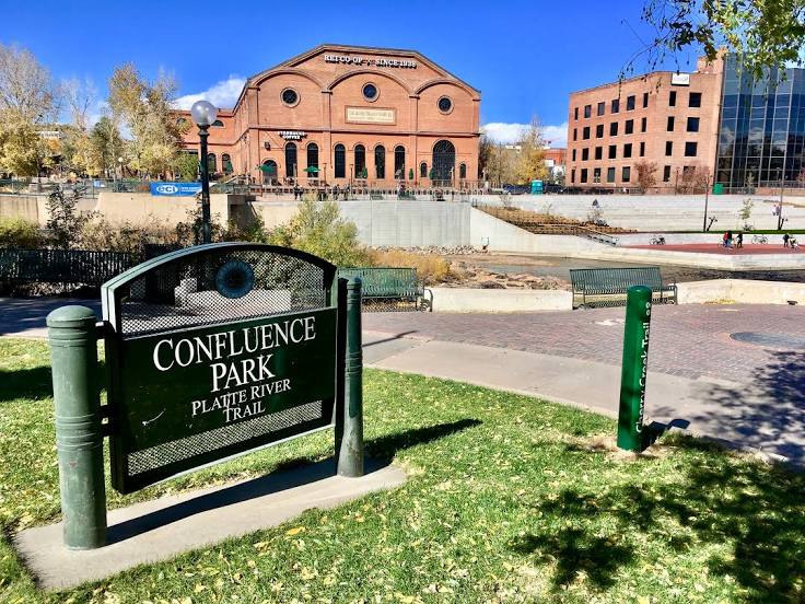
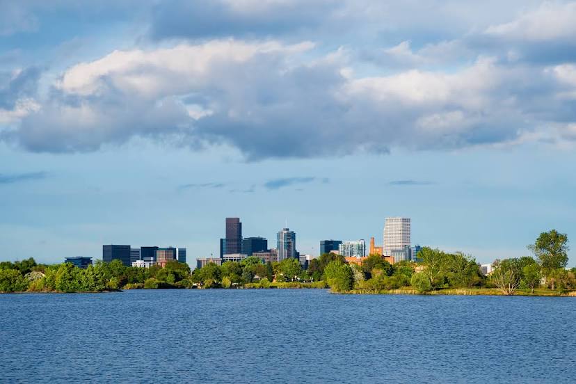
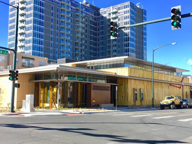
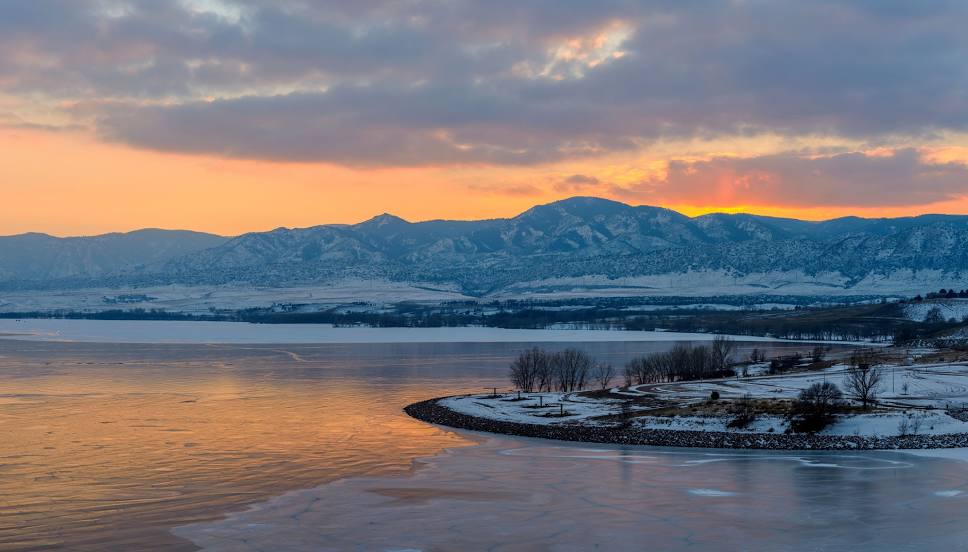
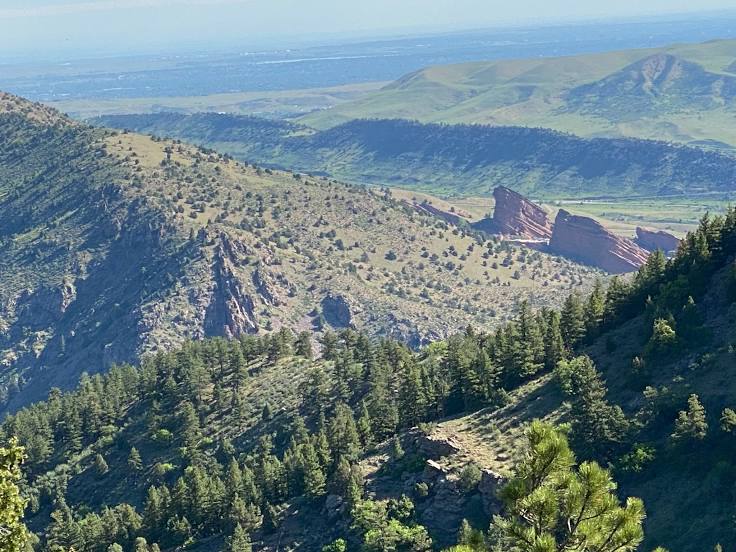
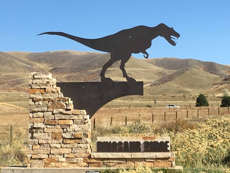
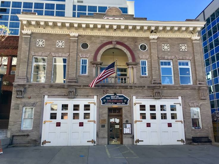
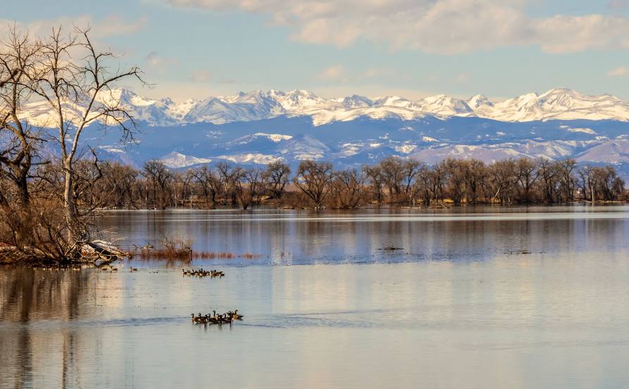
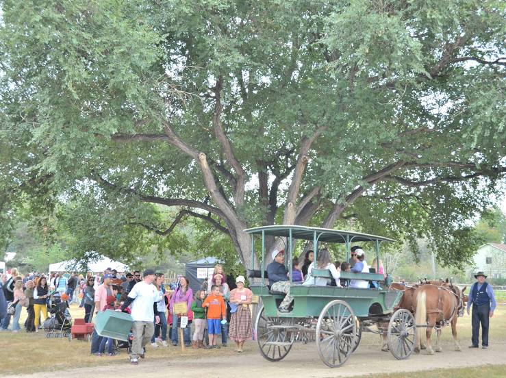
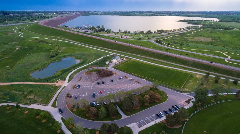
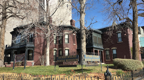
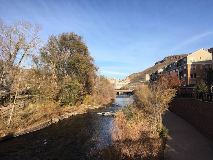
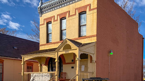
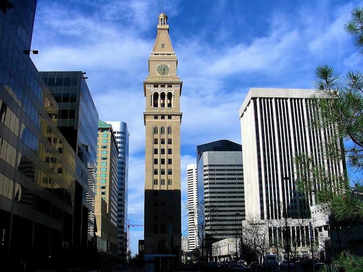
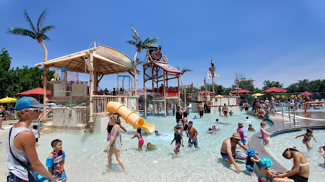
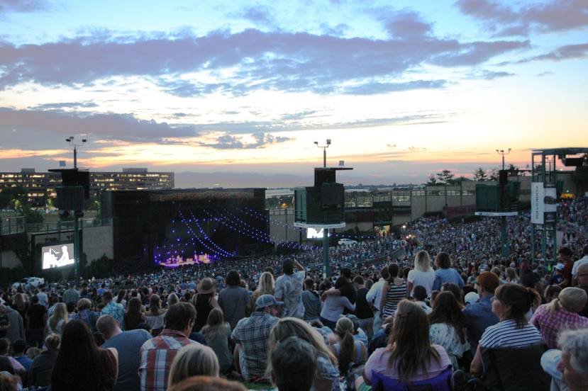
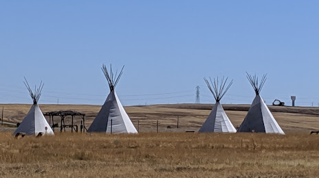
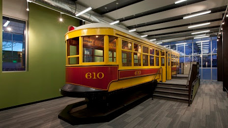
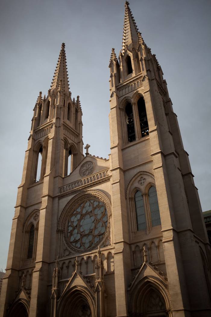
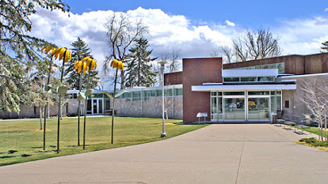
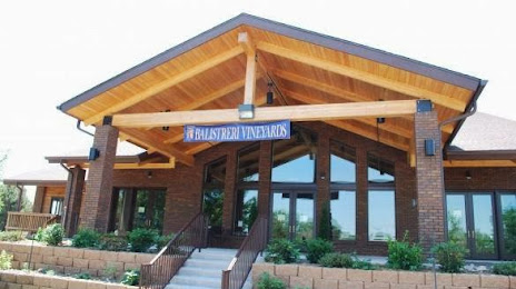
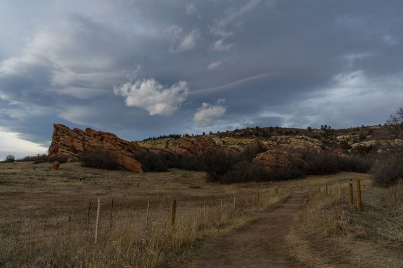
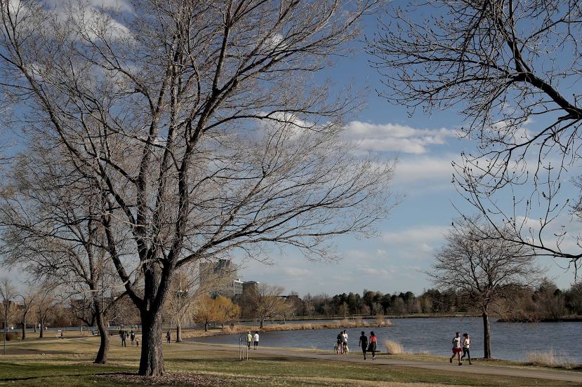
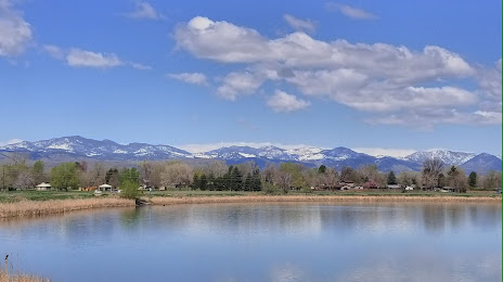
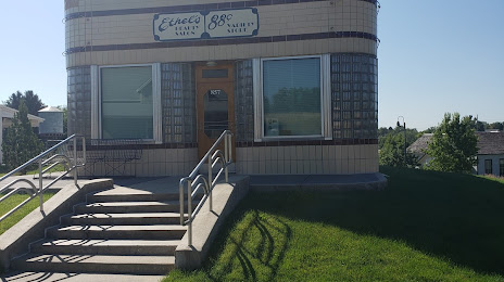
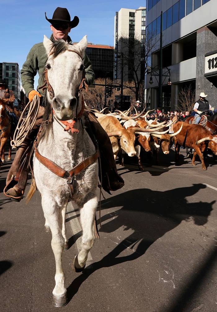
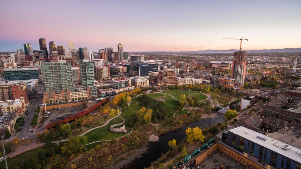
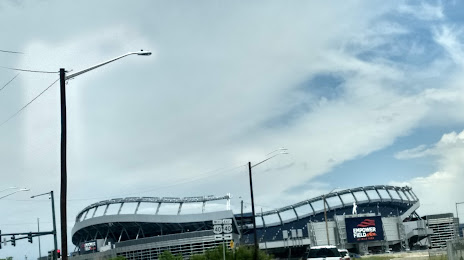
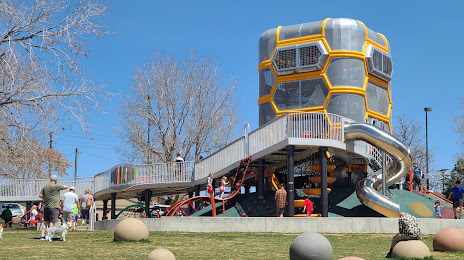
Attractions


Distance to the capital
Distance to the capital (Washington) is about — 2397 km.