 O'Neill
Elkwood
Deadwood
Tulsa
Fort Smith
Weatherford
Pasadena
Monrovia
Maricopa
Merced
Elk Grove
Kansas City
Roswell
Mocksville
Las Cruces
Lovington
Deming
West Palm Beach
Red Bluff
O'Neill
Elkwood
Deadwood
Tulsa
Fort Smith
Weatherford
Pasadena
Monrovia
Maricopa
Merced
Elk Grove
Kansas City
Roswell
Mocksville
Las Cruces
Lovington
Deming
West Palm Beach
Red Bluff
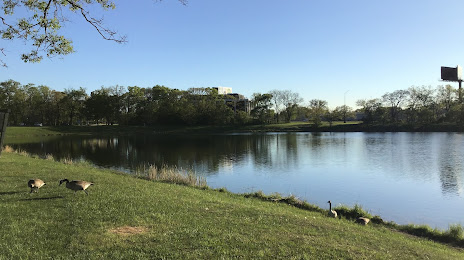
Skokie on the map, United States
Where is located Skokie
Exact location — Skokie, Cook County, Illinois, United States, marked on the map with a red marker.
Coordinates
Skokie, United States coordinates in decimal format: latitude — 42.0324025, longitude — -87.7416246. When converted to degrees, minutes, seconds Skokie has the following coordinates: 42°1′56.65 north latitude and -87°44′29.85 east longitude.
Population
Skokie, Cook County, Illinois, United States, according to our data the population is — 64,227 residents, which is about 0% of the total population of the country (United States).
Comparison of the population on the graph:
Exact time
Time zone for this location Skokie — UTC -5 America/Chicago. Exact time — wednesday, 4 april 2024 year, 11 h. 36 minutes.
Sunrise and sunset
Skokie, sunrise and sunset data for a date — wednesday 24.04.2024.
| Sunrise | Sunset | Day (duration) |
|---|---|---|
| 05:58 -2 minutes | 19:39 +1 minute | 13 h. 42 minutes. +3 minutes |
You can control the scale of the map using the auxiliary tools to find out exactly where it is located Skokie. When you change the scale of the map, the width of the ruler also changes (in kilometers and miles).
Nearby cities
The largest cities that are located nearby:
- Chicago — 19 km
- Naperville — 46 km
- Aurora — 56 km
- Joliet — 63 km
- Milwaukee — 112 km
- Rockford — 114 km
- South Bend — 129 km
- Madison — 177 km
- Grand Rapids — 197 km
- Peoria — 214 km
- Fort Wayne — 241 km
- Lansing — 270 km
- Green Bay — 276 km
- Indianapolis — 284 km
- Ann Arbor — 328 km
- Flint — 345 km
- Toledo — 348 km
- Detroit — 385 km
- Windsor
 (Canada) — 386 km
Distance to neighboring capitals:
- Ottawa (Canada) — 1038 km
- Mexico City
 (Mexico) — 2733 km
 - Belmopan
 (Belize) — 2758 km
 - Guatemala City
 (Guatemala) — 3062 km
 - Nuuk
 (Greenland) — 3357 km
Attractions


Distance to the capital
Distance to the capital (Washington) is about — 969 km.