 Elkwood
Deadwood
Tulsa
Fort Smith
Weatherford
Pasadena
Monrovia
Maricopa
Hawkinsville
Orlando
Merced
Elk Grove
Kansas City
Roswell
Mocksville
Las Cruces
Lovington
Deming
West Palm Beach
Elkwood
Deadwood
Tulsa
Fort Smith
Weatherford
Pasadena
Monrovia
Maricopa
Hawkinsville
Orlando
Merced
Elk Grove
Kansas City
Roswell
Mocksville
Las Cruces
Lovington
Deming
West Palm Beach
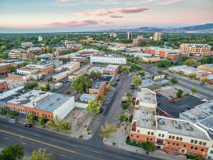
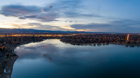
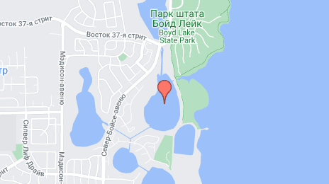
Fort Collins on the map, United States
Where is located Fort Collins
Exact location — Fort Collins, Larimer County, Colorado, United States, marked on the map with a red marker.
Coordinates
Fort Collins, United States coordinates in decimal format: latitude — 40.5852602, longitude — -105.084423. When converted to degrees, minutes, seconds Fort Collins has the following coordinates: 40°35′6.94 north latitude and -105°5′3.92 east longitude.
Population
Fort Collins, Larimer County, Colorado, United States, according to our data the population is — 129,252 residents, which is about 0% of the total population of the country (United States).
Comparison of the population on the graph:
Exact time
Time zone for this location Fort Collins — UTC -6 America/Denver. Exact time — wednesday, 4 april 2024 year, 05 h. 41 minute.
Sunrise and sunset
Fort Collins, sunrise and sunset data for a date — wednesday 24.04.2024.
| Sunrise | Sunset | Day (duration) |
|---|---|---|
| 06:10 -1 minute | 19:46 +1 minute | 13 h. 36 minutes. +2 minutes |
You can control the scale of the map using the auxiliary tools to find out exactly where it is located Fort Collins. When you change the scale of the map, the width of the ruler also changes (in kilometers and miles).
Nearby cities
The largest cities that are located nearby:
- Thornton — 80 km
- Westminster — 83 km
- Arvada — 87 km
- Denver — 94 km
- Aurora — 97 km
- Lakewood — 97 km
- Colorado Springs — 195 km
- Pueblo — 261 km
- Provo — 556 km
- Salt Lake City — 570 km
- West Jordan — 575 km
- West Valley City — 580 km
- Albuquerque — 623 km
- Valencia — 656 km
- Amarillo — 662 km
- Lincoln — 703 km
- Sioux Falls — 745 km
- Wichita — 750 km
- Omaha — 759 km
Distance to neighboring capitals:
- Mexico City
 (Mexico) — 2420 km
 - Ottawa
 (Canada) — 2436 km
 - Belmopan
 (Belize) — 3031 km
 - Guatemala City
 (Guatemala) — 3215 km
 - Nuuk
 (Greenland) — 4277 km
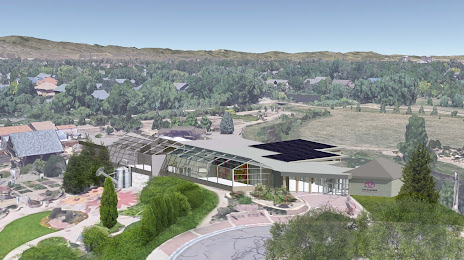
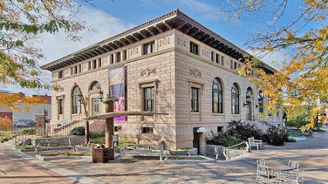
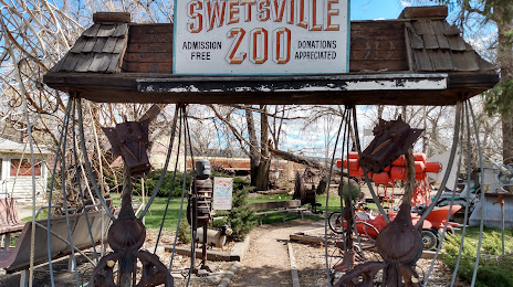
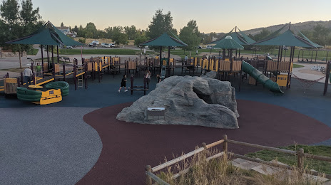
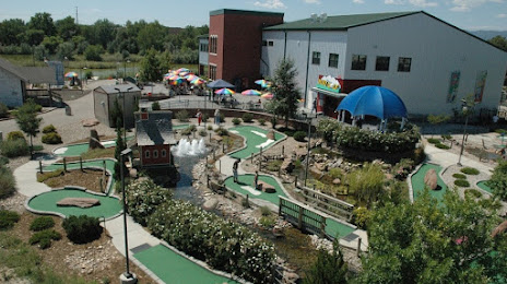
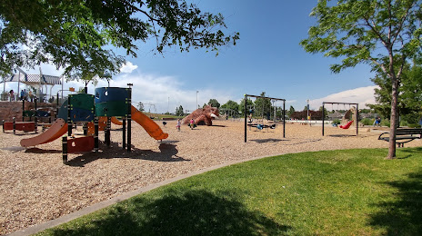
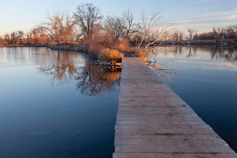
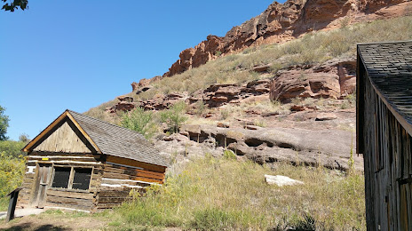
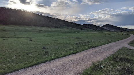
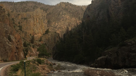
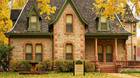
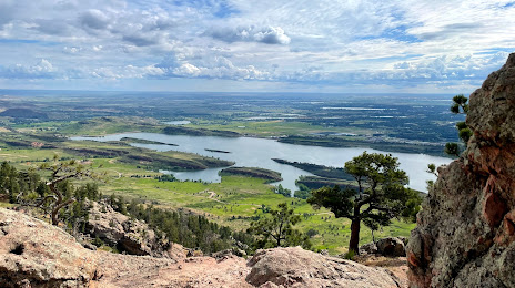
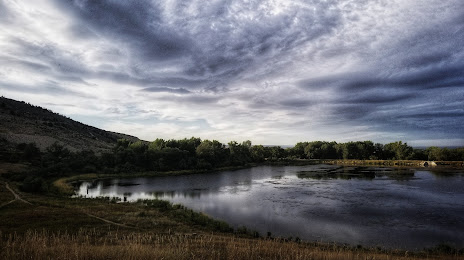
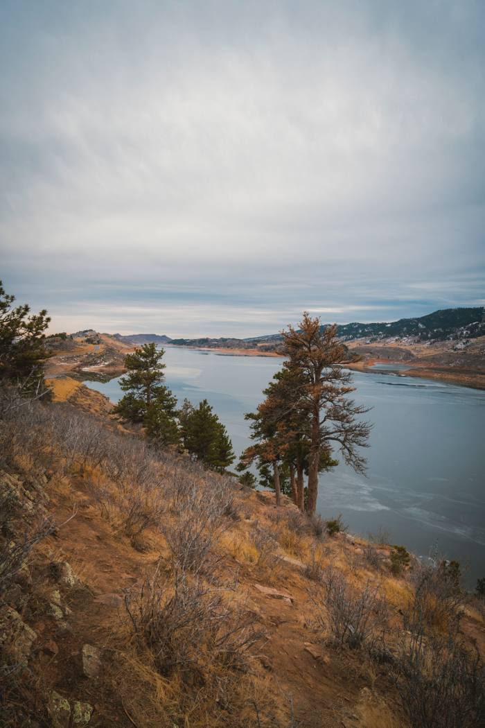
Attractions


Distance to the capital
Distance to the capital (Washington) is about — 2396 km.