 Monrovia
Maricopa
Hawkinsville
Garden Grove
Webberville
San Antonio
Boulder
Vail
Casper
Denver
Bethesda
Hobbs
Mountainair
Chillicothe
Carlsbad
Orlando
Merced
Elk Grove
Kansas City
Monrovia
Maricopa
Hawkinsville
Garden Grove
Webberville
San Antonio
Boulder
Vail
Casper
Denver
Bethesda
Hobbs
Mountainair
Chillicothe
Carlsbad
Orlando
Merced
Elk Grove
Kansas City
Bentonville on the map, United States
Where is located Bentonville
Exact location — Bentonville, Benton County, Arkansas, United States, marked on the map with a red marker.
Coordinates
Bentonville, United States coordinates in decimal format: latitude — 36.3728538, longitude — -94.2088172. When converted to degrees, minutes, seconds Bentonville has the following coordinates: 36°22′22.27 north latitude and -94°12′31.74 east longitude.
Population
Bentonville, Benton County, Arkansas, United States, according to our data the population is — 31,470 residents, which is about 0% of the total population of the country (United States).
Comparison of the population on the graph:
Exact time
Time zone for this location Bentonville — UTC -5 America/Chicago. Exact time — thursday, 4 april 2024 year, 14 h. 31 minute.
Sunrise and sunset
Bentonville, sunrise and sunset data for a date — thursday 18.04.2024.
| Sunrise | Sunset | Day (duration) |
|---|---|---|
| 06:41 -1 minute | 19:50 -0 minutes | 13 h. 12 minutes. +1 minute |
You can control the scale of the map using the auxiliary tools to find out exactly where it is located Bentonville. When you change the scale of the map, the width of the ruler also changes (in kilometers and miles).
Nearby cities
The largest cities that are located nearby:
- Springfield — 123 km
- Tulsa — 161 km
- Little Rock — 250 km
- Olathe — 282 km
- Overland Park — 291 km
- Independence — 301 km
- Kansas City — 303 km
- North Kansas City — 308 km
- Wichita — 310 km
- Oklahoma City — 314 km
- Norman — 318 km
- Topeka — 323 km
- Memphis — 400 km
- Saint Louis — 427 km
- Shreveport — 428 km
- Frisco — 431 km
- Plano — 437 km
- Denton — 442 km
- Garland — 444 km
Distance to neighboring capitals:
- Ottawa
 (Canada) — 1847 km
 - Mexico City
 (Mexico) — 1945 km
 - Belmopan
 (Belize) — 2193 km
 - Guatemala City
 (Guatemala) — 2448 km
 - Nuuk
 (Greenland) — 4180 km
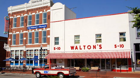
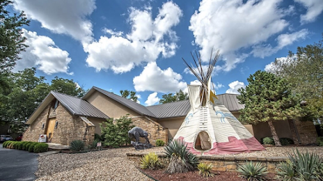
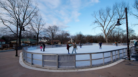
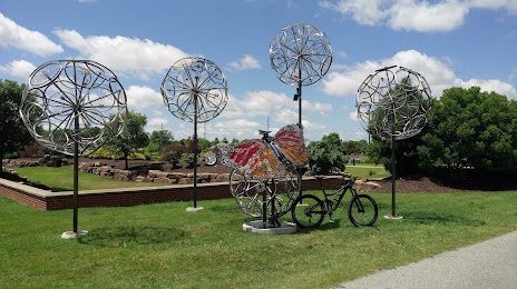
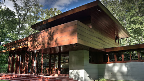
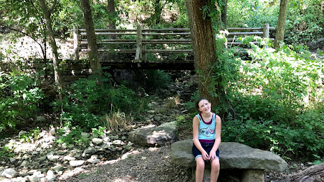
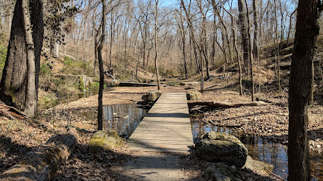
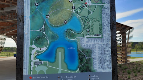
Attractions


Distance to the capital
Distance to the capital (Washington) is about — 1536 km.