 Norman
Rapid City
Miamisburg
Arlington
Loveland
Westminster
Rochester
Cheyenne
Lakeland
California
Cape Coral
Clare
Gainesville
Bentonville
Mount Laurel
North Sioux City
Kearney
Lincoln
Grand Rapids
Norman
Rapid City
Miamisburg
Arlington
Loveland
Westminster
Rochester
Cheyenne
Lakeland
California
Cape Coral
Clare
Gainesville
Bentonville
Mount Laurel
North Sioux City
Kearney
Lincoln
Grand Rapids
Garden Grove on the map, United States
Where is located Garden Grove
Exact location — Garden Grove, Orange County, California, United States, marked on the map with a red marker.
Coordinates
Garden Grove, United States coordinates in decimal format: latitude — 33.7739053, longitude — -117.9414477. When converted to degrees, minutes, seconds Garden Grove has the following coordinates: 33°46′26.06 north latitude and -117°56′29.21 east longitude.
Population
Garden Grove, Orange County, California, United States, according to our data the population is — 167,232 residents, which is about 0.1% of the total population of the country (United States).
Comparison of the population on the graph:
Exact time
Time zone for this location Garden Grove — UTC -7 America/Los_Angeles. Exact time — tuesday, 4 april 2024 year, 15 h. 11 minutes.
Sunrise and sunset
Garden Grove, sunrise and sunset data for a date — tuesday 23.04.2024.
| Sunrise | Sunset | Day (duration) |
|---|---|---|
| 06:13 -1 minute | 19:26 +1 minute | 13 h. 12 minutes. +2 minutes |
You can control the scale of the map using the auxiliary tools to find out exactly where it is located Garden Grove. When you change the scale of the map, the width of the ruler also changes (in kilometers and miles).
Nearby cities
The largest cities that are located nearby:
- Anaheim — 7 km
- Santa Ana — 7 km
- Orange — 8 km
- Fullerton — 11 km
- Huntington Beach — 14 km
- Costa Mesa — 15 km
- Irvine — 17 km
- Norwalk — 19 km
- Long Beach — 23 km
- Downey — 25 km
- West Covina — 33 km
- El Monte — 34 km
- East Los Angeles — 34 km
- Pomona — 36 km
- Corona — 36 km
- Torrance — 37 km
- Los Angeles — 41 km
- Ontario — 42 km
- Inglewood — 43 km
Distance to neighboring capitals:
- Mexico City
 (Mexico) — 2450 km
 - Belmopan
 (Belize) — 3438 km
 - Guatemala City
 (Guatemala) — 3483 km
 - Ottawa
 (Canada) — 3795 km
 - Nuuk
 (Greenland) — 5530 km
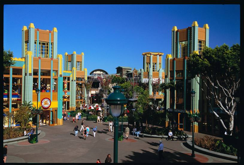
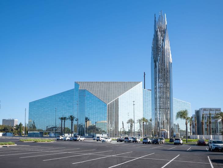
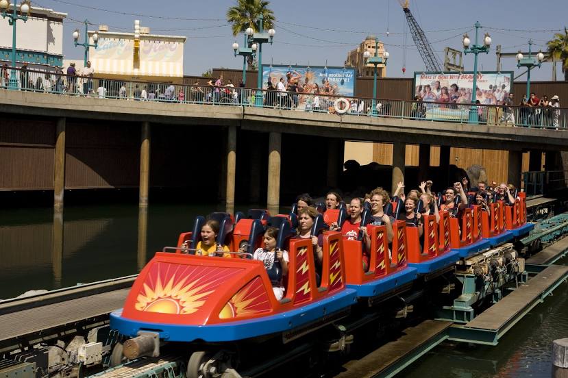
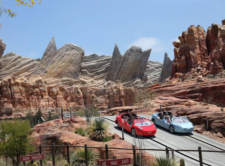
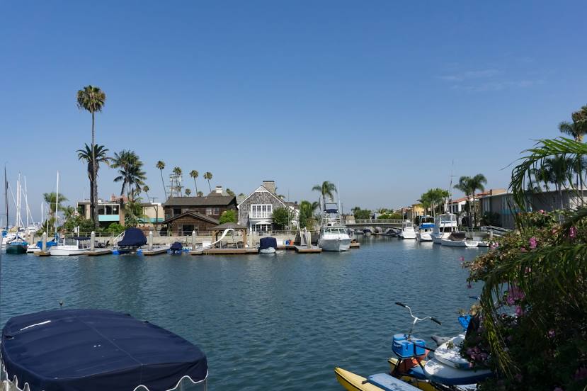
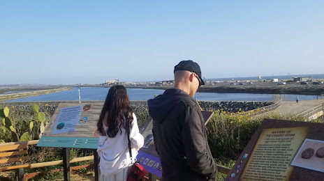
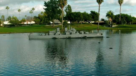
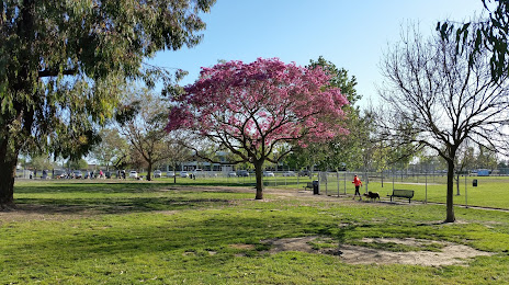
Attractions


Distance to the capital
Distance to the capital (Washington) is about — 3678 km.