 Cheyenne
Lakeland
El Segundo
Greeneville
Grandview
Jefferson City
Lake Charles
Granite City
Van Buren
Pasadena
Weatherford
Fort Smith
Tulsa
Deadwood
Elkwood
O'Neill
California
Cape Coral
Clare
Cheyenne
Lakeland
El Segundo
Greeneville
Grandview
Jefferson City
Lake Charles
Granite City
Van Buren
Pasadena
Weatherford
Fort Smith
Tulsa
Deadwood
Elkwood
O'Neill
California
Cape Coral
Clare
Glendale on the map, United States
Where is located Glendale
Exact location — Glendale, Los Angeles County, California, United States, marked on the map with a red marker.
Coordinates
Glendale, United States coordinates in decimal format: latitude — 34.1425078, longitude — -118.255075. When converted to degrees, minutes, seconds Glendale has the following coordinates: 34°8′33.03 north latitude and -118°15′18.27 east longitude.
Population
Glendale, Los Angeles County, California, United States, according to our data the population is — 191,719 residents, which is about 0.1% of the total population of the country (United States).
Comparison of the population on the graph:
Exact time
Time zone for this location Glendale — UTC -7 America/Los_Angeles. Exact time — friday, 4 april 2024 year, 12 h. 28 minutes.
Sunrise and sunset
Glendale, sunrise and sunset data for a date — friday 19.04.2024.
| Sunrise | Sunset | Day (duration) |
|---|---|---|
| 06:18 -1 minute | 19:25 +1 minute | 13 h. 6 minutes. +2 minutes |
You can control the scale of the map using the auxiliary tools to find out exactly where it is located Glendale. When you change the scale of the map, the width of the ruler also changes (in kilometers and miles).
Nearby cities
The largest cities that are located nearby:
- Burbank — 7 km
- Universal City — 9 km
- Los Angeles — 10 km
- Pasadena — 10 km
- East Los Angeles — 16 km
- Inglewood — 22 km
- El Monte — 22 km
- Downey — 25 km
- West Covina — 30 km
- Norwalk — 31 km
- Torrance — 35 km
- Santa Clarita — 38 km
- Long Beach — 42 km
- Fullerton — 43 km
- Santa Clarita — 43 km
- Anaheim — 46 km
- Pomona — 47 km
- Garden Grove — 50 km
- Palmdale — 50 km
Distance to neighboring capitals:
- Mexico City
 (Mexico) — 2498 km
 - Belmopan
 (Belize) — 3481 km
 - Guatemala City
 (Guatemala) — 3529 km
 - Ottawa
 (Canada) — 3797 km
 - Nuuk
 (Greenland) — 5511 km
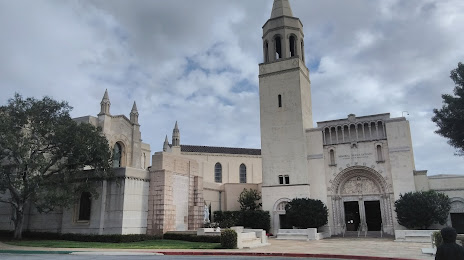
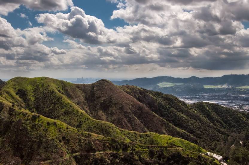
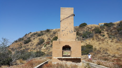
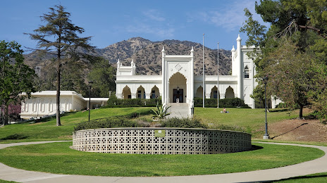
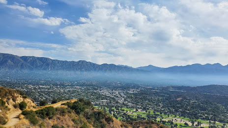
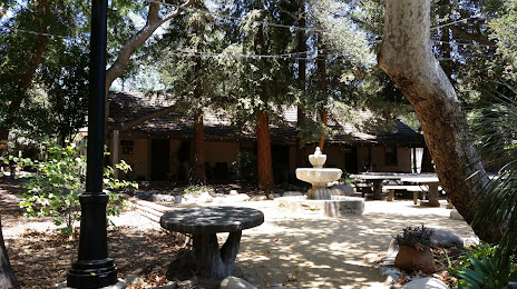
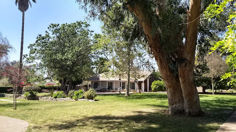
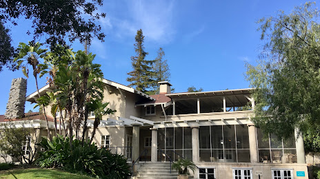
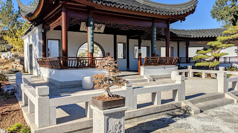
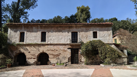
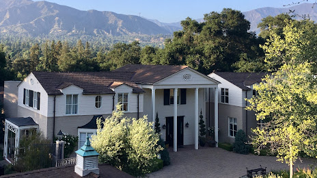
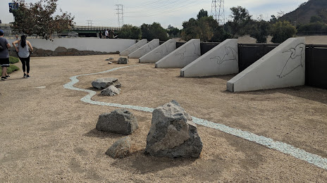
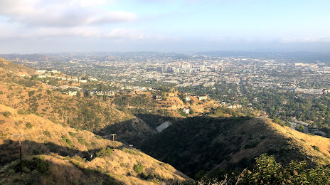
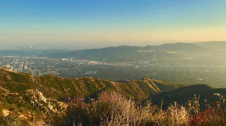
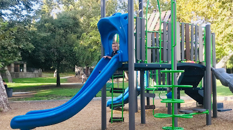
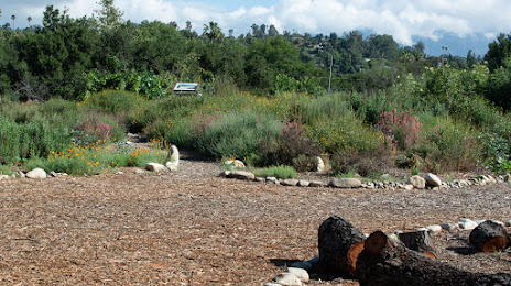
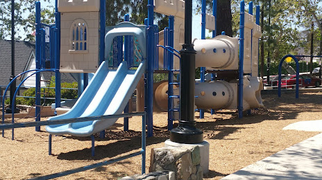
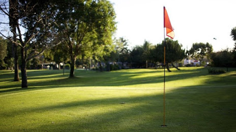
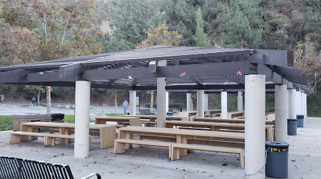
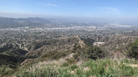
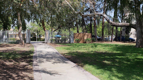
Attractions


Distance to the capital
Distance to the capital (Washington) is about — 3691 km.