 El Segundo
Greeneville
Grandview
Jefferson City
Lake Charles
Granite City
Van Buren
West Des Moines
Dodge City
Maricopa
Monrovia
Pasadena
Weatherford
Fort Smith
Tulsa
Deadwood
Elkwood
O'Neill
California
El Segundo
Greeneville
Grandview
Jefferson City
Lake Charles
Granite City
Van Buren
West Des Moines
Dodge City
Maricopa
Monrovia
Pasadena
Weatherford
Fort Smith
Tulsa
Deadwood
Elkwood
O'Neill
California
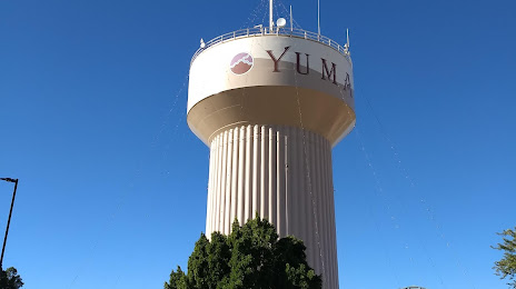
Yuma on the map, United States
Where is located Yuma
Exact location — Yuma, Yuma County, Arizona, United States, marked on the map with a red marker.
Coordinates
Yuma, United States coordinates in decimal format: latitude — 32.6926512, longitude — -114.6276916. When converted to degrees, minutes, seconds Yuma has the following coordinates: 32°41′33.54 north latitude and -114°37′39.69 east longitude.
Population
Yuma, Yuma County, Arizona, United States, according to our data the population is — 84,316 residents, which is about 0% of the total population of the country (United States).
Comparison of the population on the graph:
Exact time
Time zone for this location Yuma — UTC -7 America/Phoenix. Exact time — wednesday, 4 april 2024 year, 23 h. 38 minutes.
Sunrise and sunset
Yuma, sunrise and sunset data for a date — wednesday 24.04.2024.
| Sunrise | Sunset | Day (duration) |
|---|---|---|
| 06:00 -1 minute | 19:12 +1 minute | 13 h. 12 minutes. +2 minutes |
You can control the scale of the map using the auxiliary tools to find out exactly where it is located Yuma. When you change the scale of the map, the width of the ruler also changes (in kilometers and miles).
Nearby cities
The largest cities that are located nearby:
- San Luis Río Colorado
 (Mexico) — 30 km
 - Mexicali (Mexico) — 77 km
- Ensenada (Mexico) — 207 km
- Tijuana (Mexico) — 226 km
- Chula Vista — 229 km
- Escondido — 232 km
- San Diego — 236 km
- Peoria — 241 km
- Glendale — 244 km
- Phoenix — 250 km
- Oceanside — 261 km
- Tempe — 261 km
- Scottsdale — 264 km
- Chandler — 266 km
- Mesa — 270 km
- Gilbert — 272 km
- Moreno Valley — 276 km
- San Bernardino — 290 km
- Riverside — 290 km
Distance to neighboring capitals:
- Mexico City (Mexico) — 2133 km
- Belmopan
 (Belize) — 3108 km
 - Guatemala City
 (Guatemala) — 3158 km
 - Ottawa
 (Canada) — 3605 km
 - Nuuk
 (Greenland) — 5474 km
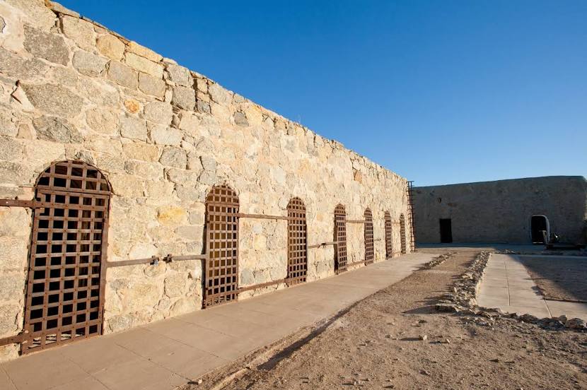
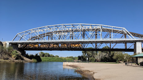
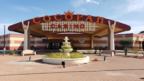
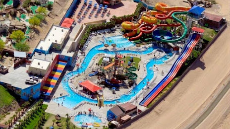
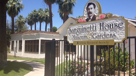
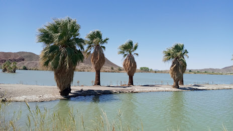
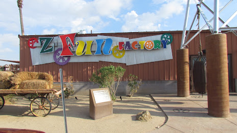
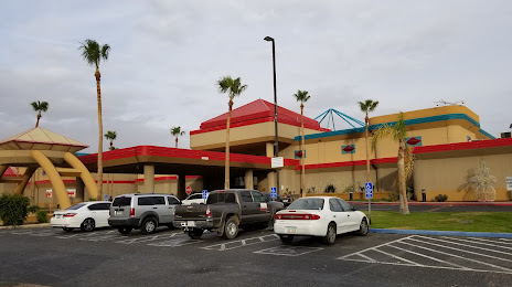
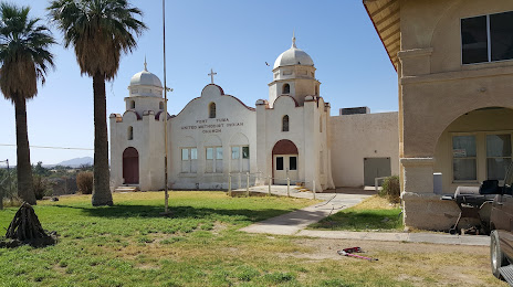
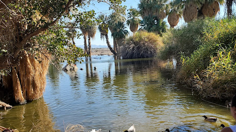
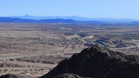
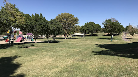
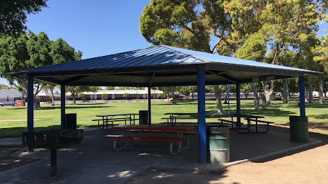
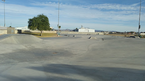
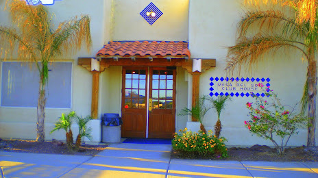
Attractions


Distance to the capital
Distance to the capital (Washington) is about — 3436 km.