 Lake Charles
Granite City
Van Buren
West Des Moines
Dodge City
Buna
Des Moines
Tempe
Mason City
San Antonio
Webberville
Garden Grove
Hawkinsville
Maricopa
Monrovia
Pasadena
Weatherford
Fort Smith
Tulsa
Lake Charles
Granite City
Van Buren
West Des Moines
Dodge City
Buna
Des Moines
Tempe
Mason City
San Antonio
Webberville
Garden Grove
Hawkinsville
Maricopa
Monrovia
Pasadena
Weatherford
Fort Smith
Tulsa
Rapid City on the map, United States
Where is located Rapid City
Exact location — Rapid City, Pennington County, South Dakota, United States, marked on the map with a red marker.
Coordinates
Rapid City, United States coordinates in decimal format: latitude — 44.0805434, longitude — -103.2310149. When converted to degrees, minutes, seconds Rapid City has the following coordinates: 44°4′49.96 north latitude and -103°13′51.65 east longitude.
Population
Rapid City, Pennington County, South Dakota, United States, according to our data the population is — 61,888 residents, which is about 0% of the total population of the country (United States).
Comparison of the population on the graph:
Exact time
Time zone for this location Rapid City — UTC -6 America/Denver. Exact time — friday, 4 april 2024 year, 12 h. 31 minute.
Sunrise and sunset
Rapid City, sunrise and sunset data for a date — friday 19.04.2024.
| Sunrise | Sunset | Day (duration) |
|---|---|---|
| 06:04 -2 minutes | 19:39 +2 minutes | 13 h. 36 minutes. +4 minutes |
You can control the scale of the map using the auxiliary tools to find out exactly where it is located Rapid City. When you change the scale of the map, the width of the ruler also changes (in kilometers and miles).
Nearby cities
The largest cities that are located nearby:
- Fort Collins — 417 km
- Thornton — 489 km
- Westminster — 494 km
- Arvada — 499 km
- Aurora — 500 km
- Denver — 503 km
- Lakewood — 509 km
- Sioux Falls — 524 km
- Colorado Springs — 596 km
- Pueblo — 655 km
- Lincoln — 655 km
- Omaha — 678 km
- Regina
 (Canada) — 711 km
 - Winnipeg (Canada) — 776 km
- Minneapolis — 786 km
- Saint Paul — 799 km
- Salt Lake City — 813 km
- West Valley City — 825 km
- West Jordan — 826 km
Distance to neighboring capitals:
- Ottawa (Canada) — 2169 km
- Mexico City
 (Mexico) — 2768 km
 - Belmopan
 (Belize) — 3278 km
 - Guatemala City
 (Guatemala) — 3491 km
 - Nuuk
 (Greenland) — 3872 km
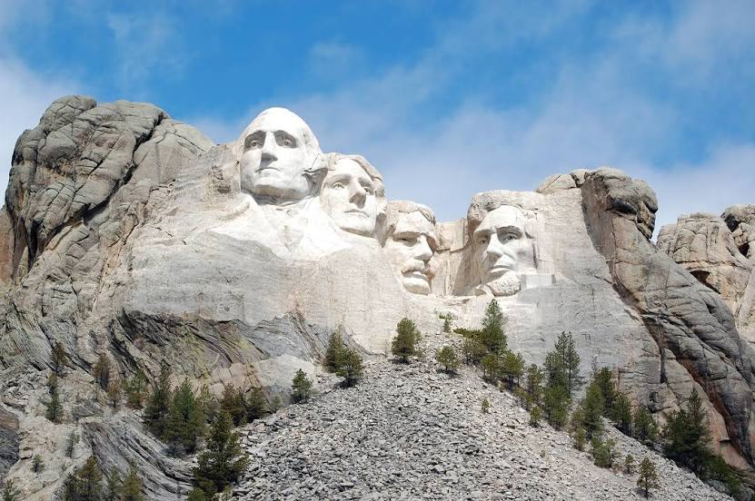
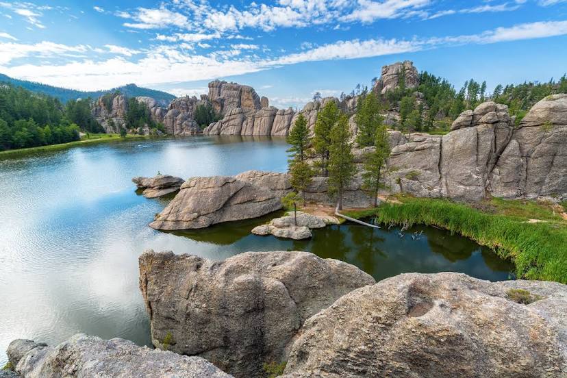
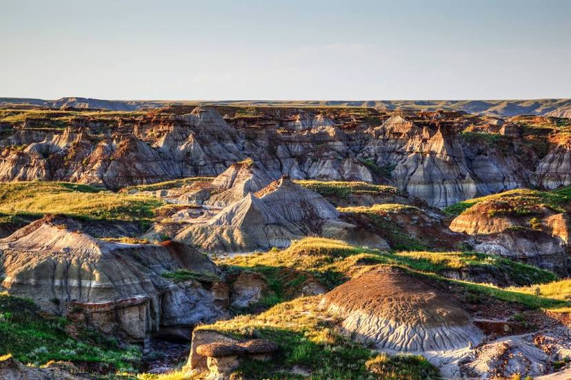
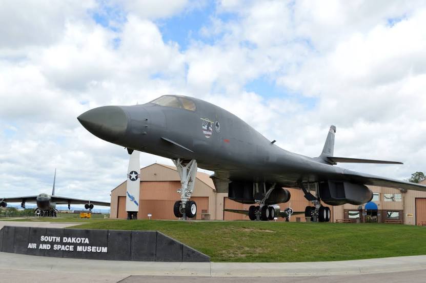
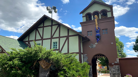
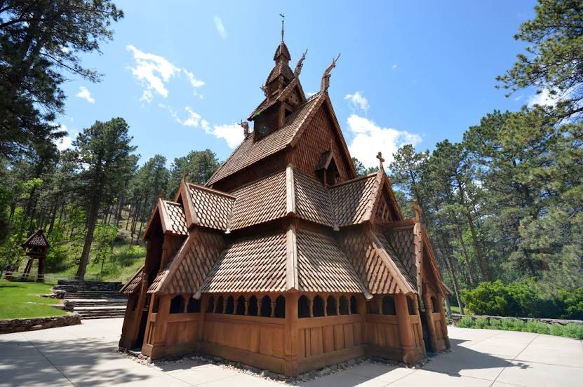
Attractions


Distance to the capital
Distance to the capital (Washington) is about — 2246 km.