 Pleasant Hill
Sibley
North Little Rock
Horn Lake
Laredo
Tucson
Merriam
Mesa
Paragould
Granite City
Lake Charles
Jefferson City
Grandview
Greeneville
El Segundo
Lakeland
Cheyenne
Rochester
Westminster
Pleasant Hill
Sibley
North Little Rock
Horn Lake
Laredo
Tucson
Merriam
Mesa
Paragould
Granite City
Lake Charles
Jefferson City
Grandview
Greeneville
El Segundo
Lakeland
Cheyenne
Rochester
Westminster
Shreveport on the map, United States
Where is located Shreveport
Exact location — Shreveport, Caddo Parish, Louisiana, United States, marked on the map with a red marker.
Coordinates
Shreveport, United States coordinates in decimal format: latitude — 32.5251516, longitude — -93.7501789. When converted to degrees, minutes, seconds Shreveport has the following coordinates: 32°31′30.55 north latitude and -93°45′0.64 east longitude.
Population
Shreveport, Caddo Parish, Louisiana, United States, according to our data the population is — 196,980 residents, which is about 0.1% of the total population of the country (United States).
Comparison of the population on the graph:
Exact time
Time zone for this location Shreveport — UTC -5 America/Chicago. Exact time — saturday, 4 april 2024 year, 04 h. 20 minutes.
Sunrise and sunset
Shreveport, sunrise and sunset data for a date — saturday 20.04.2024.
| Sunrise | Sunset | Day (duration) |
|---|---|---|
| 06:41 -1 minute | 19:45 -0 minutes | 13 h. 6 minutes. +1 minute |
You can control the scale of the map using the auxiliary tools to find out exactly where it is located Shreveport. When you change the scale of the map, the width of the ruler also changes (in kilometers and miles).
Nearby cities
The largest cities that are located nearby:
- Mesquite — 266 km
- Garland — 272 km
- Beaumont — 273 km
- Plano — 279 km
- Little Rock — 279 km
- Richardson — 280 km
- Dallas — 285 km
- Frisco — 293 km
- Carrollton — 295 km
- Irving — 299 km
- Grand Prairie — 303 km
- Lafayette — 303 km
- Arlington — 313 km
- Denton — 322 km
- Fort Worth — 334 km
- Jackson — 334 km
- Waco — 338 km
- Baton Rouge — 338 km
- Houston — 343 km
Distance to neighboring capitals:
- Mexico City
 (Mexico) — 1552 km
 - Belmopan
 (Belize) — 1771 km
 - Guatemala City
 (Guatemala) — 2019 km
 - Ottawa
 (Canada) — 2111 km
 - Nuuk
 (Greenland) — 4539 km
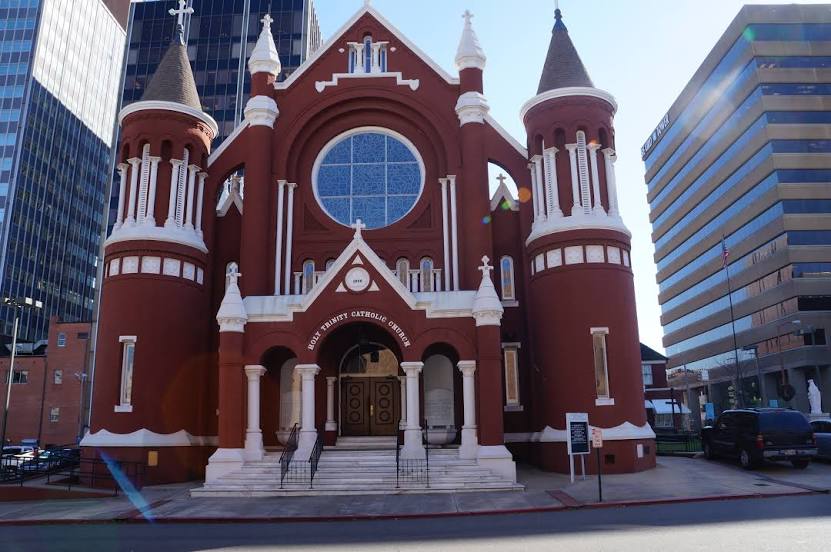
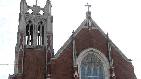
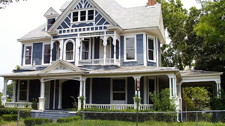
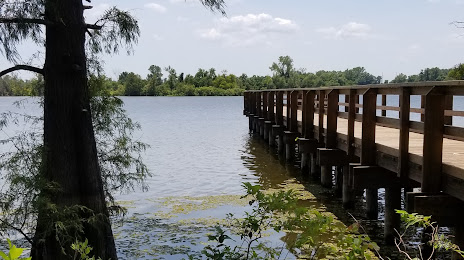
Attractions


Distance to the capital
Distance to the capital (Washington) is about — 1664 km.