 Paragould
Mobile
Miami Beach
Culver City
Newton
Westford
Tampa
Lowell
Quincy
Oelwein
Mason City
Tempe
Des Moines
Buna
Dodge City
West Des Moines
Van Buren
Granite City
Lake Charles
Paragould
Mobile
Miami Beach
Culver City
Newton
Westford
Tampa
Lowell
Quincy
Oelwein
Mason City
Tempe
Des Moines
Buna
Dodge City
West Des Moines
Van Buren
Granite City
Lake Charles
Pine Bluff on the map, United States
Where is located Pine Bluff
Exact location — Pine Bluff, Jefferson County, Arkansas, United States, marked on the map with a red marker.
Coordinates
Pine Bluff, United States coordinates in decimal format: latitude — 34.2284312, longitude — -92.0031955. When converted to degrees, minutes, seconds Pine Bluff has the following coordinates: 34°13′42.35 north latitude and -92°0′11.5 east longitude.
Population
Pine Bluff, Jefferson County, Arkansas, United States, according to our data the population is — 53,217 residents, which is about 0% of the total population of the country (United States).
Comparison of the population on the graph:
Exact time
Time zone for this location Pine Bluff — UTC -5 America/Chicago. Exact time — thursday, 4 april 2024 year, 12 h. 14 minutes.
Sunrise and sunset
Pine Bluff, sunrise and sunset data for a date — thursday 25.04.2024.
| Sunrise | Sunset | Day (duration) |
|---|---|---|
| 06:26 -1 minute | 19:44 -0 minutes | 13 h. 18 minutes. +1 minute |
You can control the scale of the map using the auxiliary tools to find out exactly where it is located Pine Bluff. When you change the scale of the map, the width of the ruler also changes (in kilometers and miles).
Nearby cities
The largest cities that are located nearby:
- Little Rock — 63 km
- Memphis — 204 km
- Shreveport — 249 km
- Jackson — 273 km
- Springfield — 349 km
- Tulsa — 415 km
- Baton Rouge — 425 km
- Lafayette — 443 km
- Garland — 454 km
- Plano — 455 km
- Mesquite — 457 km
- Richardson — 461 km
- Frisco — 462 km
- Dallas — 474 km
- Carrollton — 474 km
- Clarksville — 485 km
- Irving — 485 km
- Birmingham — 486 km
- Denton — 488 km
Distance to neighboring capitals:
- Mexico City
 (Mexico) — 1790 km
 - Ottawa
 (Canada) — 1862 km
 - Belmopan
 (Belize) — 1916 km
 - Guatemala City
 (Guatemala) — 2187 km
 - Nuuk
 (Greenland) — 4297 km
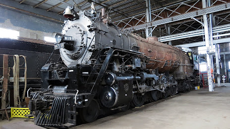
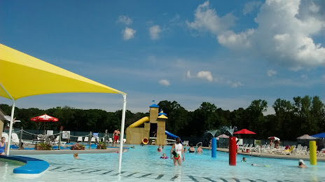
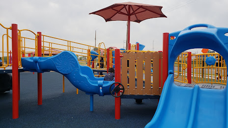
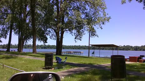
Attractions

Distance to the capital
Distance to the capital (Washington) is about — 1432 km.