 Plano
Lancaster
Newport Beach
Lewistown
Midlothian
North Charleston
Bakersfield
Maple Shade Township
Dover
Laredo
Horn Lake
North Little Rock
Sibley
Pleasant Hill
Maumelle
Hot Springs
Sandwich
Pine Bluff
Beaumont
Plano
Lancaster
Newport Beach
Lewistown
Midlothian
North Charleston
Bakersfield
Maple Shade Township
Dover
Laredo
Horn Lake
North Little Rock
Sibley
Pleasant Hill
Maumelle
Hot Springs
Sandwich
Pine Bluff
Beaumont
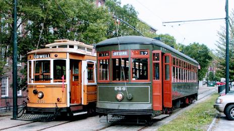
Lowell on the map, United States
Where is located Lowell
Exact location — Lowell, Middlesex County, Massachusetts, United States, marked on the map with a red marker.
Coordinates
Lowell, United States coordinates in decimal format: latitude — 42.6334247, longitude — -71.3161718. When converted to degrees, minutes, seconds Lowell has the following coordinates: 42°38′0.33 north latitude and -71°18′58.22 east longitude.
Population
Lowell, Middlesex County, Massachusetts, United States, according to our data the population is — 103,469 residents, which is about 0% of the total population of the country (United States).
Comparison of the population on the graph:
Exact time
Time zone for this location Lowell — UTC -4 America/New_York. Exact time — friday, 4 april 2024 year, 05 h. 46 minutes.
Sunrise and sunset
Lowell, sunrise and sunset data for a date — friday 19.04.2024.
| Sunrise | Sunset | Day (duration) |
|---|---|---|
| 05:59 -2 minutes | 19:28 +1 minute | 13 h. 30 minutes. +3 minutes |
You can control the scale of the map using the auxiliary tools to find out exactly where it is located Lowell. When you change the scale of the map, the width of the ruler also changes (in kilometers and miles).
Nearby cities
The largest cities that are located nearby:
- Cambridge — 33 km
- Boston — 37 km
- Manchester — 42 km
- Worcester — 57 km
- Providence — 90 km
- Amherst — 102 km
- Springfield — 120 km
- Hartford — 148 km
- Waterbury — 186 km
- New Haven — 198 km
- Bridgeport — 224 km
- Stamford — 255 km
- Yonkers — 286 km
- Paterson — 305 km
- Sherbrooke
 (Canada) — 309 km
 - New York — 310 km
- Brooklyn — 310 km
- Newark — 318 km
- Elizabeth — 326 km
Distance to neighboring capitals:
- Ottawa (Canada) — 468 km
- Nuuk
 (Greenland) — 2699 km
 - Belmopan
 (Belize) — 3271 km
 - Guatemala City
 (Guatemala) — 3618 km
 - Mexico City
 (Mexico) — 3667 km
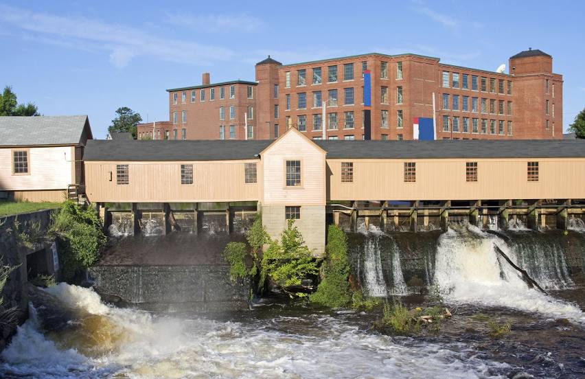
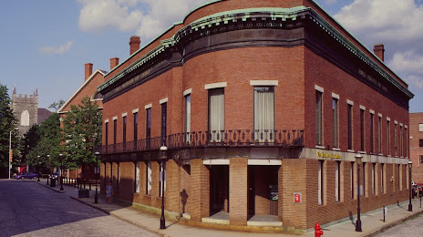
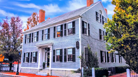
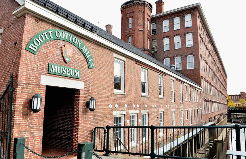
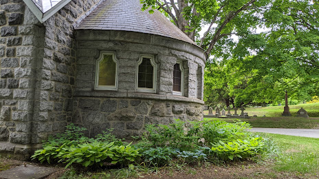
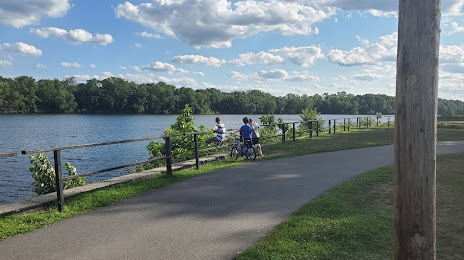
Attractions


Distance to the capital
Distance to the capital (Washington) is about — 635 km.