 Midlothian
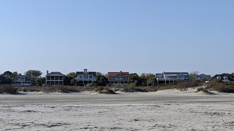
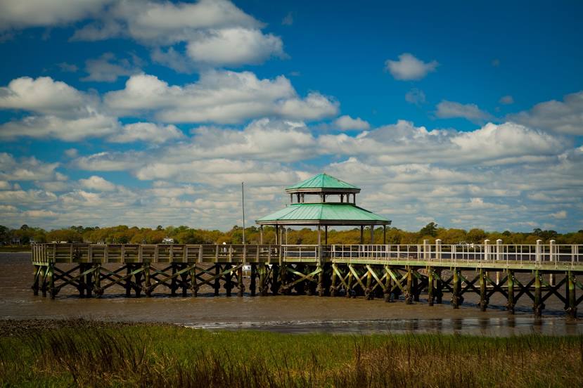
North Charleston
Bakersfield
Maple Shade Township
Dover
Malibu
Franklin
Port Gibson
Willow Grove
Paragould
Mesa
Merriam
Tucson
Laredo
Horn Lake
North Little Rock
Sibley
Pleasant Hill
Maumelle
Midlothian
North Charleston
Bakersfield
Maple Shade Township
Dover
Malibu
Franklin
Port Gibson
Willow Grove
Paragould
Mesa
Merriam
Tucson
Laredo
Horn Lake
North Little Rock
Sibley
Pleasant Hill
Maumelle
Charleston on the map, United States
Where is located Charleston
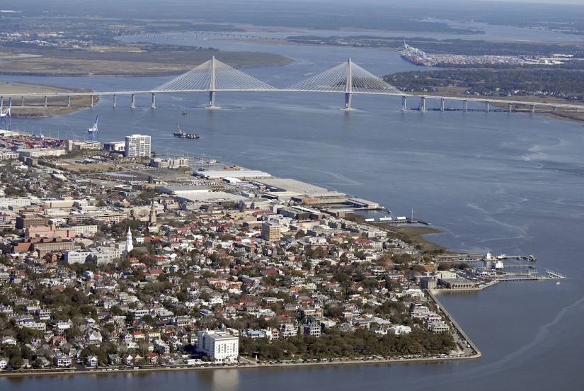
Exact location — Charleston, Charleston County, South Carolina, United States, marked on the map with a red marker.
Coordinates
Charleston, United States coordinates in decimal format: latitude — 32.7764749, longitude — -79.9310512. When converted to degrees, minutes, seconds Charleston has the following coordinates: 32°46′35.31 north latitude and -79°55′51.78 east longitude.
Population
Charleston, Charleston County, South Carolina, United States, according to our data the population is — 104,782 residents, which is about 0% of the total population of the country (United States).
Comparison of the population on the graph:
Exact time
Time zone for this location Charleston — UTC -4 America/New_York. Exact time — tuesday, 4 april 2024 year, 06 h. 04 minutes.
Sunrise and sunset
Charleston, sunrise and sunset data for a date — tuesday 16.04.2024.
| Sunrise | Sunset | Day (duration) |
|---|---|---|
| 06:50 -1 minute | 19:48 +1 minute | 13 h. 0 minutes. +2 minutes |
You can control the scale of the map using the auxiliary tools to find out exactly where it is located Charleston. When you change the scale of the map, the width of the ruler also changes (in kilometers and miles).
Nearby cities
The largest cities that are located nearby:
- Savannah — 134 km
- Columbia — 169 km
- Fayetteville — 269 km
- Charlotte — 283 km
- Jacksonville — 316 km
- Cary — 349 km
- Raleigh — 352 km
- Greensboro — 365 km
- Durham — 368 km
- Winston-Salem — 368 km
- Gainesville — 415 km
- Atlanta — 424 km
- Tallahassee — 489 km
- Orlando — 489 km
- Knoxville — 501 km
- Chesapeake — 547 km
- Chattanooga — 548 km
- Norfolk — 554 km
- Hampton — 567 km
Distance to neighboring capitals:
- Ottawa
 (Canada) — 1453 km
 - Belmopan
 (Belize) — 1941 km
 - Guatemala City
 (Guatemala) — 2287 km
 - Mexico City
 (Mexico) — 2418 km
 - Nuuk
 (Greenland) — 3992 km
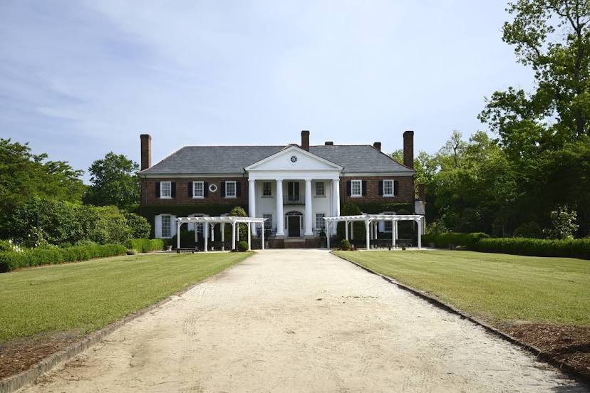
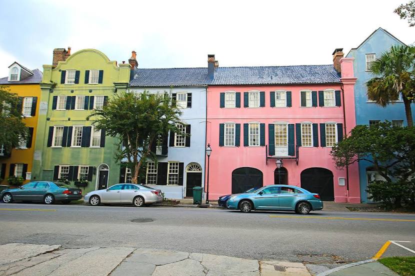
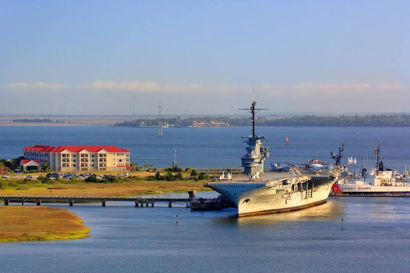
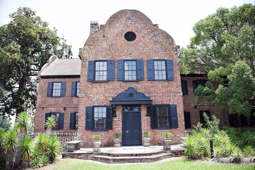
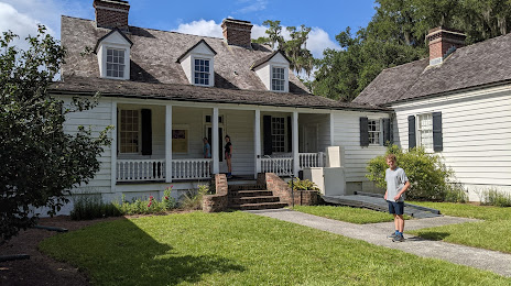
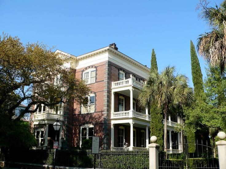
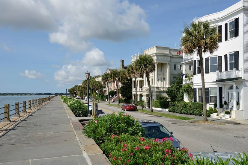
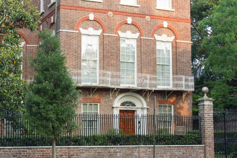
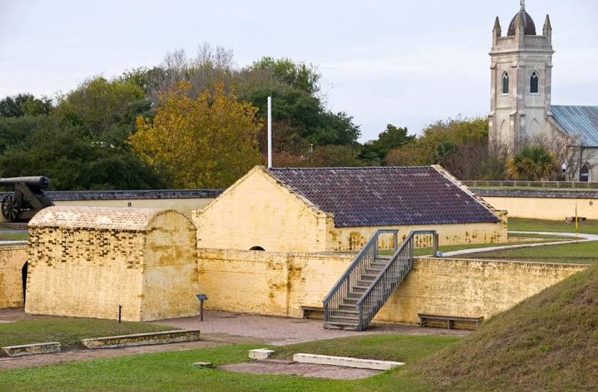
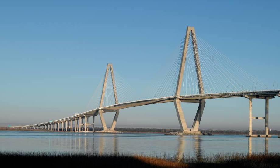
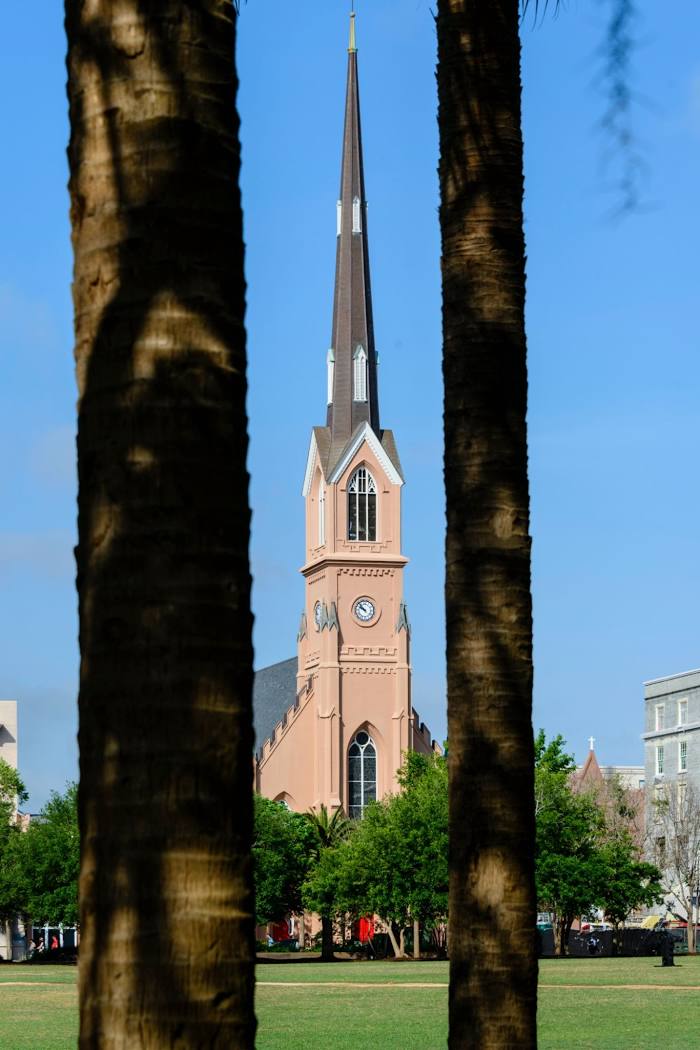
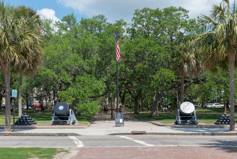
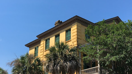
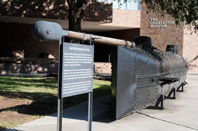
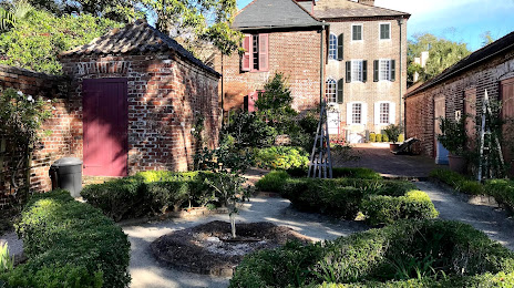
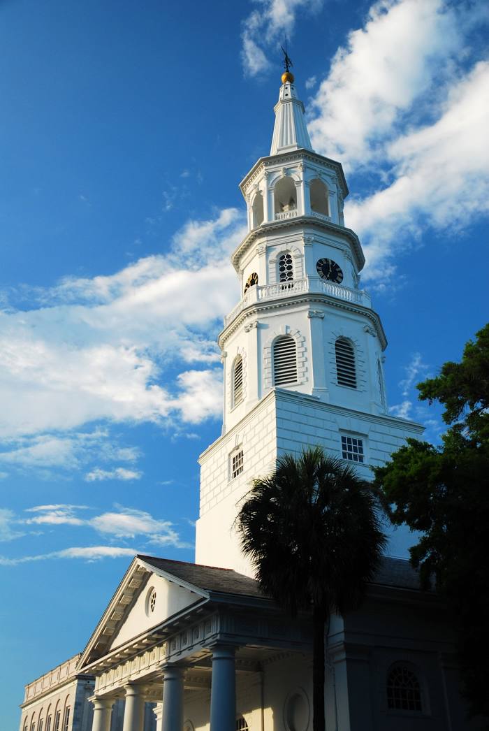
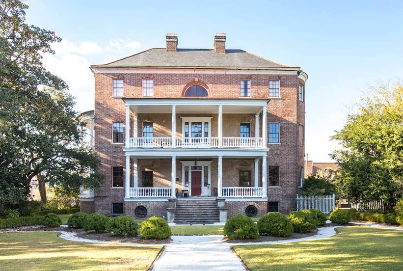
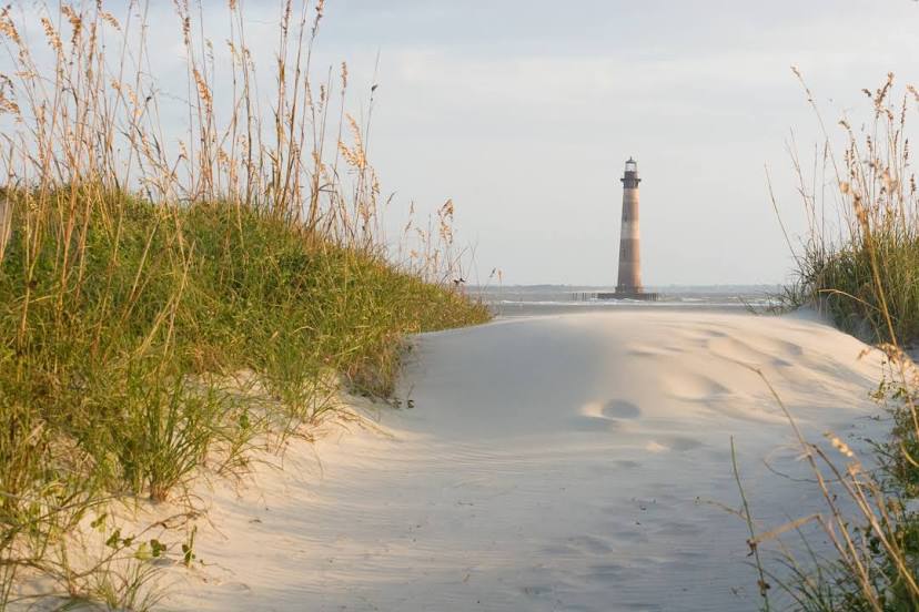
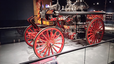
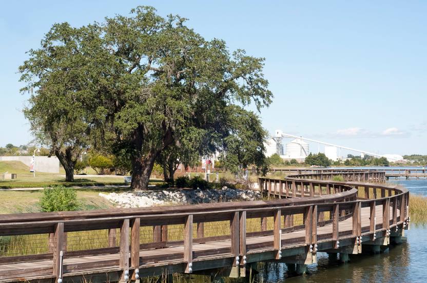
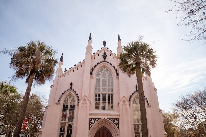
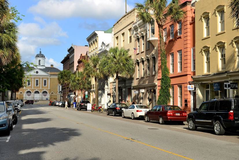
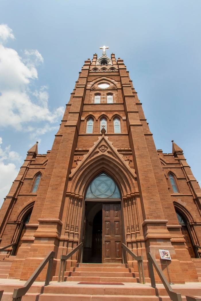
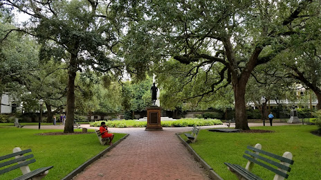
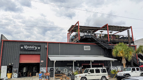
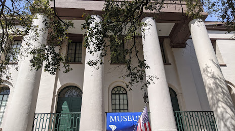
Attractions


Distance to the capital
Distance to the capital (Washington) is about — 730 km.