 Hollister
Campbell
Santa Clara
Pescadero
Monterey
Santa Monica
Lake Placid
Searcy
Gloucester
Horsham
Malvern
Bensalem
Charleston
Bluemont
Metairie
Quincy
Lowell
Tampa
Westford
Hollister
Campbell
Santa Clara
Pescadero
Monterey
Santa Monica
Lake Placid
Searcy
Gloucester
Horsham
Malvern
Bensalem
Charleston
Bluemont
Metairie
Quincy
Lowell
Tampa
Westford
Bakersfield on the map, United States
Where is located Bakersfield
Exact location — Bakersfield, Kern County, California, United States, marked on the map with a red marker.
Coordinates
Bakersfield, United States coordinates in decimal format: latitude — 35.3732921, longitude — -119.0187125. When converted to degrees, minutes, seconds Bakersfield has the following coordinates: 35°22′23.85 north latitude and -119°1′7.37 east longitude.
Population
Bakersfield, Kern County, California, United States, according to our data the population is — 291,389 residents, which is about 0.1% of the total population of the country (United States).
Comparison of the population on the graph:
Exact time
Time zone for this location Bakersfield — UTC -7 America/Los_Angeles. Exact time — thursday, 4 april 2024 year, 02 h. 50 minutes.
Sunrise and sunset
Bakersfield, sunrise and sunset data for a date — thursday 25.04.2024.
| Sunrise | Sunset | Day (duration) |
|---|---|---|
| 06:13 -1 minute | 19:34 +1 minute | 13 h. 24 minutes. +2 minutes |
You can control the scale of the map using the auxiliary tools to find out exactly where it is located Bakersfield. When you change the scale of the map, the width of the ruler also changes (in kilometers and miles).
Nearby cities
The largest cities that are located nearby:
- Visalia — 109 km
- Lancaster — 109 km
- Santa Clarita — 112 km
- Santa Clarita — 117 km
- Palmdale — 120 km
- Simi Valley — 124 km
- Oxnard — 131 km
- Thousand Oaks — 134 km
- Burbank — 147 km
- Universal City — 149 km
- Glendale — 153 km
- Pasadena — 157 km
- Los Angeles — 162 km
- Fresno — 166 km
- Inglewood — 168 km
- East Los Angeles — 169 km
- El Monte — 170 km
- West Covina — 175 km
- Downey — 178 km
Distance to neighboring capitals:
- Mexico City
 (Mexico) — 2636 km
 - Belmopan
 (Belize) — 3603 km
 - Guatemala City
 (Guatemala) — 3660 km
 - Ottawa
 (Canada) — 3785 km
 - Nuuk
 (Greenland) — 5431 km
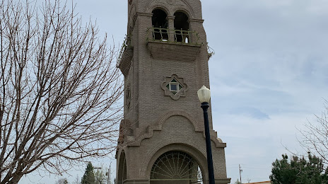
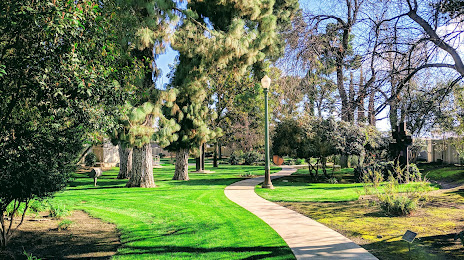
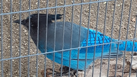
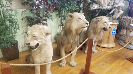
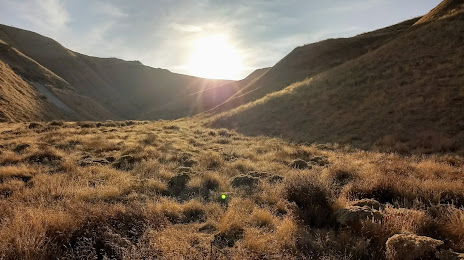
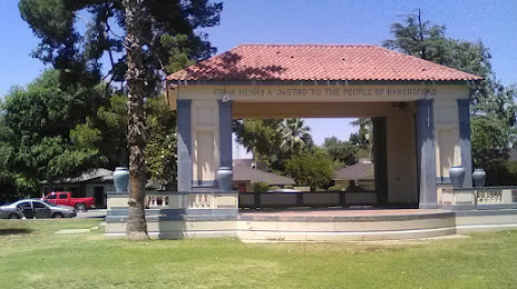
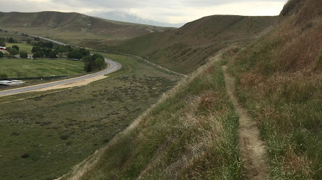
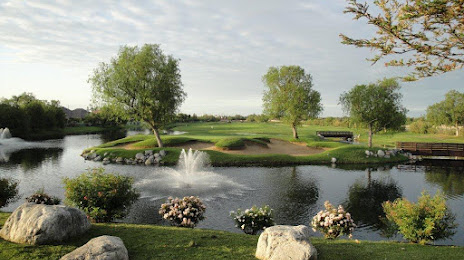
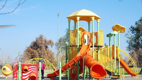
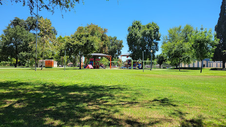
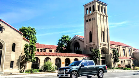
Attractions


Distance to the capital
Distance to the capital (Washington) is about — 3710 km.