 Cupertino
Coarsegold
Warren
Romulus
Allen Park
Līhuʻe
Springfield
Fairborn
Piqua
Maple Shade Township
Bakersfield
North Charleston
Midlothian
Lewistown
Newport Beach
Lancaster
Plano
Sugar Land
Olathe
Cupertino
Coarsegold
Warren
Romulus
Allen Park
Līhuʻe
Springfield
Fairborn
Piqua
Maple Shade Township
Bakersfield
North Charleston
Midlothian
Lewistown
Newport Beach
Lancaster
Plano
Sugar Land
Olathe
Hollister on the map, United States
Where is located Hollister
Exact location — Hollister, San Benito County, California, United States, marked on the map with a red marker.
Coordinates
Hollister, United States coordinates in decimal format: latitude — 36.8524545, longitude — -121.4016021. When converted to degrees, minutes, seconds Hollister has the following coordinates: 36°51′8.84 north latitude and -121°24′5.77 east longitude.
Population
Hollister, San Benito County, California, United States, according to our data the population is — 37,485 residents, which is about 0% of the total population of the country (United States).
Comparison of the population on the graph:
Exact time
Time zone for this location Hollister — UTC -7 America/Los_Angeles. Exact time — friday, 4 april 2024 year, 12 h. 11 minutes.
Sunrise and sunset
Hollister, sunrise and sunset data for a date — friday 19.04.2024.
| Sunrise | Sunset | Day (duration) |
|---|---|---|
| 06:27 -2 minutes | 19:41 +1 minute | 13 h. 12 minutes. +3 minutes |
You can control the scale of the map using the auxiliary tools to find out exactly where it is located Hollister. When you change the scale of the map, the width of the ruler also changes (in kilometers and miles).
Nearby cities
The largest cities that are located nearby:
- Salinas — 30 km
- San Jose — 69 km
- Santa Clara — 74 km
- Sunnyvale — 80 km
- Fremont — 93 km
- Modesto — 94 km
- Hayward — 108 km
- Stockton — 123 km
- Oakland — 130 km
- San Francisco — 135 km
- Berkeley — 136 km
- Concord — 136 km
- Richmond — 144 km
- Fresno — 145 km
- Vallejo — 157 km
- Fairfield — 164 km
- Sacramento — 191 km
- Visalia — 197 km
- Santa Rosa — 209 km
Distance to neighboring capitals:
- Mexico City
 (Mexico) — 2905 km
 - Belmopan
 (Belize) — 3868 km
 - Ottawa
 (Canada) — 3890 km
 - Guatemala City
 (Guatemala) — 3928 km
 - Nuuk
 (Greenland) — 5408 km
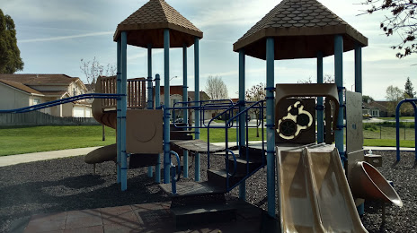
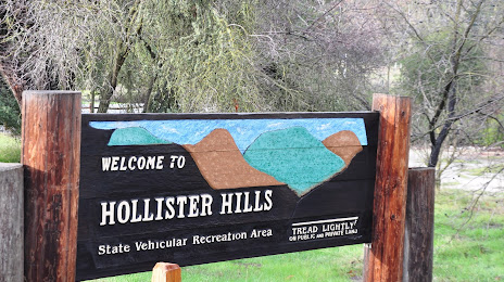
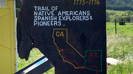
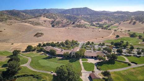
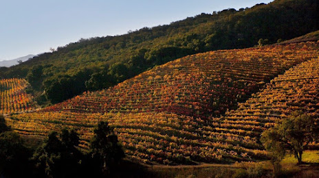
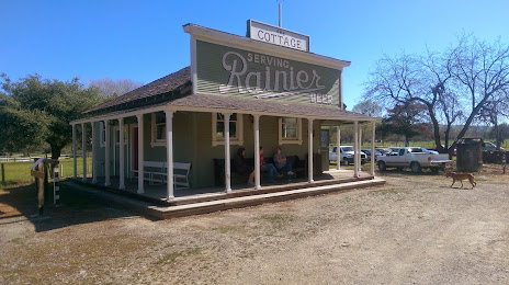
Attractions


Distance to the capital
Distance to the capital (Washington) is about — 3863 km.