 Warren
Romulus
Allen Park
Līhuʻe
Springfield
Fairborn
Piqua
Lima
Duncan
Malibu
Dover
Maple Shade Township
Bakersfield
North Charleston
Midlothian
Lewistown
Newport Beach
Lancaster
Plano
Warren
Romulus
Allen Park
Līhuʻe
Springfield
Fairborn
Piqua
Lima
Duncan
Malibu
Dover
Maple Shade Township
Bakersfield
North Charleston
Midlothian
Lewistown
Newport Beach
Lancaster
Plano
Santa Clara on the map, United States
Where is located Santa Clara
Exact location — Santa Clara, Santa Clara County, California, United States, marked on the map with a red marker.
Coordinates
Santa Clara, United States coordinates in decimal format: latitude — 37.3541079, longitude — -121.9552356. When converted to degrees, minutes, seconds Santa Clara has the following coordinates: 37°21′14.79 north latitude and -121°57′18.85 east longitude.
Population
Santa Clara, Santa Clara County, California, United States, according to our data the population is — 102,250 residents, which is about 0% of the total population of the country (United States).
Comparison of the population on the graph:
Exact time
Time zone for this location Santa Clara — UTC -7 America/Los_Angeles. Exact time — friday, 4 april 2024 year, 04 h. 47 minutes.
Sunrise and sunset
Santa Clara, sunrise and sunset data for a date — friday 19.04.2024.
| Sunrise | Sunset | Day (duration) |
|---|---|---|
| 06:29 -1 minute | 19:44 +1 minute | 13 h. 18 minutes. +2 minutes |
You can control the scale of the map using the auxiliary tools to find out exactly where it is located Santa Clara. When you change the scale of the map, the width of the ruler also changes (in kilometers and miles).
Nearby cities
The largest cities that are located nearby:
- San Jose — 6 km
- Sunnyvale — 7 km
- Fremont — 22 km
- Hayward — 36 km
- Oakland — 57 km
- San Francisco — 62 km
- Berkeley — 64 km
- Concord — 69 km
- Richmond — 71 km
- Salinas — 79 km
- Vallejo — 87 km
- Stockton — 88 km
- Modesto — 90 km
- Fairfield — 99 km
- Santa Rosa — 137 km
- Sacramento — 141 km
- Roseville — 165 km
- Fresno — 205 km
- Visalia — 263 km
Distance to neighboring capitals:
- Mexico City
 (Mexico) — 2978 km
 - Ottawa
 (Canada) — 3906 km
 - Belmopan
 (Belize) — 3936 km
 - Guatemala City
 (Guatemala) — 3999 km
 - Nuuk
 (Greenland) — 5388 km
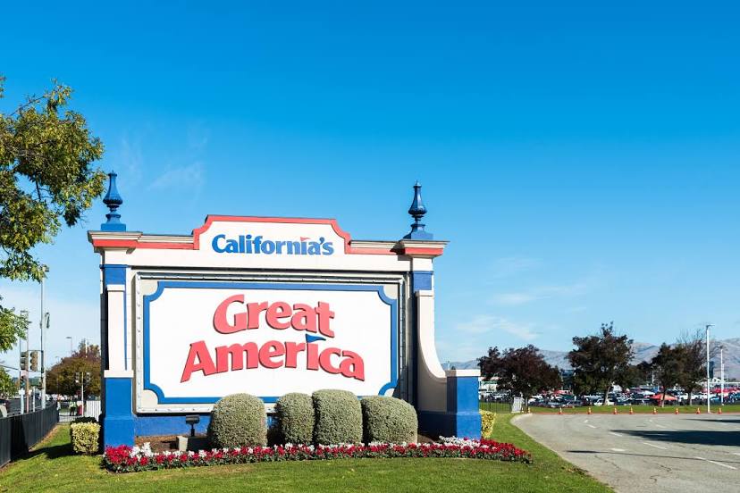
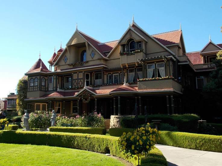
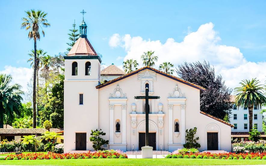
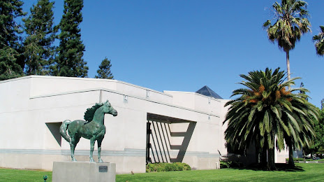
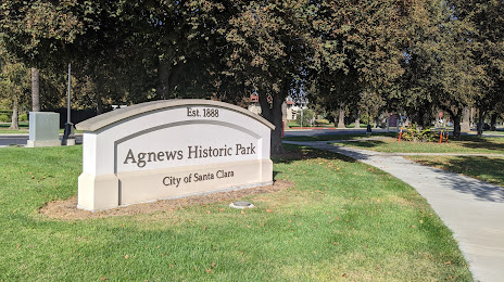
Attractions


Distance to the capital
Distance to the capital (Washington) is about — 3894 km.