 Piqua
Lima
Duncan
Valencia
Wixom
Farmington
Sterling Heights
Holland
Birmingham
Clovis
Fresno
Alice
Willow Grove
Port Gibson
Franklin
Malibu
Dover
Maple Shade Township
Bakersfield
Piqua
Lima
Duncan
Valencia
Wixom
Farmington
Sterling Heights
Holland
Birmingham
Clovis
Fresno
Alice
Willow Grove
Port Gibson
Franklin
Malibu
Dover
Maple Shade Township
Bakersfield
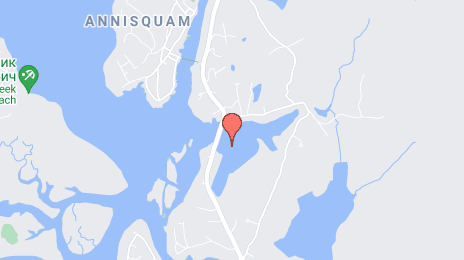
Gloucester on the map, United States
Where is located Gloucester
Exact location — Gloucester, Essex County, Massachusetts, United States, marked on the map with a red marker.
Coordinates
Gloucester, United States coordinates in decimal format: latitude — 42.6159285, longitude — -70.6619888. When converted to degrees, minutes, seconds Gloucester has the following coordinates: 42°36′57.34 north latitude and -70°39′43.16 east longitude.
Population
Gloucester, Essex County, Massachusetts, United States, according to our data the population is — 30,916 residents, which is about 0% of the total population of the country (United States).
Comparison of the population on the graph:
Exact time
Time zone for this location Gloucester — UTC -4 America/New_York. Exact time — friday, 4 april 2024 year, 15 h. 58 minutes.
Sunrise and sunset
Gloucester, sunrise and sunset data for a date — friday 19.04.2024.
| Sunrise | Sunset | Day (duration) |
|---|---|---|
| 05:56 -2 minutes | 19:26 +1 minute | 13 h. 30 minutes. +3 minutes |
You can control the scale of the map using the auxiliary tools to find out exactly where it is located Gloucester. When you change the scale of the map, the width of the ruler also changes (in kilometers and miles).
Nearby cities
The largest cities that are located nearby:
- Boston — 43 km
- Cambridge — 45 km
- Lowell — 53 km
- Manchester — 77 km
- Worcester — 101 km
- Providence — 107 km
- Amherst — 153 km
- Springfield — 168 km
- Hartford — 192 km
- Waterbury — 230 km
- New Haven — 237 km
- Bridgeport — 263 km
- Stamford — 296 km
- Sherbrooke
 (Canada) — 322 km
 - Yonkers — 328 km
- Paterson — 348 km
- New York — 350 km
- Brooklyn — 351 km
- Newark — 360 km
Distance to neighboring capitals:
- Ottawa (Canada) — 509 km
- Nuuk
 (Greenland) — 2682 km
 - Belmopan
 (Belize) — 3301 km
 - Guatemala City
 (Guatemala) — 3649 km
 - Mexico City
 (Mexico) — 3710 km
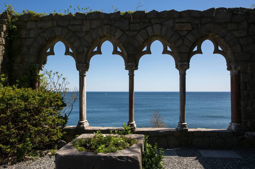
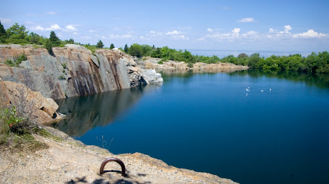
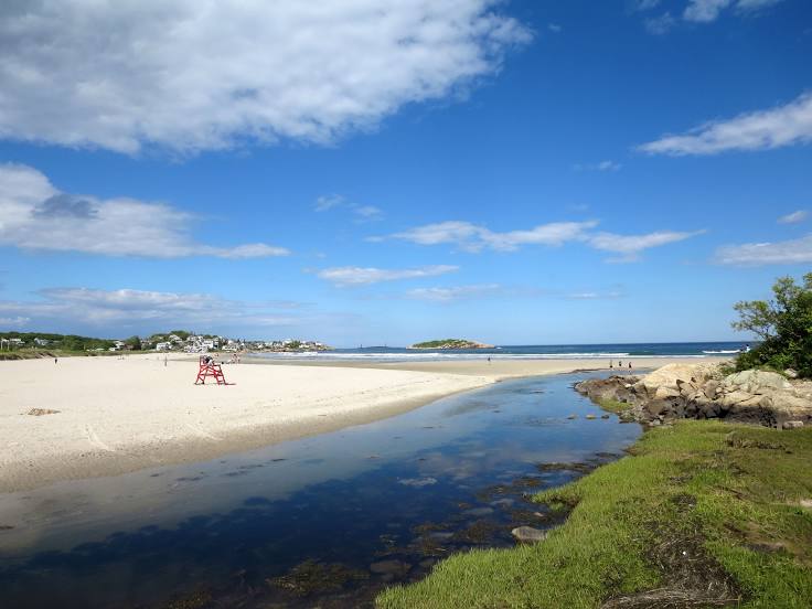
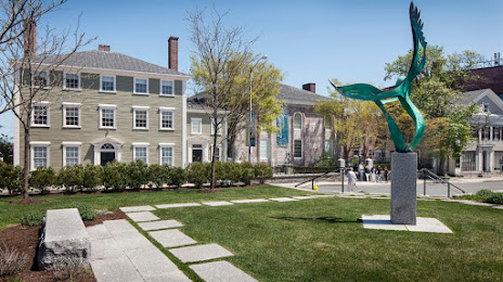
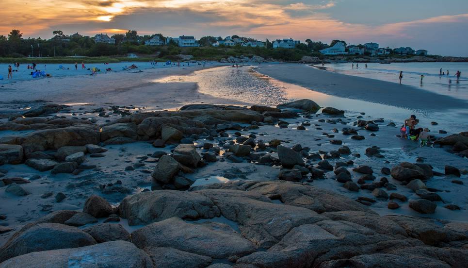
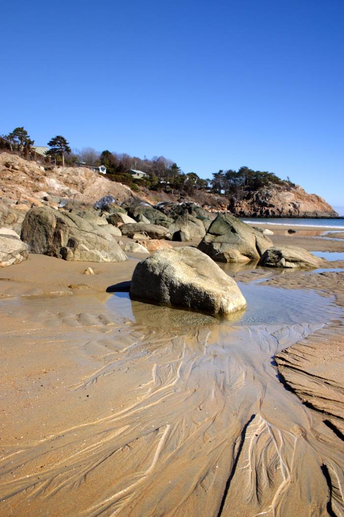
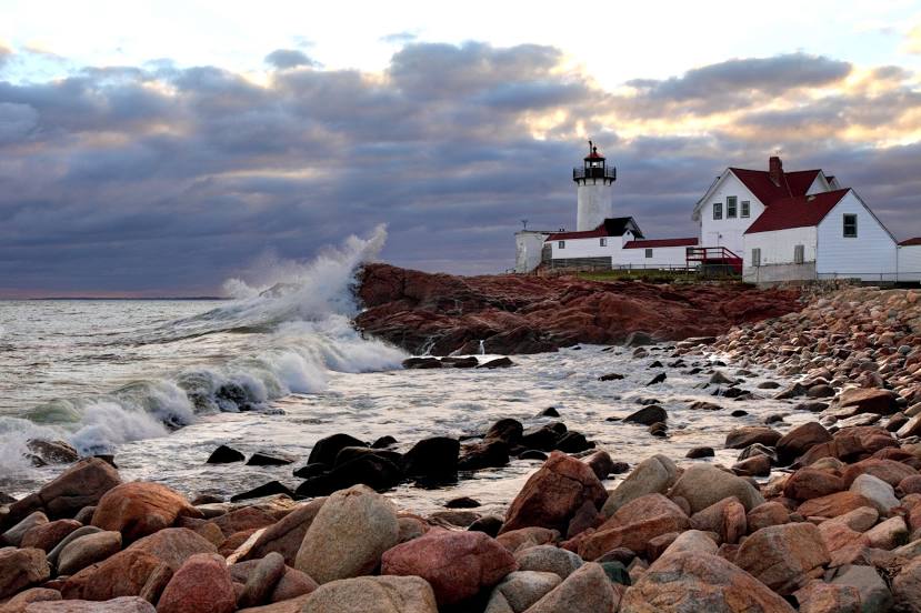
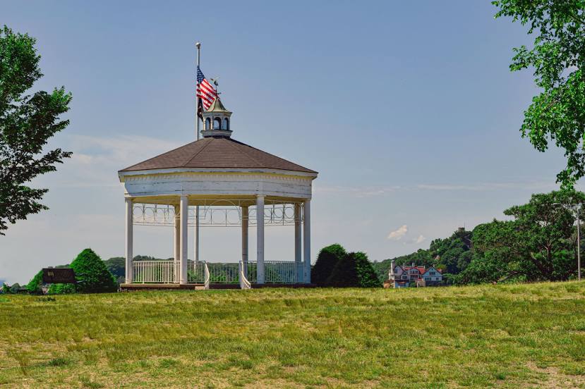
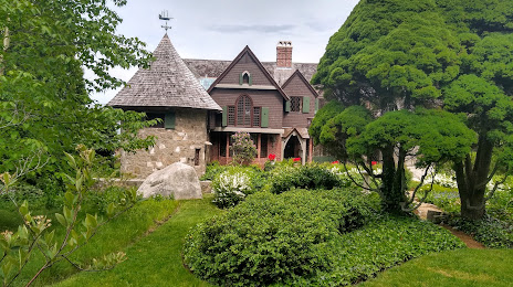
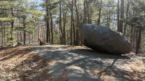
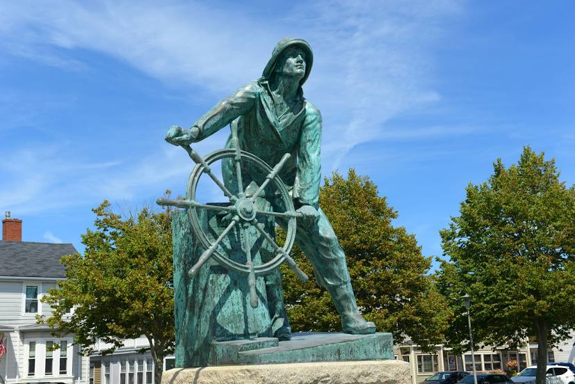
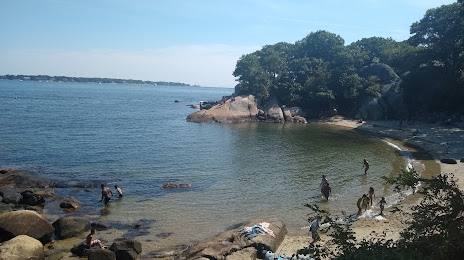
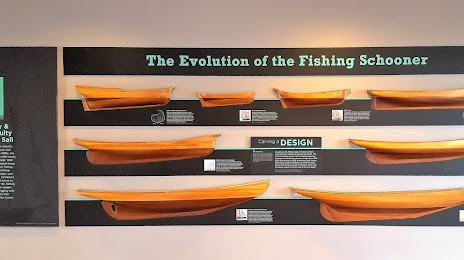
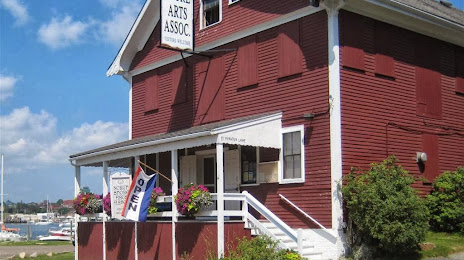
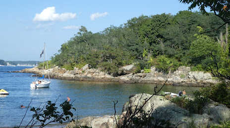
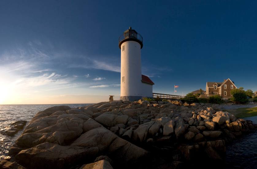
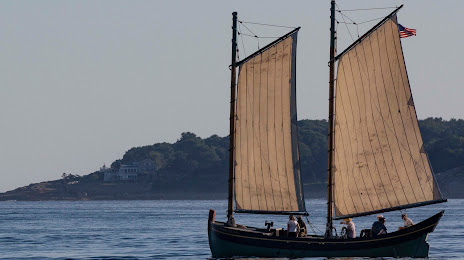
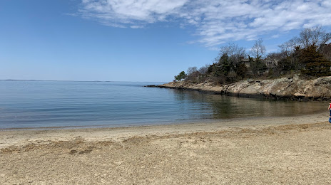
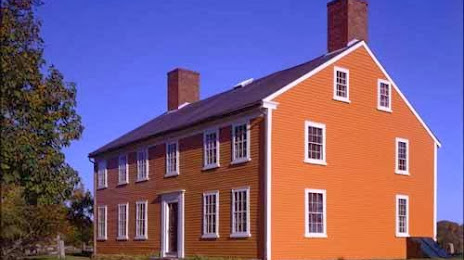
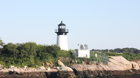
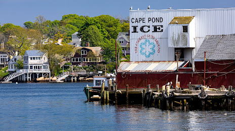
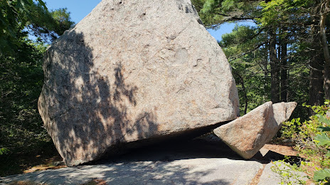
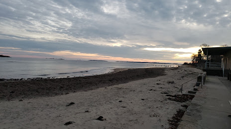
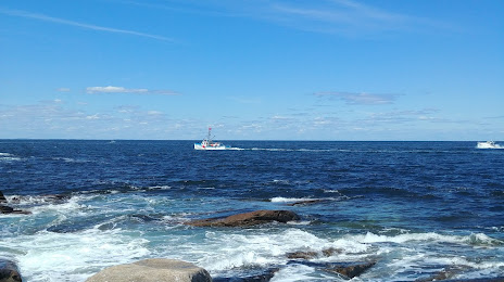
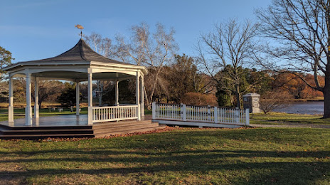
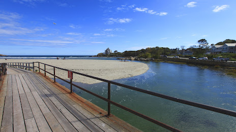
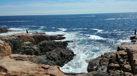
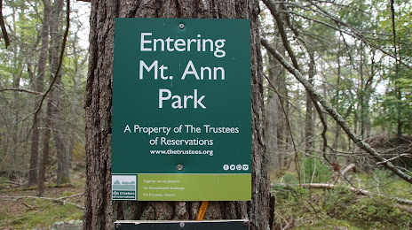
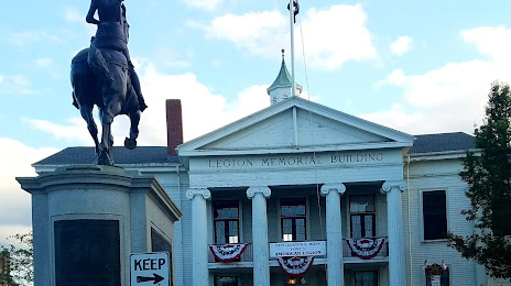
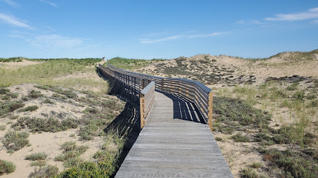
Attractions


Distance to the capital
Distance to the capital (Washington) is about — 677 km.