 Columbia
Elizabethton
Fort Valley
Madisonville
La Vergne
Smyrna/Rutherford County Airport Authority
Holly Springs
Harrisburg
Cookeville
Fort Cobb
Duncan
Kill Devil Hills
Wallace
Warsaw
Angier
Novato
Sulphur
Dunn
Hillsborough
Columbia
Elizabethton
Fort Valley
Madisonville
La Vergne
Smyrna/Rutherford County Airport Authority
Holly Springs
Harrisburg
Cookeville
Fort Cobb
Duncan
Kill Devil Hills
Wallace
Warsaw
Angier
Novato
Sulphur
Dunn
Hillsborough
Placerville on the map, United States
Where is located Placerville
Exact location — Placerville, El Dorado County, California, United States, marked on the map with a red marker.
Coordinates
Placerville, United States coordinates in decimal format: latitude — 38.7296252, longitude — -120.798546. When converted to degrees, minutes, seconds Placerville has the following coordinates: 38°43′46.65 north latitude and -120°47′54.77 east longitude.
Population
Placerville, El Dorado County, California, United States, according to our data the population is — 10,274 residents, which is about 0% of the total population of the country (United States).
Comparison of the population on the graph:
Exact time
Time zone for this location Placerville — UTC -7 America/Los_Angeles. Exact time — wednesday, 4 april 2024 year, 19 h. 25 minutes.
Sunrise and sunset
Placerville, sunrise and sunset data for a date — wednesday 24.04.2024.
| Sunrise | Sunset | Day (duration) |
|---|---|---|
| 06:16 -1 minute | 19:46 +1 minute | 13 h. 30 minutes. +2 minutes |
You can control the scale of the map using the auxiliary tools to find out exactly where it is located Placerville. When you change the scale of the map, the width of the ruler also changes (in kilometers and miles).
Nearby cities
The largest cities that are located nearby:
- Roseville — 42 km
- Sacramento — 62 km
- Stockton — 96 km
- Fairfield — 120 km
- Modesto — 122 km
- Reno — 122 km
- Concord — 136 km
- Vallejo — 144 km
- Berkeley — 160 km
- Hayward — 162 km
- Richmond — 163 km
- Oakland — 164 km
- Fremont — 167 km
- Santa Rosa — 169 km
- San Francisco — 177 km
- San Jose — 181 km
- Santa Clara — 183 km
- Sunnyvale — 186 km
- Fresno — 237 km
Distance to neighboring capitals:
- Mexico City
 (Mexico) — 2991 km
 - Ottawa
 (Canada) — 3746 km
 - Belmopan
 (Belize) — 3915 km
 - Guatemala City
 (Guatemala) — 3995 km
 - Nuuk
 (Greenland) — 5205 km
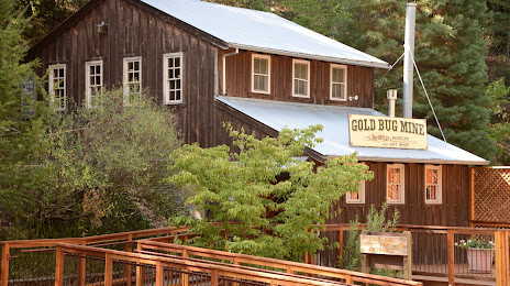
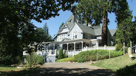
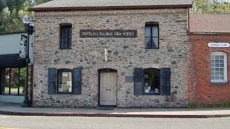
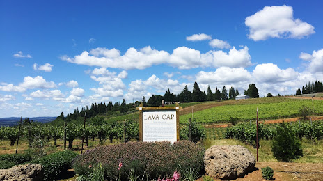
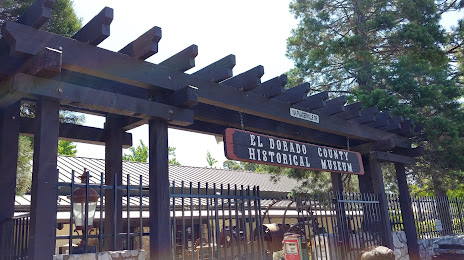
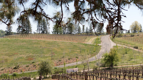
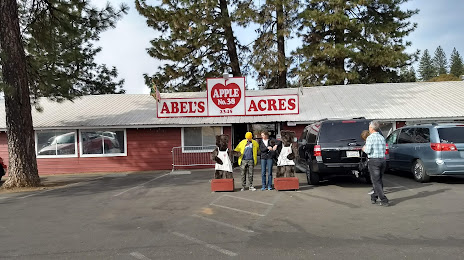
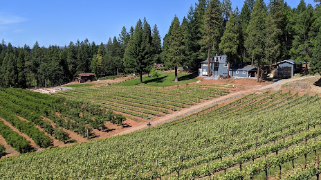
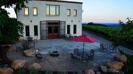
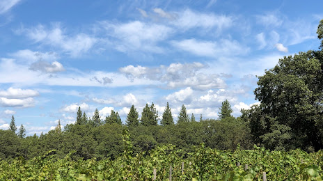
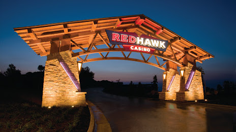
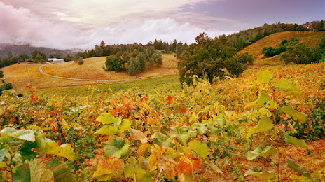
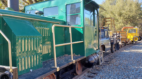
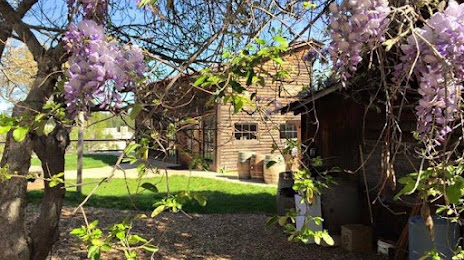
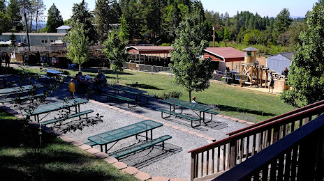
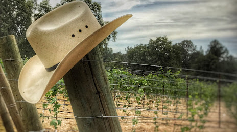
Attractions


Distance to the capital
Distance to the capital (Washington) is about — 3755 km.