 Martin County
Hendersonville
Huntersville
Spartanburg
Lenoir
Ravenel
Piedmont
Kings Mountain
Mount Holly
Deer Lodge
Palm Beach Gardens
Glasgow
Covington
Statesville
Wilson
High Point
Goldsboro
Placerville
Dothan
Martin County
Hendersonville
Huntersville
Spartanburg
Lenoir
Ravenel
Piedmont
Kings Mountain
Mount Holly
Deer Lodge
Palm Beach Gardens
Glasgow
Covington
Statesville
Wilson
High Point
Goldsboro
Placerville
Dothan
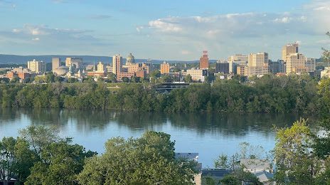
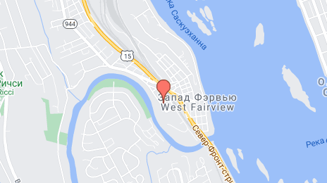
Harrisburg on the map, United States
Where is located Harrisburg
Exact location — Harrisburg, Dauphin County, Pennsylvania, United States, marked on the map with a red marker.
Coordinates
Harrisburg, United States coordinates in decimal format: latitude — 40.2731911, longitude — -76.8867008. When converted to degrees, minutes, seconds Harrisburg has the following coordinates: 40°16′23.49 north latitude and -76°53′12.12 east longitude.
Population
Harrisburg, Dauphin County, Pennsylvania, United States, according to our data the population is — 47,840 residents, which is about 0% of the total population of the country (United States).
Comparison of the population on the graph:
Exact time
Time zone for this location Harrisburg — UTC -4 America/New_York. Exact time — friday, 4 april 2024 year, 13 h. 58 minutes.
Sunrise and sunset
Harrisburg, sunrise and sunset data for a date — friday 19.04.2024.
| Sunrise | Sunset | Day (duration) |
|---|---|---|
| 06:25 -1 minute | 19:47 +1 minute | 13 h. 24 minutes. +2 minutes |
You can control the scale of the map using the auxiliary tools to find out exactly where it is located Harrisburg. When you change the scale of the map, the width of the ruler also changes (in kilometers and miles).
Nearby cities
The largest cities that are located nearby:
- Baltimore — 111 km
- Allentown — 123 km
- Philadelphia — 150 km
- Alexandria — 163 km
- Edison — 210 km
- Elizabeth — 229 km
- Toms River — 231 km
- Newark — 233 km
- Paterson — 238 km
- New York — 246 km
- Brooklyn — 247 km
- Yonkers — 260 km
- Pittsburgh — 262 km
- Stamford — 292 km
- Boston — 301 km
- Richmond — 306 km
- Syracuse — 313 km
- Bridgeport — 323 km
- Rochester — 325 km
Distance to neighboring capitals:
- Ottawa
 (Canada) — 581 km
 - Belmopan
 (Belize) — 2804 km
 - Nuuk
 (Greenland) — 3117 km
 - Mexico City
 (Mexico) — 3140 km
 - Guatemala City
 (Guatemala) — 3147 km
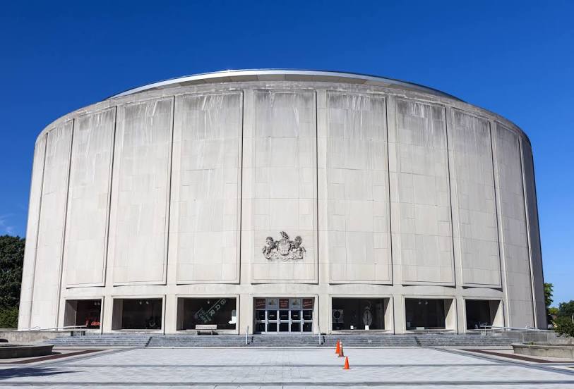
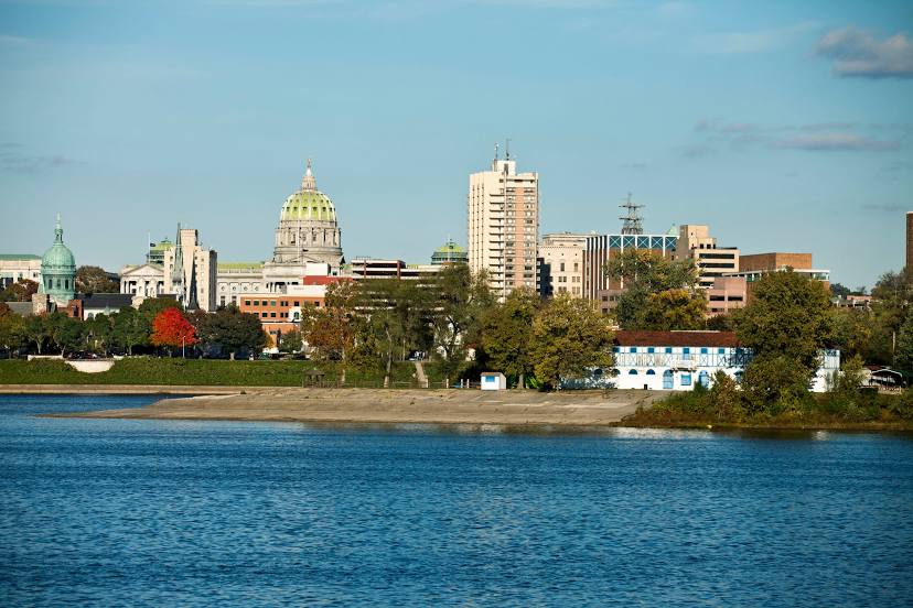
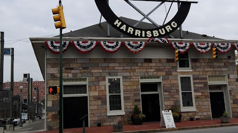
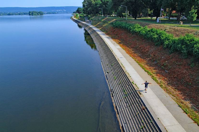
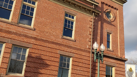
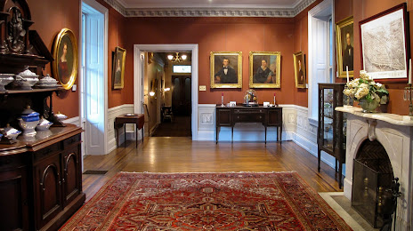
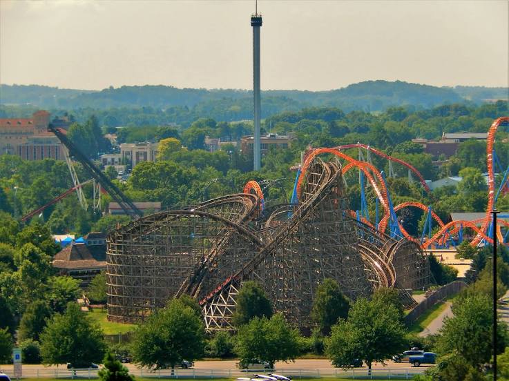
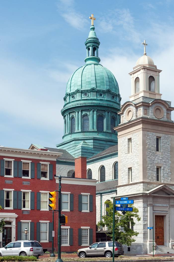
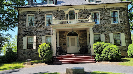
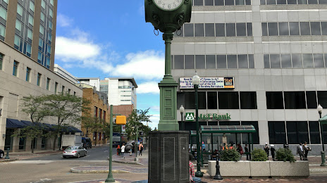
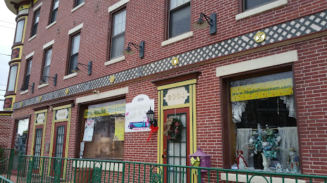
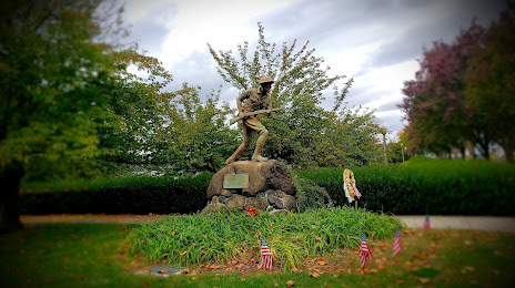
Attractions


Distance to the capital
Distance to the capital (Washington) is about — 152 km.