 North Las Vegas
Mandeville
Oxnard
Syosset
Kinston
Hamilton
Jackson
Edwards County
Waukesha
Martin County
Avila Beach
Fort Bragg
Crossville
Princeton
Goodlettsville
Marysville
Tullahoma
Mount Juliet
Paducah
North Las Vegas
Mandeville
Oxnard
Syosset
Kinston
Hamilton
Jackson
Edwards County
Waukesha
Martin County
Avila Beach
Fort Bragg
Crossville
Princeton
Goodlettsville
Marysville
Tullahoma
Mount Juliet
Paducah
Laurinburg on the map, United States
Where is located Laurinburg
Exact location — Laurinburg, Scotland County, North Carolina, United States, marked on the map with a red marker.
Coordinates
Laurinburg, United States coordinates in decimal format: latitude — 34.7740494, longitude — -79.4628248. When converted to degrees, minutes, seconds Laurinburg has the following coordinates: 34°46′26.58 north latitude and -79°27′46.17 east longitude.
Population
Laurinburg, Scotland County, North Carolina, United States, according to our data the population is — 15,268 residents, which is about 0% of the total population of the country (United States).
Comparison of the population on the graph:
Exact time
Time zone for this location Laurinburg — UTC -4 America/New_York. Exact time — tuesday, 4 april 2024 year, 03 h. 36 minutes.
Sunrise and sunset
Laurinburg, sunrise and sunset data for a date — tuesday 23.04.2024.
| Sunrise | Sunset | Day (duration) |
|---|---|---|
| 06:38 -1 minute | 19:53 -0 minutes | 13 h. 18 minutes. +1 minute |
You can control the scale of the map using the auxiliary tools to find out exactly where it is located Laurinburg. When you change the scale of the map, the width of the ruler also changes (in kilometers and miles).
Nearby cities
The largest cities that are located nearby:
- Fayetteville — 61 km
- Cary — 128 km
- Raleigh — 134 km
- Charlotte — 134 km
- Durham — 144 km
- Greensboro — 147 km
- Winston-Salem — 162 km
- Columbia — 168 km
- Charleston — 225 km
- Savannah — 335 km
- Richmond — 354 km
- Chesapeake — 357 km
- Norfolk — 363 km
- Hampton — 371 km
- Virginia Beach — 385 km
- Knoxville — 420 km
- Atlanta — 467 km
- Alexandria — 492 km
- Chattanooga — 530 km
Distance to neighboring capitals:
- Ottawa
 (Canada) — 1226 km
 - Belmopan
 (Belize) — 2157 km
 - Guatemala City
 (Guatemala) — 2502 km
 - Mexico City
 (Mexico) — 2580 km
 - Nuuk
 (Greenland) — 3769 km
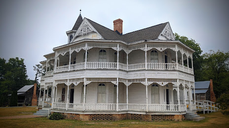
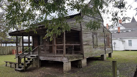
Attractions

Distance to the capital
Distance to the capital (Washington) is about — 508 km.