 Oxnard
Syosset
Kinston
Hamilton
Jackson
Edwards County
Waukesha
Fairfield
Marble Falls
Huntersville
Hendersonville
Martin County
Avila Beach
Fort Bragg
Crossville
Princeton
Goodlettsville
Marysville
Tullahoma
Oxnard
Syosset
Kinston
Hamilton
Jackson
Edwards County
Waukesha
Fairfield
Marble Falls
Huntersville
Hendersonville
Martin County
Avila Beach
Fort Bragg
Crossville
Princeton
Goodlettsville
Marysville
Tullahoma
Littleton on the map, United States
Where is located Littleton
Exact location — Littleton, Arapahoe County, Colorado, United States, marked on the map with a red marker.
Coordinates
Littleton, United States coordinates in decimal format: latitude — 39.613321, longitude — -105.0166498. When converted to degrees, minutes, seconds Littleton has the following coordinates: 39°36′47.96 north latitude and -105°0′59.94 east longitude.
Population
Littleton, Arapahoe County, Colorado, United States, according to our data the population is — 40,947 residents, which is about 0% of the total population of the country (United States).
Comparison of the population on the graph:
Exact time
Time zone for this location Littleton — UTC -6 America/Denver. Exact time — friday, 4 april 2024 year, 18 h. 58 minutes.
Sunrise and sunset
Littleton, sunrise and sunset data for a date — friday 19.04.2024.
| Sunrise | Sunset | Day (duration) |
|---|---|---|
| 06:18 -2 minutes | 19:39 +1 minute | 13 h. 24 minutes. +3 minutes |
You can control the scale of the map using the auxiliary tools to find out exactly where it is located Littleton. When you change the scale of the map, the width of the ruler also changes (in kilometers and miles).
Nearby cities
The largest cities that are located nearby:
- Lakewood — 11 km
- Denver — 14 km
- Aurora — 20 km
- Arvada — 22 km
- Westminster — 25 km
- Thornton — 28 km
- Colorado Springs — 88 km
- Fort Collins — 108 km
- Pueblo — 154 km
- Albuquerque — 521 km
- Valencia — 554 km
- Amarillo — 564 km
- Provo — 565 km
- Salt Lake City — 589 km
- West Jordan — 591 km
- West Valley City — 598 km
- Wichita — 705 km
- Lincoln — 710 km
- Lubbock — 728 km
Distance to neighboring capitals:
- Mexico City
 (Mexico) — 2314 km
 - Ottawa
 (Canada) — 2474 km
 - Belmopan
 (Belize) — 2941 km
 - Guatemala City
 (Guatemala) — 3119 km
 - Nuuk
 (Greenland) — 4364 km
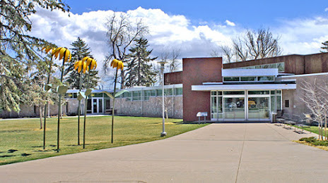
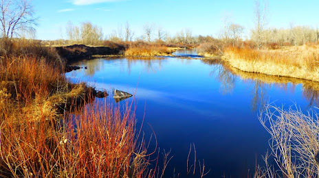
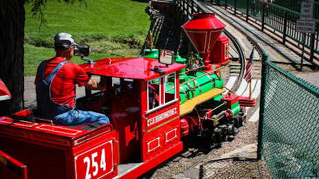
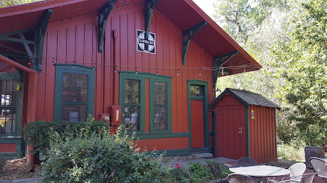
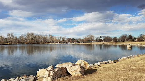
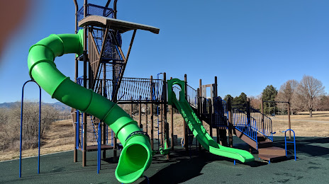
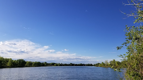
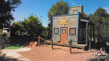
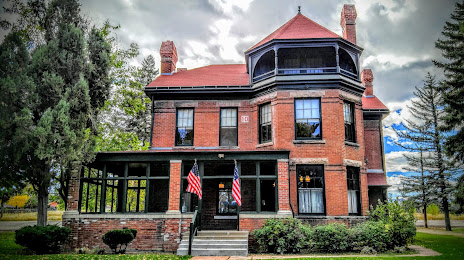
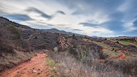
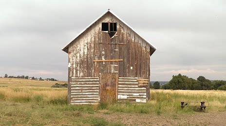
Attractions


Distance to the capital
Distance to the capital (Washington) is about — 2401 km.