 Jackson
Edwards County
Waukesha
Fairfield
Marble Falls
Hayward
Schiller Park
Concord
Stringtown
Piedmont
Ravenel
Lenoir
Spartanburg
Huntersville
Hendersonville
Martin County
Avila Beach
Fort Bragg
Crossville
Jackson
Edwards County
Waukesha
Fairfield
Marble Falls
Hayward
Schiller Park
Concord
Stringtown
Piedmont
Ravenel
Lenoir
Spartanburg
Huntersville
Hendersonville
Martin County
Avila Beach
Fort Bragg
Crossville
Trenton on the map, United States
Where is located Trenton
Exact location — Trenton, Mercer County, New Jersey, United States, marked on the map with a red marker.
Coordinates
Trenton, United States coordinates in decimal format: latitude — 40.2170534, longitude — -74.7429384. When converted to degrees, minutes, seconds Trenton has the following coordinates: 40°13′1.39 north latitude and -74°44′34.58 east longitude.
Population
Trenton, Mercer County, New Jersey, United States, according to our data the population is — 84,833 residents, which is about 0% of the total population of the country (United States).
Comparison of the population on the graph:
Exact time
Time zone for this location Trenton — UTC -4 America/New_York. Exact time — thursday, 4 april 2024 year, 19 h. 44 minutes.
Sunrise and sunset
Trenton, sunrise and sunset data for a date — thursday 25.04.2024.
| Sunrise | Sunset | Day (duration) |
|---|---|---|
| 06:08 -1 minute | 19:45 +1 minute | 13 h. 36 minutes. +2 minutes |
You can control the scale of the map using the auxiliary tools to find out exactly where it is located Trenton. When you change the scale of the map, the width of the ruler also changes (in kilometers and miles).
Nearby cities
The largest cities that are located nearby:
- Edison — 43 km
- Philadelphia — 46 km
- Toms River — 55 km
- Elizabeth — 67 km
- Newark — 75 km
- Allentown — 76 km
- Brooklyn — 82 km
- New York — 83 km
- Paterson — 91 km
- Yonkers — 106 km
- Stamford — 136 km
- Bridgeport — 168 km
- Baltimore — 190 km
- New Haven — 193 km
- Waterbury — 204 km
- Hartford — 241 km
- Alexandria — 253 km
- Springfield — 273 km
- Amherst — 298 km
Distance to neighboring capitals:
- Ottawa
 (Canada) — 584 km
 - Belmopan
 (Belize) — 2889 km
 - Nuuk
 (Greenland) — 3053 km
 - Guatemala City
 (Guatemala) — 3235 km
 - Mexico City
 (Mexico) — 3277 km
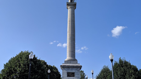
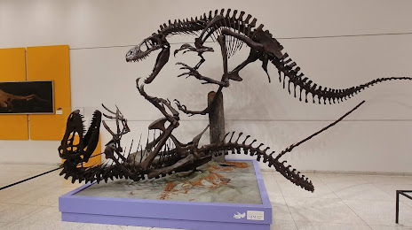
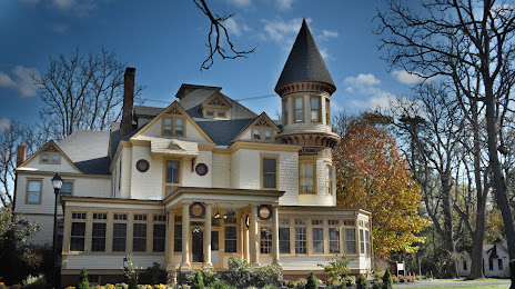
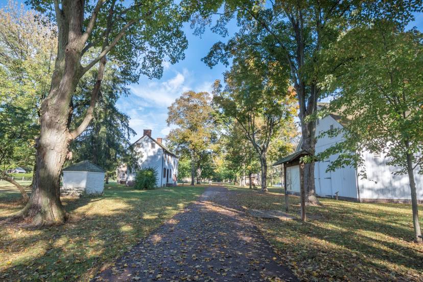
Attractions


Distance to the capital
Distance to the capital (Washington) is about — 245 km.