 Stringtown
Sisters
Cherry Hill
Egg Harbor Township
Hammonton
Tuckerton
Roseburg
Absecon
San Rafael
Johnson City
Littleton
Kingsport
Laurinburg
Conover
Mooresville
Mount Holly
Kings Mountain
Piedmont
Ravenel
Stringtown
Sisters
Cherry Hill
Egg Harbor Township
Hammonton
Tuckerton
Roseburg
Absecon
San Rafael
Johnson City
Littleton
Kingsport
Laurinburg
Conover
Mooresville
Mount Holly
Kings Mountain
Piedmont
Ravenel
Oxnard on the map, United States
Where is located Oxnard
Exact location — Oxnard, Ventura County, California, United States, marked on the map with a red marker.
Coordinates
Oxnard, United States coordinates in decimal format: latitude — 34.1975048, longitude — -119.1770516. When converted to degrees, minutes, seconds Oxnard has the following coordinates: 34°11′51.02 north latitude and -119°10′37.39 east longitude.
Population
Oxnard, Ventura County, California, United States, according to our data the population is — 187,235 residents, which is about 0.1% of the total population of the country (United States).
Comparison of the population on the graph:
Exact time
Time zone for this location Oxnard — UTC -7 America/Los_Angeles. Exact time — friday, 4 april 2024 year, 19 h. 49 minutes.
Sunrise and sunset
Oxnard, sunrise and sunset data for a date — friday 19.04.2024.
| Sunrise | Sunset | Day (duration) |
|---|---|---|
| 06:22 -1 minute | 19:28 -0 minutes | 13 h. 6 minutes. +1 minute |
You can control the scale of the map using the auxiliary tools to find out exactly where it is located Oxnard. When you change the scale of the map, the width of the ruler also changes (in kilometers and miles).
Nearby cities
The largest cities that are located nearby:
- Thousand Oaks — 31 km
- Simi Valley — 37 km
- Santa Clarita — 59 km
- Santa Clarita — 62 km
- Universal City — 76 km
- Burbank — 79 km
- Inglewood — 80 km
- Glendale — 85 km
- Torrance — 87 km
- Los Angeles — 87 km
- East Los Angeles — 95 km
- Pasadena — 95 km
- Downey — 100 km
- Long Beach — 102 km
- Palmdale — 105 km
- Norwalk — 106 km
- El Monte — 106 km
- Lancaster — 108 km
- West Covina — 114 km
Distance to neighboring capitals:
- Mexico City
 (Mexico) — 2571 km
 - Belmopan
 (Belize) — 3561 km
 - Guatemala City
 (Guatemala) — 3605 km
 - Ottawa
 (Canada) — 3866 km
 - Nuuk
 (Greenland) — 5550 km
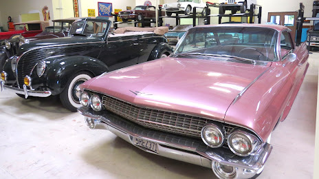
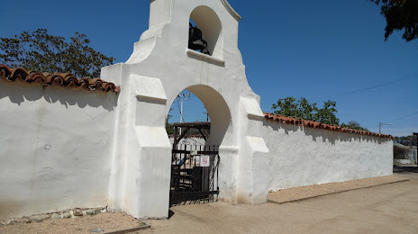
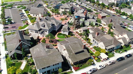
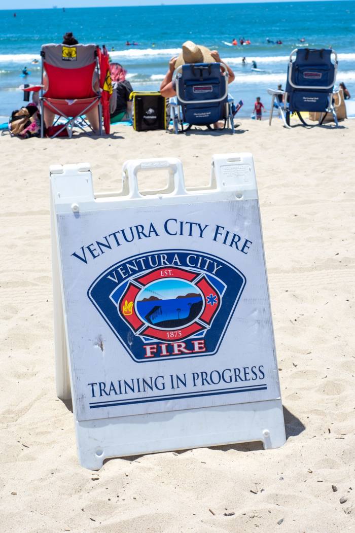
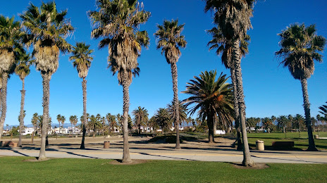
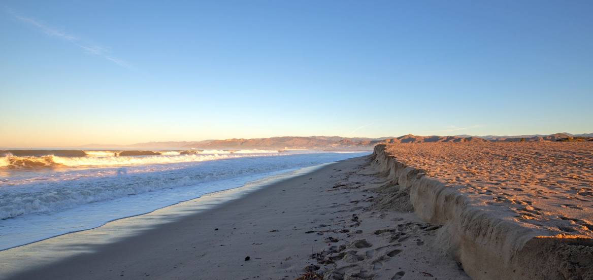
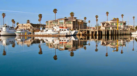
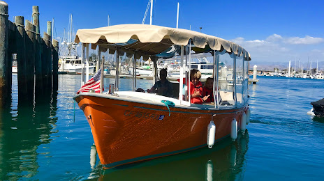
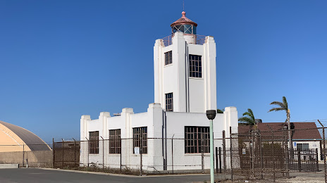
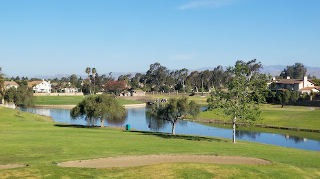
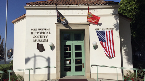
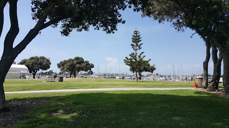
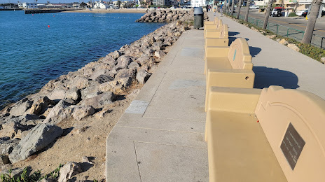
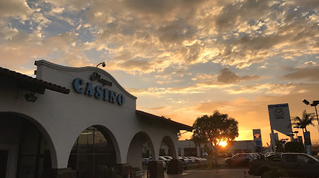
Attractions


Distance to the capital
Distance to the capital (Washington) is about — 3768 km.