 Medina
Wadsworth
Medford
New Castle
Bridgeville
Perryopolis
Marion Airport
Derwent
Friedens
Fairfield
Waukesha
Edwards County
Jackson
Hamilton
Kinston
Syosset
Oxnard
Mandeville
North Las Vegas
Medina
Wadsworth
Medford
New Castle
Bridgeville
Perryopolis
Marion Airport
Derwent
Friedens
Fairfield
Waukesha
Edwards County
Jackson
Hamilton
Kinston
Syosset
Oxnard
Mandeville
North Las Vegas
Roseburg on the map, United States
Where is located Roseburg
Exact location — Roseburg, Douglas County, Oregon, United States, marked on the map with a red marker.
Coordinates
Roseburg, United States coordinates in decimal format: latitude — 43.216505, longitude — -123.3417381. When converted to degrees, minutes, seconds Roseburg has the following coordinates: 43°12′59.42 north latitude and -123°20′30.26 east longitude.
Population
Roseburg, Douglas County, Oregon, United States, according to our data the population is — 20,430 residents, which is about 0% of the total population of the country (United States).
Comparison of the population on the graph:
Exact time
Time zone for this location Roseburg — UTC -7 America/Los_Angeles. Exact time — wednesday, 4 april 2024 year, 02 h. 47 minutes.
Sunrise and sunset
Roseburg, sunrise and sunset data for a date — wednesday 24.04.2024.
| Sunrise | Sunset | Day (duration) |
|---|---|---|
| 06:18 -2 minutes | 20:03 +1 minute | 13 h. 48 minutes. +3 minutes |
You can control the scale of the map using the auxiliary tools to find out exactly where it is located Roseburg. When you change the scale of the map, the width of the ruler also changes (in kilometers and miles).
Nearby cities
The largest cities that are located nearby:
- Eugene — 95 km
- Salem — 192 km
- Portland — 260 km
- Vancouver — 273 km
- Tacoma — 451 km
- Seattle — 491 km
- Bellevue — 493 km
- Reno — 507 km
- Roseville — 524 km
- Santa Rosa — 531 km
- Sacramento — 537 km
- Fairfield — 561 km
- Boise — 572 km
- Vallejo — 573 km
- Victoria
 (Canada) — 576 km
 - Concord — 590 km
- Richmond — 593 km
- Berkeley — 598 km
- Oakland — 606 km
Distance to neighboring capitals:
- Mexico City
 (Mexico) — 3479 km
 - Ottawa (Canada) — 3744 km
- Belmopan
 (Belize) — 4348 km
 - Guatemala City
 (Guatemala) — 4455 km
 - Nuuk
 (Greenland) — 4919 km
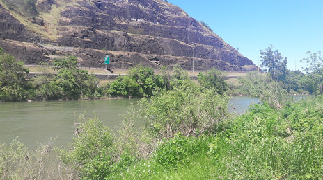
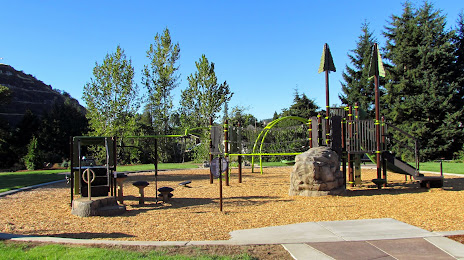
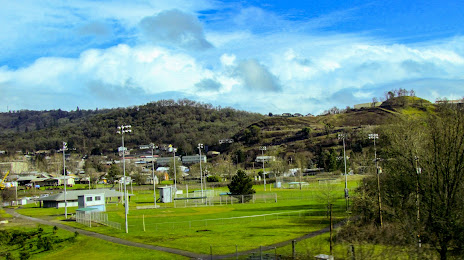
Attractions


Distance to the capital
Distance to the capital (Washington) is about — 3863 km.