 Medford
New Castle
Bridgeville
Perryopolis
Marion Airport
Derwent
Friedens
Mount Vernon
Mercer
Hayward
Marble Falls
Fairfield
Waukesha
Edwards County
Jackson
Hamilton
Kinston
Syosset
Oxnard
Medford
New Castle
Bridgeville
Perryopolis
Marion Airport
Derwent
Friedens
Mount Vernon
Mercer
Hayward
Marble Falls
Fairfield
Waukesha
Edwards County
Jackson
Hamilton
Kinston
Syosset
Oxnard
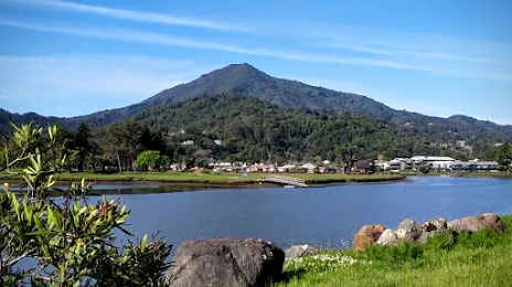
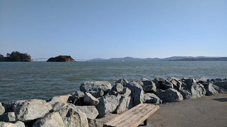
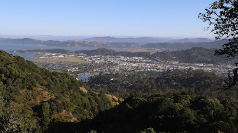
San Rafael on the map, United States
Where is located San Rafael
Exact location — San Rafael, Marin County, California, United States, marked on the map with a red marker.
Coordinates
San Rafael, United States coordinates in decimal format: latitude — 37.9735346, longitude — -122.5310874. When converted to degrees, minutes, seconds San Rafael has the following coordinates: 37°58′24.72 north latitude and -122°31′51.91 east longitude.
Population
San Rafael, Marin County, California, United States, according to our data the population is — 55,270 residents, which is about 0% of the total population of the country (United States).
Comparison of the population on the graph:
Exact time
Time zone for this location San Rafael — UTC -7 America/Los_Angeles. Exact time — wednesday, 4 april 2024 year, 12 h. 23 minutes.
Sunrise and sunset
San Rafael, sunrise and sunset data for a date — wednesday 24.04.2024.
| Sunrise | Sunset | Day (duration) |
|---|---|---|
| 06:24 -1 minute | 19:51 +1 minute | 13 h. 30 minutes. +2 minutes |
You can control the scale of the map using the auxiliary tools to find out exactly where it is located San Rafael. When you change the scale of the map, the width of the ruler also changes (in kilometers and miles).
Nearby cities
The largest cities that are located nearby:
- Richmond — 17 km
- San Francisco — 24 km
- Berkeley — 25 km
- Vallejo — 28 km
- Oakland — 29 km
- Concord — 44 km
- Hayward — 52 km
- Fairfield — 52 km
- Santa Rosa — 54 km
- Fremont — 67 km
- Sunnyvale — 80 km
- Santa Clara — 85 km
- San Jose — 90 km
- Stockton — 108 km
- Sacramento — 112 km
- Roseville — 137 km
- Modesto — 139 km
- Salinas — 163 km
- Fresno — 279 km
Distance to neighboring capitals:
- Mexico City
 (Mexico) — 3059 km
 - Ottawa
 (Canada) — 3919 km
 - Belmopan
 (Belize) — 4012 km
 - Guatemala City
 (Guatemala) — 4078 km
 - Nuuk
 (Greenland) — 5359 km
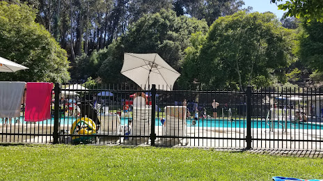
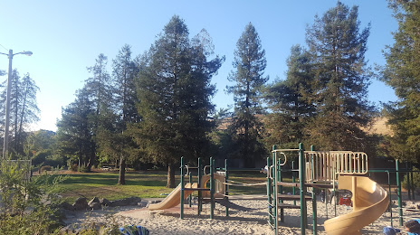
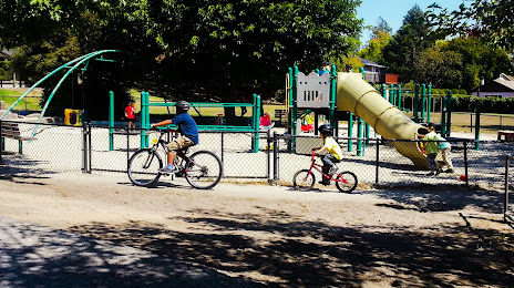
Attractions


Distance to the capital
Distance to the capital (Washington) is about — 3923 km.