 Bridgeville
Perryopolis
Marion Airport
Derwent
Friedens
Mount Vernon
Mercer
Baytown
Carlinville
Concord
Schiller Park
Hayward
Marble Falls
Fairfield
Waukesha
Edwards County
Jackson
Hamilton
Kinston
Bridgeville
Perryopolis
Marion Airport
Derwent
Friedens
Mount Vernon
Mercer
Baytown
Carlinville
Concord
Schiller Park
Hayward
Marble Falls
Fairfield
Waukesha
Edwards County
Jackson
Hamilton
Kinston
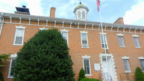
Chambersburg on the map, United States
Where is located Chambersburg
Exact location — Chambersburg, Franklin County, Pennsylvania, United States, marked on the map with a red marker.
Coordinates
Chambersburg, United States coordinates in decimal format: latitude — 39.9375911, longitude — -77.6611022. When converted to degrees, minutes, seconds Chambersburg has the following coordinates: 39°56′15.33 north latitude and -77°39′39.97 east longitude.
Population
Chambersburg, Franklin County, Pennsylvania, United States, according to our data the population is — 17,884 residents, which is about 0% of the total population of the country (United States).
Comparison of the population on the graph:
Exact time
Time zone for this location Chambersburg — UTC -4 America/New_York. Exact time — tuesday, 4 april 2024 year, 13 h. 09 minutes.
Sunrise and sunset
Chambersburg, sunrise and sunset data for a date — tuesday 23.04.2024.
| Sunrise | Sunset | Day (duration) |
|---|---|---|
| 06:23 -1 minute | 19:54 +1 minute | 13 h. 30 minutes. +2 minutes |
You can control the scale of the map using the auxiliary tools to find out exactly where it is located Chambersburg. When you change the scale of the map, the width of the ruler also changes (in kilometers and miles).
Nearby cities
The largest cities that are located nearby:
- Baltimore — 115 km
- Alexandria — 136 km
- Allentown — 197 km
- Pittsburgh — 204 km
- Philadelphia — 212 km
- Richmond — 266 km
- Edison — 281 km
- Toms River — 294 km
- Elizabeth — 300 km
- Newark — 305 km
- Boston — 310 km
- Paterson — 311 km
- New York — 318 km
- Brooklyn — 319 km
- Yonkers — 333 km
- Buffalo — 341 km
- Hampton — 342 km
- Aurora — 342 km
- Akron — 345 km
Distance to neighboring capitals:
- Ottawa
 (Canada) — 631 km
 - Belmopan
 (Belize) — 2741 km
 - Mexico City
 (Mexico) — 3066 km
 - Guatemala City
 (Guatemala) — 3083 km
 - Nuuk
 (Greenland) — 3178 km
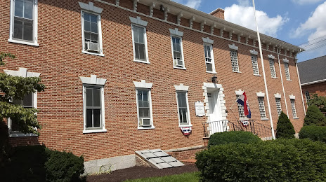
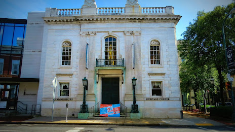
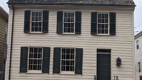
Attractions

Distance to the capital
Distance to the capital (Washington) is about — 127 km.