 Raymore
Kearney
Hollister
Shawnee
Kansas City
Higginsville
Lawrence
North Highlands
Powhattan
Medina
Mechanicsburg
Gratz
York
Clearfield
Bird in Hand
Hummelstown
Bellefonte
Chambersburg
Altoona
Raymore
Kearney
Hollister
Shawnee
Kansas City
Higginsville
Lawrence
North Highlands
Powhattan
Medina
Mechanicsburg
Gratz
York
Clearfield
Bird in Hand
Hummelstown
Bellefonte
Chambersburg
Altoona
Baytown on the map, United States
Where is located Baytown
Exact location — Baytown, Harris County, Texas, United States, marked on the map with a red marker.
Coordinates
Baytown, United States coordinates in decimal format: latitude — 29.7355047, longitude — -94.9774274. When converted to degrees, minutes, seconds Baytown has the following coordinates: 29°44′7.82 north latitude and -94°58′38.74 east longitude.
Population
Baytown, Harris County, Texas, United States, according to our data the population is — 67,341 residents, which is about 0% of the total population of the country (United States).
Comparison of the population on the graph:
Exact time
Time zone for this location Baytown — UTC -5 America/Chicago. Exact time — thursday, 4 april 2024 year, 14 h. 56 minutes.
Sunrise and sunset
Baytown, sunrise and sunset data for a date — thursday 25.04.2024.
| Sunrise | Sunset | Day (duration) |
|---|---|---|
| 06:44 -1 minute | 19:50 -0 minutes | 13 h. 6 minutes. +1 minute |
You can control the scale of the map using the auxiliary tools to find out exactly where it is located Baytown. When you change the scale of the map, the width of the ruler also changes (in kilometers and miles).
Nearby cities
The largest cities that are located nearby:
- Houston — 38 km
- Beaumont — 90 km
- Austin — 271 km
- Waco — 286 km
- Lafayette — 288 km
- Killeen — 302 km
- Corpus Christi — 319 km
- Shreveport — 329 km
- San Antonio — 340 km
- Mesquite — 367 km
- Baton Rouge — 374 km
- Dallas — 376 km
- Grand Prairie — 382 km
- Garland — 384 km
- Arlington — 386 km
- Irving — 387 km
- Richardson — 391 km
- Plano — 397 km
- Fort Worth — 399 km
Distance to neighboring capitals:
- Mexico City
 (Mexico) — 1220 km
 - Belmopan
 (Belize) — 1525 km
 - Guatemala City
 (Guatemala) — 1743 km
 - Ottawa
 (Canada) — 2423 km
 - Nuuk
 (Greenland) — 4869 km
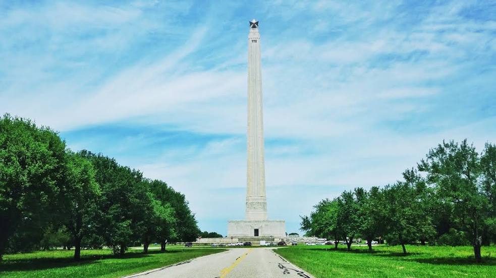
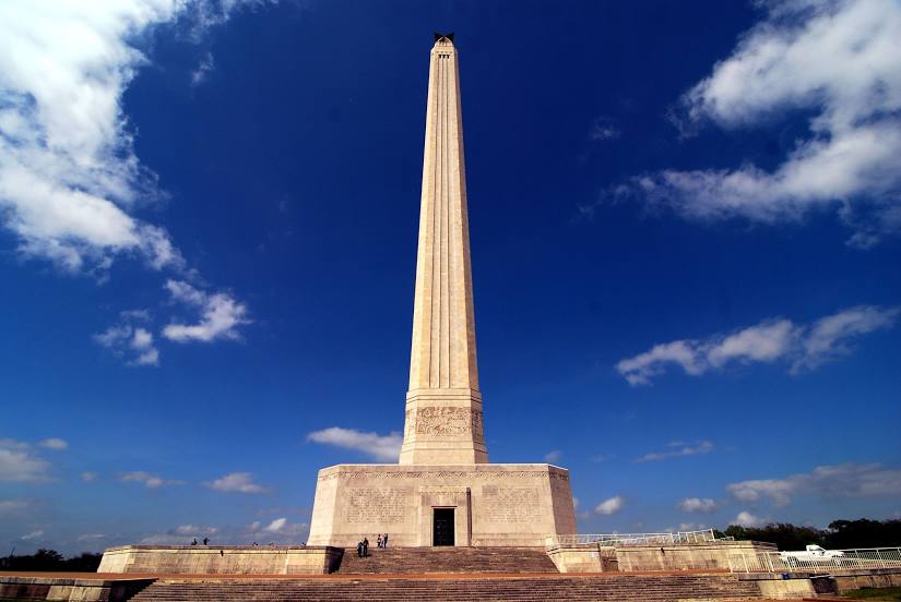
Attractions


Distance to the capital
Distance to the capital (Washington) is about — 1933 km.