 Palo Alto
Warrington
Newark
Temple
Robinson
Carlyle
Redwood City
Terre Haute
Carbondale
Higginsville
Kansas City
Shawnee
Hollister
Kearney
Raymore
Topeka
Salem
Leawood
Blue Springs
Palo Alto
Warrington
Newark
Temple
Robinson
Carlyle
Redwood City
Terre Haute
Carbondale
Higginsville
Kansas City
Shawnee
Hollister
Kearney
Raymore
Topeka
Salem
Leawood
Blue Springs
Saint Joseph on the map, United States
Where is located Saint Joseph
Exact location — Saint Joseph, Buchanan County, Missouri, United States, marked on the map with a red marker.
Coordinates
Saint Joseph, United States coordinates in decimal format: latitude — 39.7674578, longitude — -94.846681. When converted to degrees, minutes, seconds Saint Joseph has the following coordinates: 39°46′2.85 north latitude and -94°50′48.05 east longitude.
Population
Saint Joseph, Buchanan County, Missouri, United States, according to our data the population is — 71,745 residents, which is about 0% of the total population of the country (United States).
Comparison of the population on the graph:
Exact time
Time zone for this location Saint Joseph — UTC -5 America/Chicago. Exact time — wednesday, 4 april 2024 year, 23 h. 00 minutes.
Sunrise and sunset
Saint Joseph, sunrise and sunset data for a date — wednesday 17.04.2024.
| Sunrise | Sunset | Day (duration) |
|---|---|---|
| 06:40 -2 minutes | 19:56 +1 minute | 13 h. 18 minutes. +3 minutes |
You can control the scale of the map using the auxiliary tools to find out exactly where it is located Saint Joseph. When you change the scale of the map, the width of the ruler also changes (in kilometers and miles).
Nearby cities
The largest cities that are located nearby:
- North Kansas City — 73 km
- Kansas City — 77 km
- Independence — 83 km
- Overland Park — 88 km
- Olathe — 98 km
- Topeka — 107 km
- Omaha — 190 km
- Lincoln — 193 km
- Des Moines — 227 km
- Springfield — 314 km
- Wichita — 317 km
- Tulsa — 412 km
- Saint Louis — 421 km
- Sioux Falls — 444 km
- Peoria — 452 km
- Oklahoma City — 533 km
- Rockford — 546 km
- Norman — 554 km
- Madison — 572 km
Distance to neighboring capitals:
- Ottawa
 (Canada) — 1684 km
 - Mexico City
 (Mexico) — 2299 km
 - Belmopan
 (Belize) — 2572 km
 - Guatemala City
 (Guatemala) — 2829 km
 - Nuuk
 (Greenland) — 3881 km
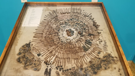
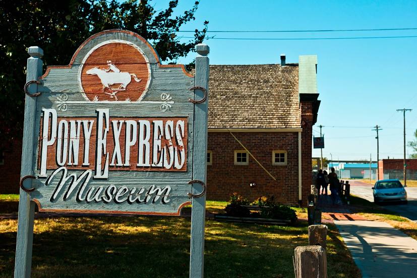
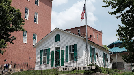
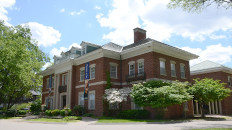
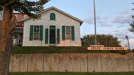
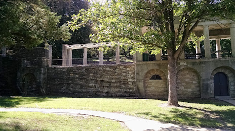
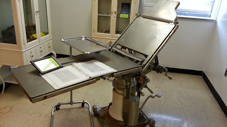
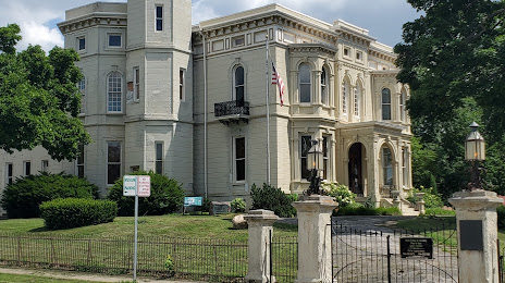
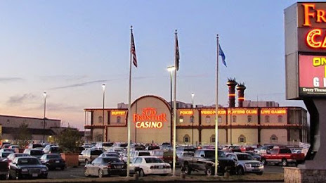
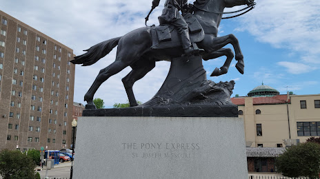
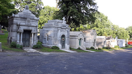
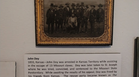
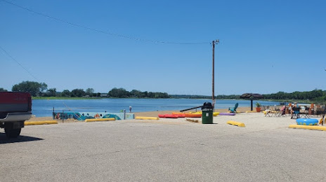
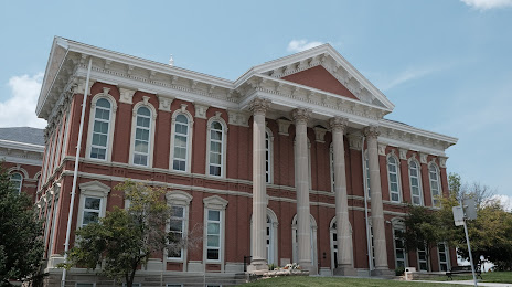
Attractions

Distance to the capital
Distance to the capital (Washington) is about — 1533 km.