 Newark
Temple
Robinson
Carlyle
Redwood City
Terre Haute
Carbondale
Shelbyville
Los Altos
North Highlands
Lawrence
Higginsville
Kansas City
Shawnee
Hollister
Kearney
Raymore
Topeka
Salem
Newark
Temple
Robinson
Carlyle
Redwood City
Terre Haute
Carbondale
Shelbyville
Los Altos
North Highlands
Lawrence
Higginsville
Kansas City
Shawnee
Hollister
Kearney
Raymore
Topeka
Salem
Lee's Summit on the map, United States
Where is located Lee's Summit
Exact location — Lee's Summit, Jackson County, Missouri, United States, marked on the map with a red marker.
Coordinates
Lee's Summit, United States coordinates in decimal format: latitude — 38.9108408, longitude — -94.3821724. When converted to degrees, minutes, seconds Lee's Summit has the following coordinates: 38°54′39.03 north latitude and -94°22′55.82 east longitude.
Population
Lee's Summit, Jackson County, Missouri, United States, according to our data the population is — 91,364 residents, which is about 0% of the total population of the country (United States).
Comparison of the population on the graph:
Exact time
Time zone for this location Lee's Summit — UTC -5 America/Chicago. Exact time — saturday, 4 april 2024 year, 08 h. 20 minutes.
Sunrise and sunset
Lee's Summit, sunrise and sunset data for a date — saturday 20.04.2024.
| Sunrise | Sunset | Day (duration) |
|---|---|---|
| 06:35 -2 minutes | 19:56 +1 minute | 13 h. 24 minutes. +3 minutes |
You can control the scale of the map using the auxiliary tools to find out exactly where it is located Lee's Summit. When you change the scale of the map, the width of the ruler also changes (in kilometers and miles).
Nearby cities
The largest cities that are located nearby:
- Independence — 20 km
- Overland Park — 26 km
- Kansas City — 27 km
- North Kansas City — 30 km
- Olathe — 38 km
- Topeka — 113 km
- Springfield — 211 km
- Lincoln — 286 km
- Wichita — 292 km
- Omaha — 292 km
- Des Moines — 304 km
- Tulsa — 337 km
- Saint Louis — 363 km
- Peoria — 448 km
- Oklahoma City — 474 km
- Norman — 492 km
- Little Rock — 498 km
- Sioux Falls — 546 km
- Rockford — 570 km
Distance to neighboring capitals:
- Ottawa
 (Canada) — 1697 km
 - Mexico City
 (Mexico) — 2214 km
 - Belmopan
 (Belize) — 2470 km
 - Guatemala City
 (Guatemala) — 2729 km
 - Nuuk
 (Greenland) — 3942 km
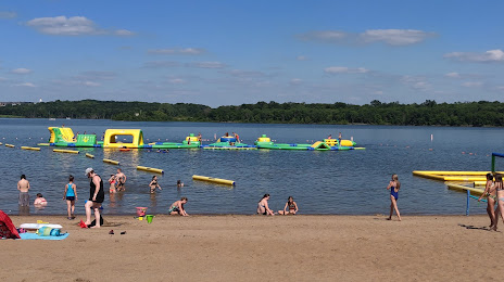
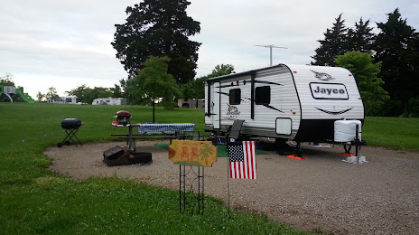
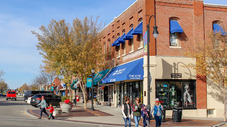
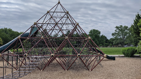
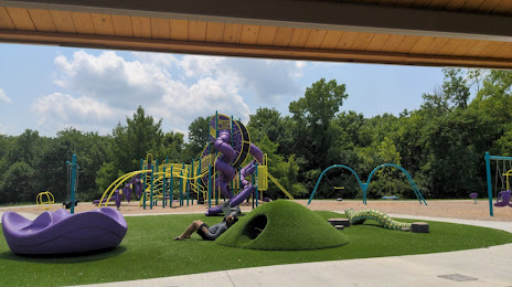
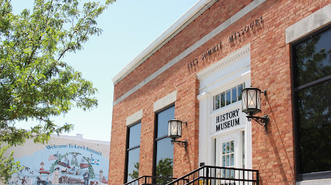
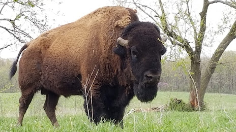
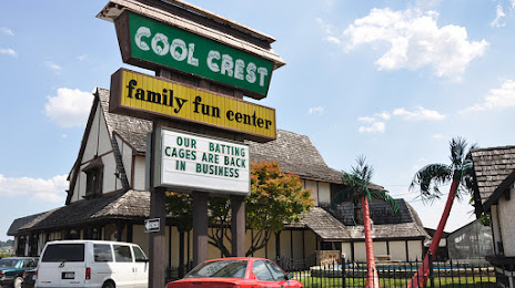
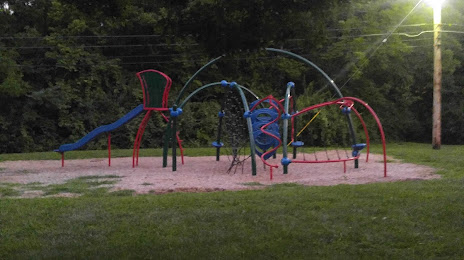
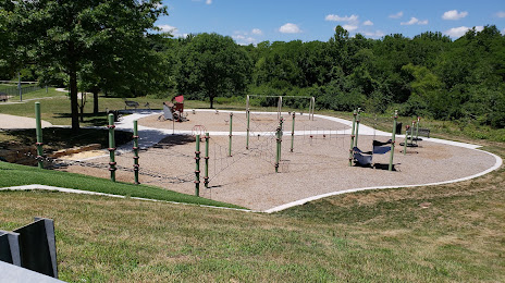
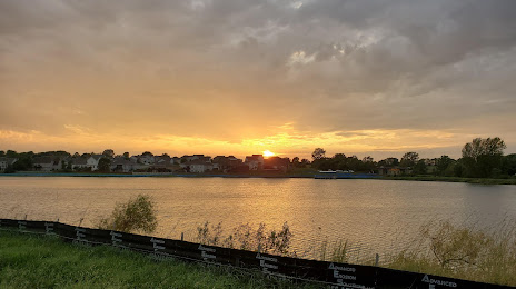
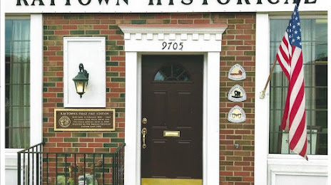
Attractions


Distance to the capital
Distance to the capital (Washington) is about — 1499 km.