 Shelbyville
Los Altos
De Pere
Baileys Harbor
New Haven
Sterlington
San Carlos
North Haven
Millbrae
Sheridan Airport
Chillicothe
Morrilton
Salina
Emporia
Stanberry
Powhattan
North Highlands
Lawrence
Higginsville
Shelbyville
Los Altos
De Pere
Baileys Harbor
New Haven
Sterlington
San Carlos
North Haven
Millbrae
Sheridan Airport
Chillicothe
Morrilton
Salina
Emporia
Stanberry
Powhattan
North Highlands
Lawrence
Higginsville
Burlingame on the map, United States
Where is located Burlingame
Exact location — Burlingame, San Mateo County, California, United States, marked on the map with a red marker.
Coordinates
Burlingame, United States coordinates in decimal format: latitude — 37.5778696, longitude — -122.34809. When converted to degrees, minutes, seconds Burlingame has the following coordinates: 37°34′40.33 north latitude and -122°20′53.12 east longitude.
Population
Burlingame, San Mateo County, California, United States, according to our data the population is — 26,777 residents, which is about 0% of the total population of the country (United States).
Comparison of the population on the graph:
Exact time
Time zone for this location Burlingame — UTC -7 America/Los_Angeles. Exact time — wednesday, 4 april 2024 year, 05 h. 48 minutes.
Sunrise and sunset
Burlingame, sunrise and sunset data for a date — wednesday 17.04.2024.
| Sunrise | Sunset | Day (duration) |
|---|---|---|
| 06:33 -1 minute | 19:44 +1 minute | 13 h. 12 minutes. +2 minutes |
You can control the scale of the map using the auxiliary tools to find out exactly where it is located Burlingame. When you change the scale of the map, the width of the ruler also changes (in kilometers and miles).
Nearby cities
The largest cities that are located nearby:
- San Francisco — 23 km
- Hayward — 25 km
- Oakland — 26 km
- Fremont — 32 km
- Berkeley — 33 km
- Sunnyvale — 36 km
- Richmond — 37 km
- Santa Clara — 42 km
- San Jose — 48 km
- Concord — 52 km
- Vallejo — 59 km
- Fairfield — 79 km
- Santa Rosa — 100 km
- Stockton — 101 km
- Salinas — 117 km
- Modesto — 118 km
- Sacramento — 133 km
- Roseville — 159 km
- Fresno — 246 km
Distance to neighboring capitals:
- Mexico City
 (Mexico) — 3021 km
 - Ottawa
 (Canada) — 3925 km
 - Belmopan
 (Belize) — 3978 km
 - Guatemala City
 (Guatemala) — 4042 km
 - Nuuk
 (Greenland) — 5386 km
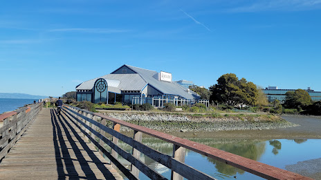
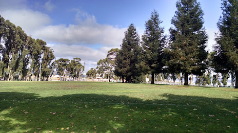
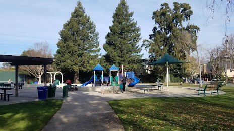
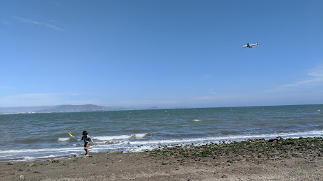
Attractions


Distance to the capital
Distance to the capital (Washington) is about — 3920 km.