 Baileys Harbor
New Haven
Sterlington
San Carlos
North Haven
Millbrae
Chiloquin
Union City
Allendale
Broken Arrow
Saint Joseph
Monett
Sheridan Airport
Chillicothe
Morrilton
Salina
Emporia
Stanberry
Powhattan
Baileys Harbor
New Haven
Sterlington
San Carlos
North Haven
Millbrae
Chiloquin
Union City
Allendale
Broken Arrow
Saint Joseph
Monett
Sheridan Airport
Chillicothe
Morrilton
Salina
Emporia
Stanberry
Powhattan
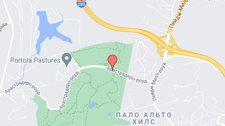
Palo Alto on the map, United States
Where is located Palo Alto
Exact location — Palo Alto, Santa Clara County, California, United States, marked on the map with a red marker.
Coordinates
Palo Alto, United States coordinates in decimal format: latitude — 37.4418834, longitude — -122.1430195. When converted to degrees, minutes, seconds Palo Alto has the following coordinates: 37°26′30.78 north latitude and -122°8′34.87 east longitude.
Population
Palo Alto, Santa Clara County, California, United States, according to our data the population is — 56,508 residents, which is about 0% of the total population of the country (United States).
Comparison of the population on the graph:
Exact time
Time zone for this location Palo Alto — UTC -7 America/Los_Angeles. Exact time — thursday, 4 april 2024 year, 16 h. 10 minutes.
Sunrise and sunset
Palo Alto, sunrise and sunset data for a date — thursday 18.04.2024.
| Sunrise | Sunset | Day (duration) |
|---|---|---|
| 06:31 -1 minute | 19:44 +1 minute | 13 h. 12 minutes. +2 minutes |
You can control the scale of the map using the auxiliary tools to find out exactly where it is located Palo Alto. When you change the scale of the map, the width of the ruler also changes (in kilometers and miles).
Nearby cities
The largest cities that are located nearby:
- Sunnyvale — 12 km
- Fremont — 18 km
- Santa Clara — 19 km
- San Jose — 25 km
- Hayward — 26 km
- Oakland — 42 km
- San Francisco — 44 km
- Berkeley — 49 km
- Richmond — 55 km
- Concord — 60 km
- Vallejo — 74 km
- Fairfield — 90 km
- Stockton — 94 km
- Salinas — 95 km
- Modesto — 103 km
- Santa Rosa — 121 km
- Sacramento — 138 km
- Roseville — 163 km
- Fresno — 224 km
Distance to neighboring capitals:
- Mexico City
 (Mexico) — 2997 km
 - Ottawa
 (Canada) — 3916 km
 - Belmopan
 (Belize) — 3955 km
 - Guatemala City
 (Guatemala) — 4018 km
 - Nuuk
 (Greenland) — 5389 km
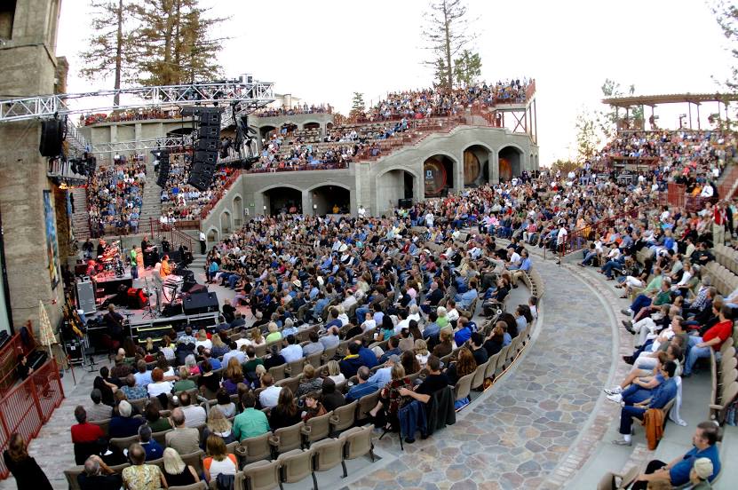
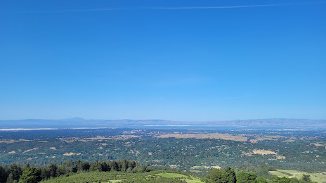
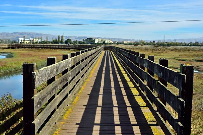
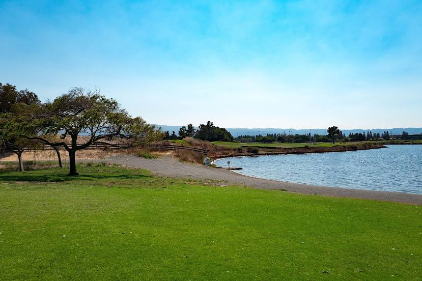
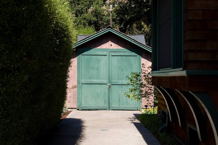
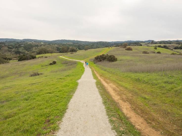
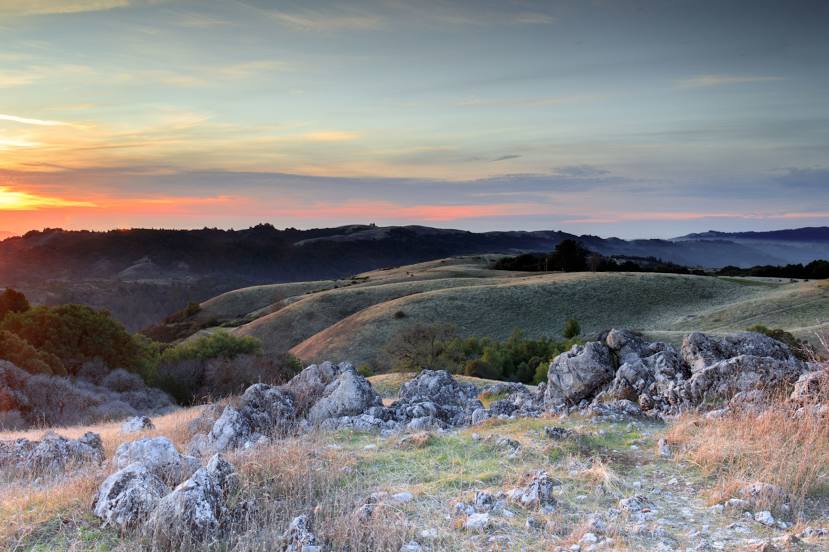
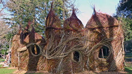
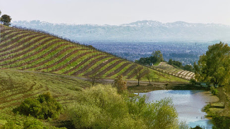
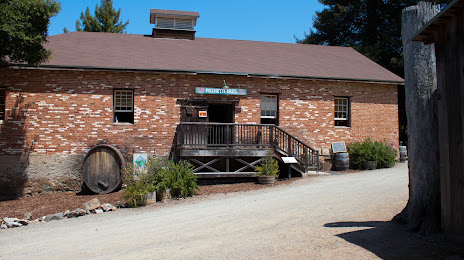
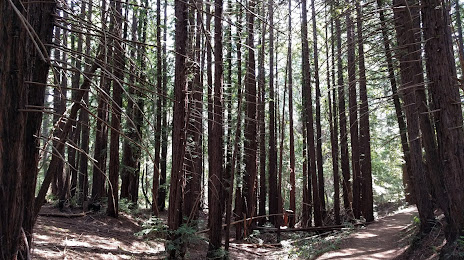
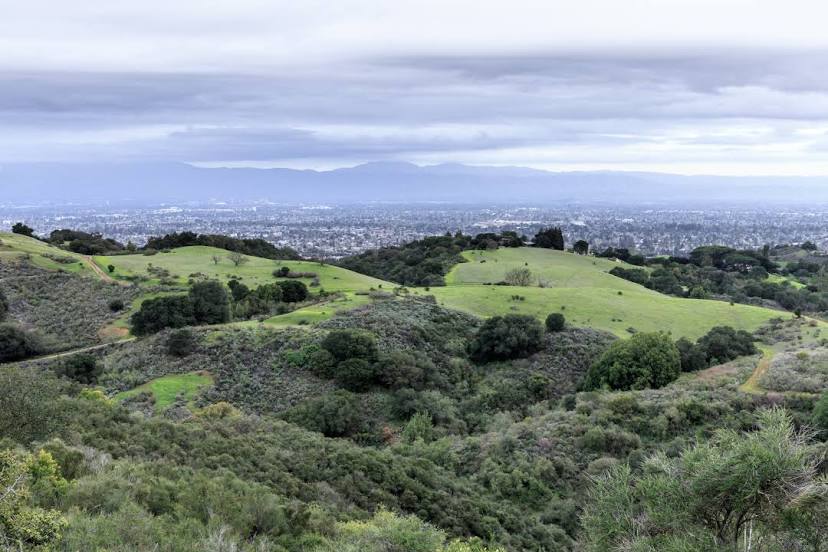
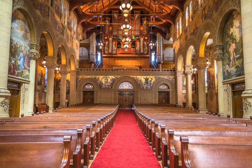
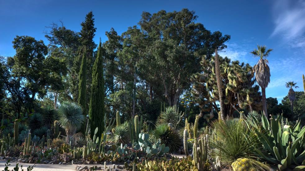
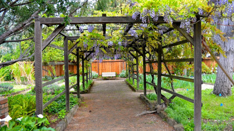
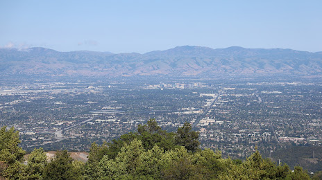
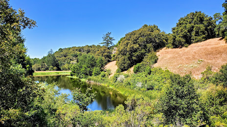
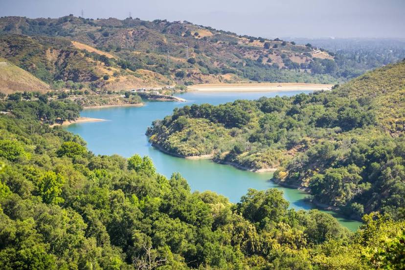
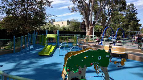
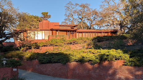
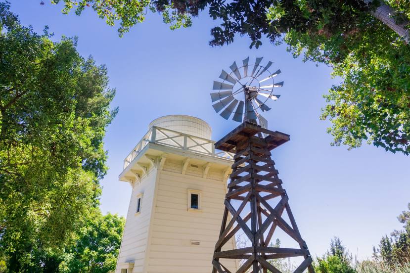
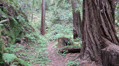
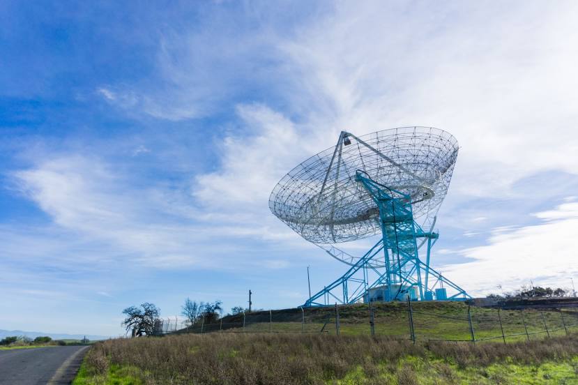
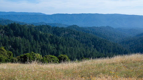
Attractions


Distance to the capital
Distance to the capital (Washington) is about — 3907 km.