 Connersville
Ashland
Sergeant Bluff
Morganton
Wilmette
Sioux City
Council Bluffs
Southaven
Louisville
Dublin
Fremont
Burlingame
Boonville
El Dorado
Myrtle Beach
Harrisonville
Manhattan
Orland Park
Lee's Summit
Connersville
Ashland
Sergeant Bluff
Morganton
Wilmette
Sioux City
Council Bluffs
Southaven
Louisville
Dublin
Fremont
Burlingame
Boonville
El Dorado
Myrtle Beach
Harrisonville
Manhattan
Orland Park
Lee's Summit
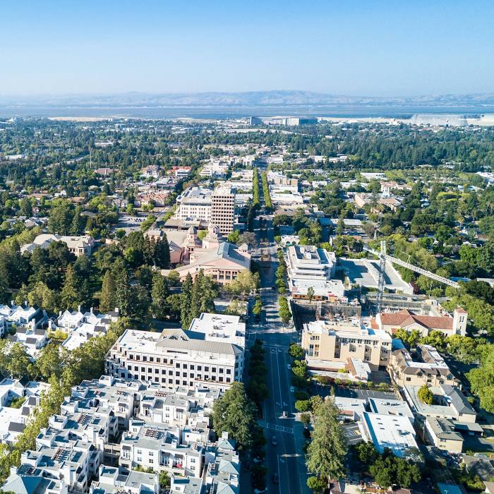
Los Altos on the map, United States
Where is located Los Altos
Exact location — Los Altos, Santa Clara County, California, United States, marked on the map with a red marker.
Coordinates
Los Altos, United States coordinates in decimal format: latitude — 37.3852183, longitude — -122.1141298. When converted to degrees, minutes, seconds Los Altos has the following coordinates: 37°23′6.79 north latitude and -122°6′50.87 east longitude.
Population
Los Altos, Santa Clara County, California, United States, according to our data the population is — 26,871 residents, which is about 0% of the total population of the country (United States).
Comparison of the population on the graph:
Exact time
Time zone for this location Los Altos — UTC -7 America/Los_Angeles. Exact time — friday, 4 april 2024 year, 23 h. 50 minutes.
Sunrise and sunset
Los Altos, sunrise and sunset data for a date — friday 19.04.2024.
| Sunrise | Sunset | Day (duration) |
|---|---|---|
| 06:30 -1 minute | 19:44 +1 minute | 13 h. 12 minutes. +2 minutes |
You can control the scale of the map using the auxiliary tools to find out exactly where it is located Los Altos. When you change the scale of the map, the width of the ruler also changes (in kilometers and miles).
Nearby cities
The largest cities that are located nearby:
- Sunnyvale — 7 km
- Santa Clara — 14 km
- San Jose — 21 km
- Fremont — 21 km
- Hayward — 31 km
- Oakland — 48 km
- San Francisco — 51 km
- Berkeley — 56 km
- Richmond — 62 km
- Concord — 66 km
- Vallejo — 80 km
- Salinas — 88 km
- Stockton — 96 km
- Fairfield — 96 km
- Modesto — 102 km
- Santa Rosa — 128 km
- Sacramento — 143 km
- Roseville — 167 km
- Fresno — 219 km
Distance to neighboring capitals:
- Mexico City
 (Mexico) — 2991 km
 - Ottawa
 (Canada) — 3917 km
 - Belmopan
 (Belize) — 3950 km
 - Guatemala City
 (Guatemala) — 4013 km
 - Nuuk
 (Greenland) — 5393 km
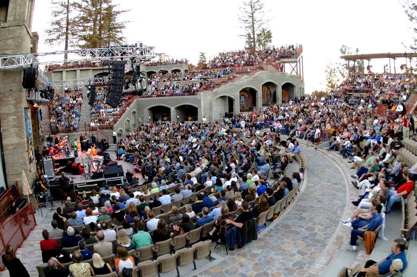
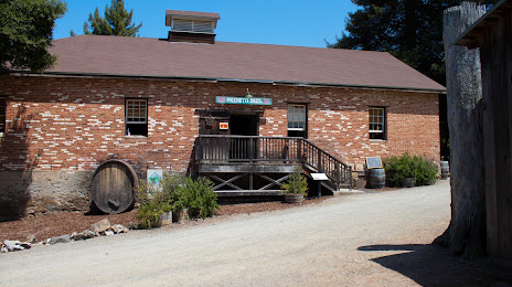
Attractions


Distance to the capital
Distance to the capital (Washington) is about — 3906 km.