 Wisner
Tucker
Washington
Choudrant
Demopolis
Huntsville
Buffalo Grove
Andalusia
Philadelphia
North Haven
San Carlos
Sterlington
New Haven
Baileys Harbor
De Pere
Los Altos
Shelbyville
Carbondale
Terre Haute
Wisner
Tucker
Washington
Choudrant
Demopolis
Huntsville
Buffalo Grove
Andalusia
Philadelphia
North Haven
San Carlos
Sterlington
New Haven
Baileys Harbor
De Pere
Los Altos
Shelbyville
Carbondale
Terre Haute
Sioux City on the map, United States
Where is located Sioux City
Exact location — Sioux City, Woodbury County, Iowa, United States, marked on the map with a red marker.
Coordinates
Sioux City, United States coordinates in decimal format: latitude — 42.4999942, longitude — -96.4003069. When converted to degrees, minutes, seconds Sioux City has the following coordinates: 42°29′59.98 north latitude and -96°24′1.1 east longitude.
Population
Sioux City, Woodbury County, Iowa, United States, according to our data the population is — 83,248 residents, which is about 0% of the total population of the country (United States).
Comparison of the population on the graph:
Exact time
Time zone for this location Sioux City — UTC -5 America/Chicago. Exact time — saturday, 4 april 2024 year, 03 h. 38 minutes.
Sunrise and sunset
Sioux City, sunrise and sunset data for a date — saturday 20.04.2024.
| Sunrise | Sunset | Day (duration) |
|---|---|---|
| 06:38 -1 minute | 20:10 +1 minute | 13 h. 30 minutes. +2 minutes |
You can control the scale of the map using the auxiliary tools to find out exactly where it is located Sioux City. When you change the scale of the map, the width of the ruler also changes (in kilometers and miles).
Nearby cities
The largest cities that are located nearby:
- Sioux Falls — 118 km
- Omaha — 142 km
- Lincoln — 187 km
- Des Moines — 251 km
- Minneapolis — 368 km
- Saint Paul — 375 km
- Topeka — 386 km
- North Kansas City — 403 km
- Kansas City — 407 km
- Independence — 414 km
- Overland Park — 416 km
- Olathe — 423 km
- Wichita — 538 km
- Madison — 569 km
- Rockford — 598 km
- Peoria — 605 km
- Springfield — 646 km
- Aurora — 671 km
- Naperville — 685 km
Distance to neighboring capitals:
- Ottawa
 (Canada) — 1684 km
 - Mexico City
 (Mexico) — 2579 km
 - Belmopan
 (Belize) — 2900 km
 - Guatemala City
 (Guatemala) — 3152 km
 - Nuuk
 (Greenland) — 3695 km
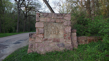
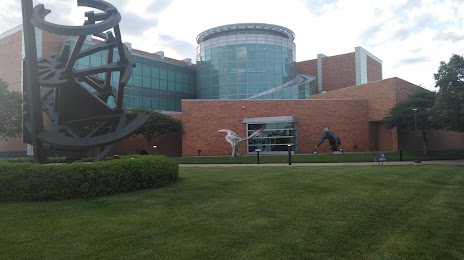
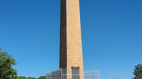
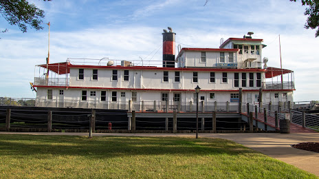
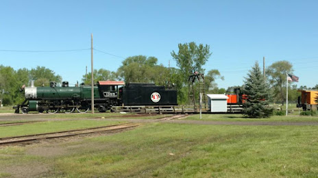
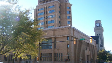
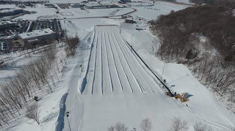
Attractions


Distance to the capital
Distance to the capital (Washington) is about — 1677 km.